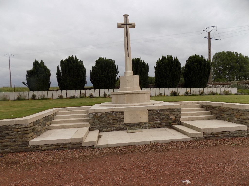
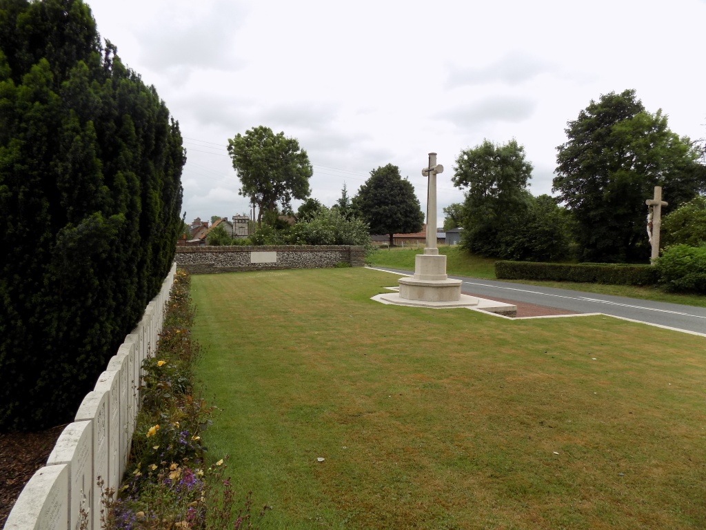
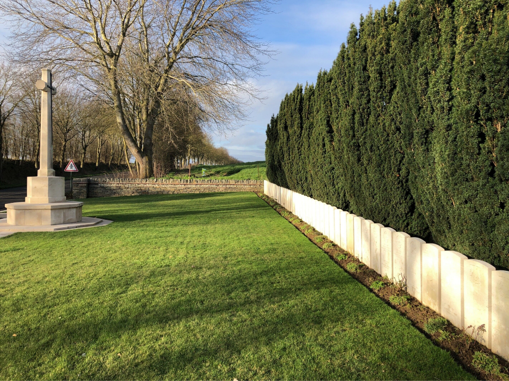
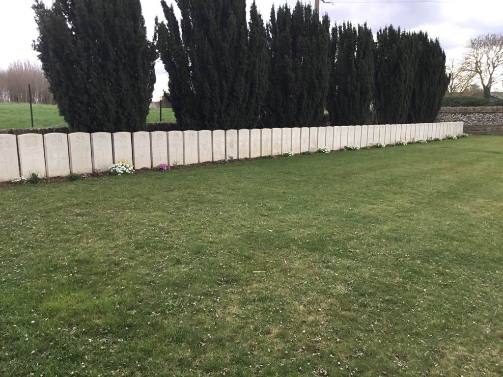
Henin Crucifix Cemetery
- Country France
- Total identified casualties 59 Find these casualties
- Region Pas de Calais
- Identified casualties from First World War
- GPS Coordinates Latitude: 50.22728, Longitude: 2.8334
Location information
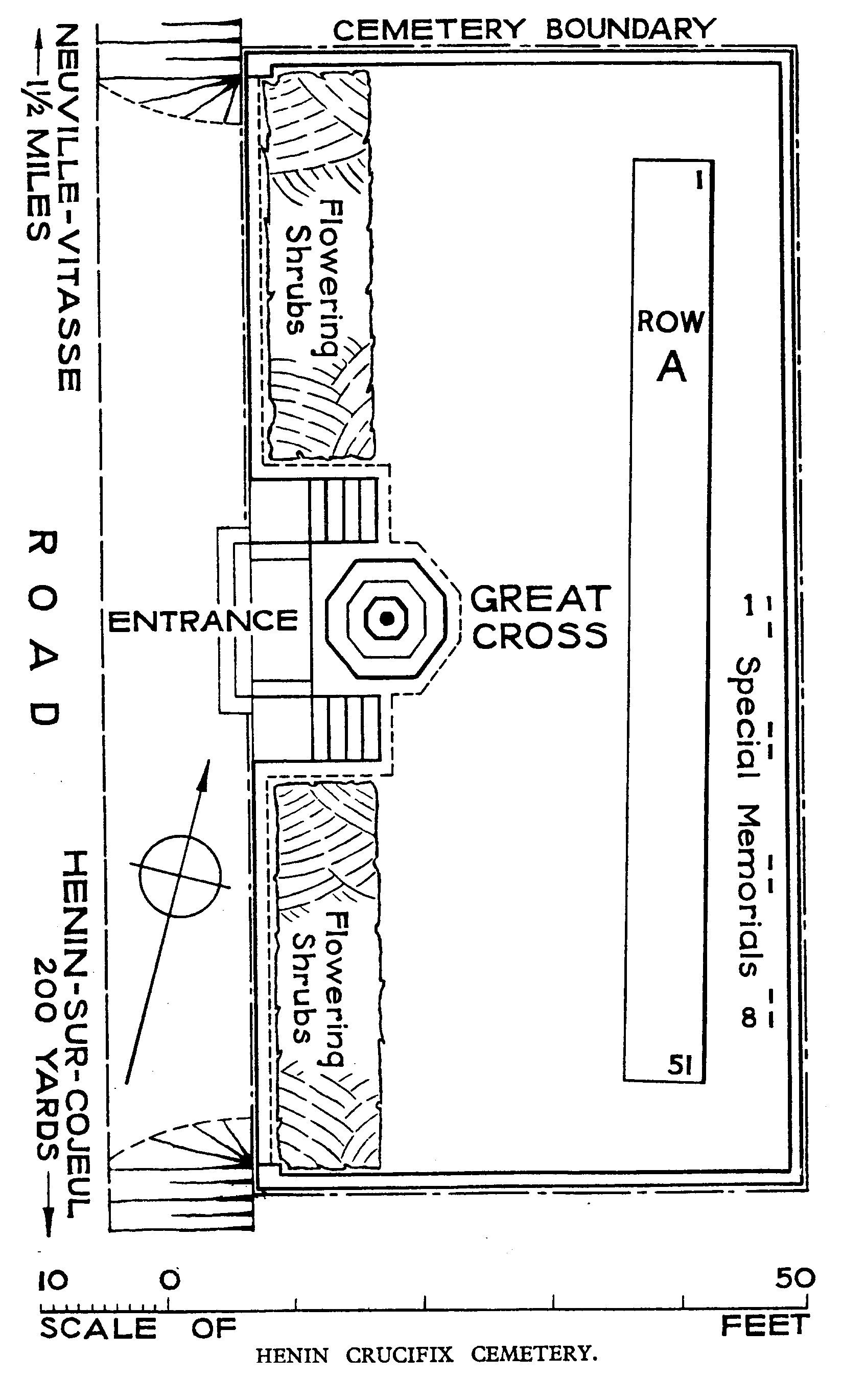
Henin-sur-Cojeul is a village and commune in the Department of the Pas-de-Calais, 8 kilometres south-east of Arras and 2 kilometres east of the main road to Bapaume. The Cemetery is on the north side of the village and on the east side of the road to Neuville-Vitasse.
Visiting information
The location or design of this site makes wheelchair access very difficult. For further information regarding wheelchair access, please contact our Enquiries Section on enquiries@cwgc.org or 01628 507200.
History information
Henin-sur-Cojeul was captured on 2 April 1917, lost in March 1918 after an obstinate resistance by the 40th Division, and retaken on the following 24 August by the 52nd (Lowland) Division.
Henin Crucifix Cemetery is named from a calvary standing on the opposite side of the road. It was made by units of the 30th Division after the capture of the village in 1917.
Henin Crucifix Cemetery contains 61 burials and commemorations of the First World War. Two of the burials are unidentified and eight graves, destroyed in later fighting, are now represented by special memorials.
The cemetery was designed by G H Goldsmith.