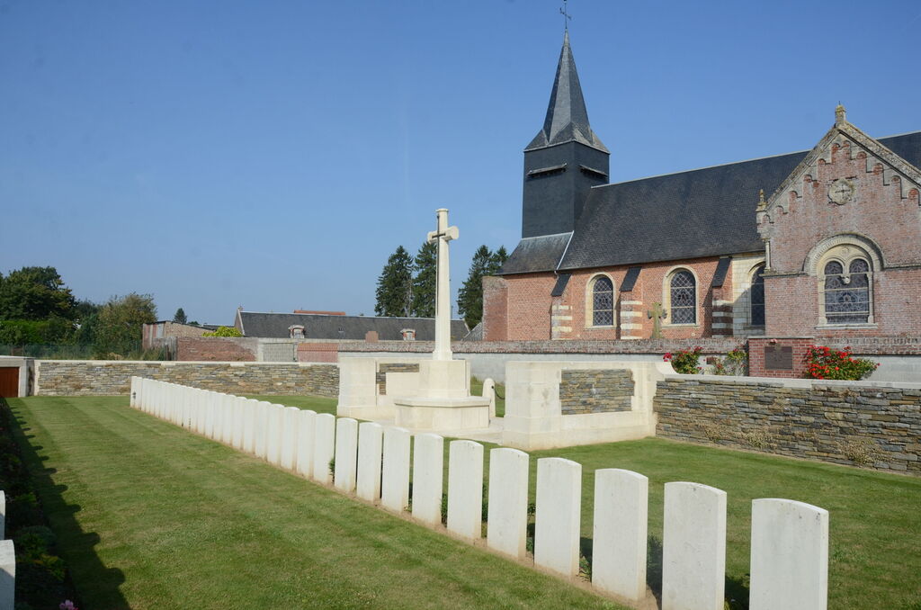
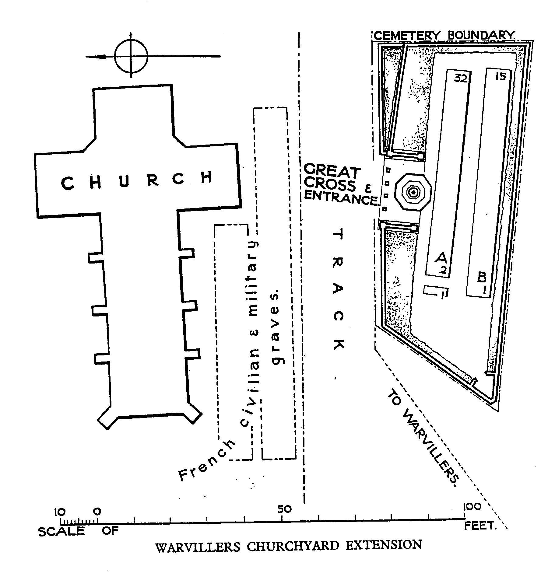
Warvillers Churchyard Extension
- Country France
- Total identified casualties 45 Find these casualties
- Region Somme
- Identified casualties from First World War
- GPS Coordinates Latitude: 49.77904, Longitude: 2.6891
Location information
Warvillers is a village approximately 4 kilometres north of Bouchoir, a town on the main straight road from Amiens to Roye. The Churchyard is a little east of the village.
Visiting information
Wheelchair access possible via main entrance. For further information regarding wheelchair access, please contact our enquiries dept. on 01628 634221.
Download Cemetery Plan
History information
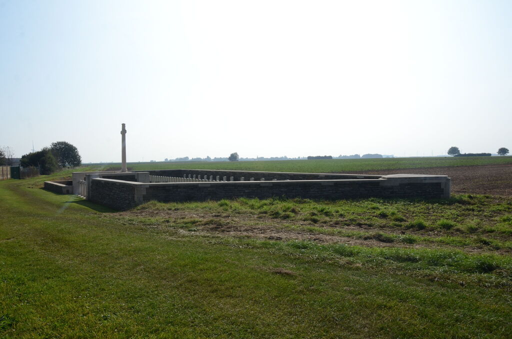
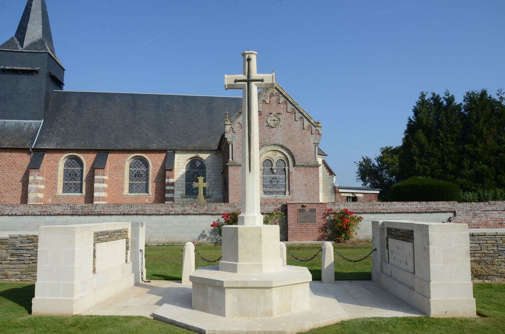
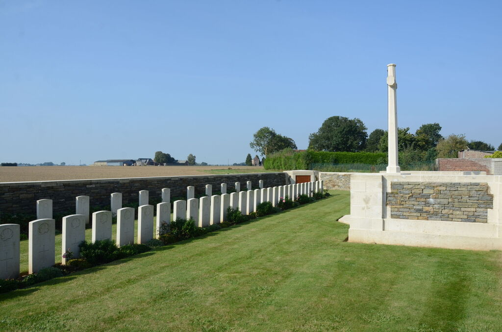
The extension to Warvillers churchyard was made by fighting units in August 1918. It contains 48 Commonwealth burials of the First World War, three of which are unidentified. The extension was designed by W H Cowlishaw.