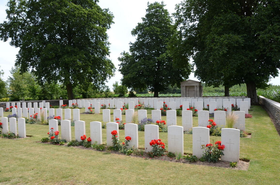
Cagnicourt British Cemetery
- Country France
- Total identified casualties 103 Find these casualties
- Region Pas de Calais
- Identified casualties from First & Second World War
- GPS Coordinates Latitude: 50.21319, Longitude: 3.00512
Location information
Cagnicourt is a village 18 kilometres south-east of Arras. The cemetery lies on the D13, 2 kilometres south of the main Arras-Cambrai road (D939) and is near the Communal Cemetery.
Visiting information
Wheelchair access with some difficulty. For further information regarding wheelchair access, please contact our enquiries department on telephone number 01628 634221.
History information
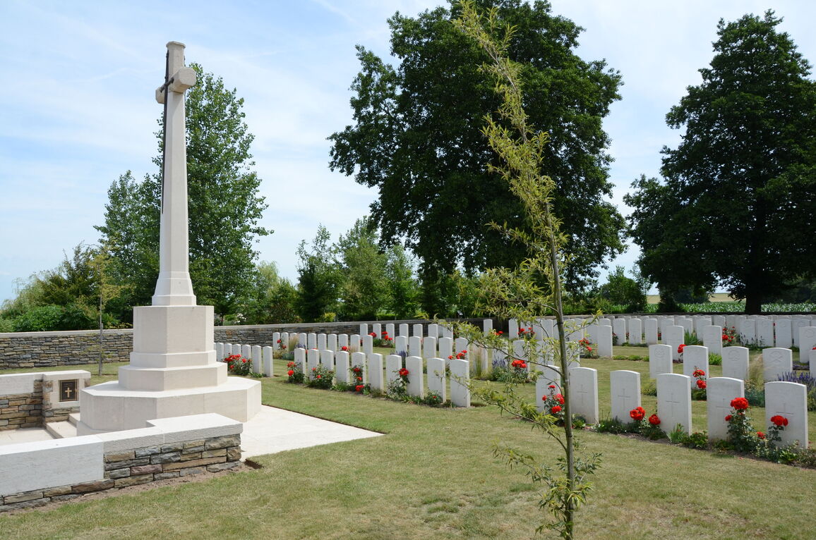
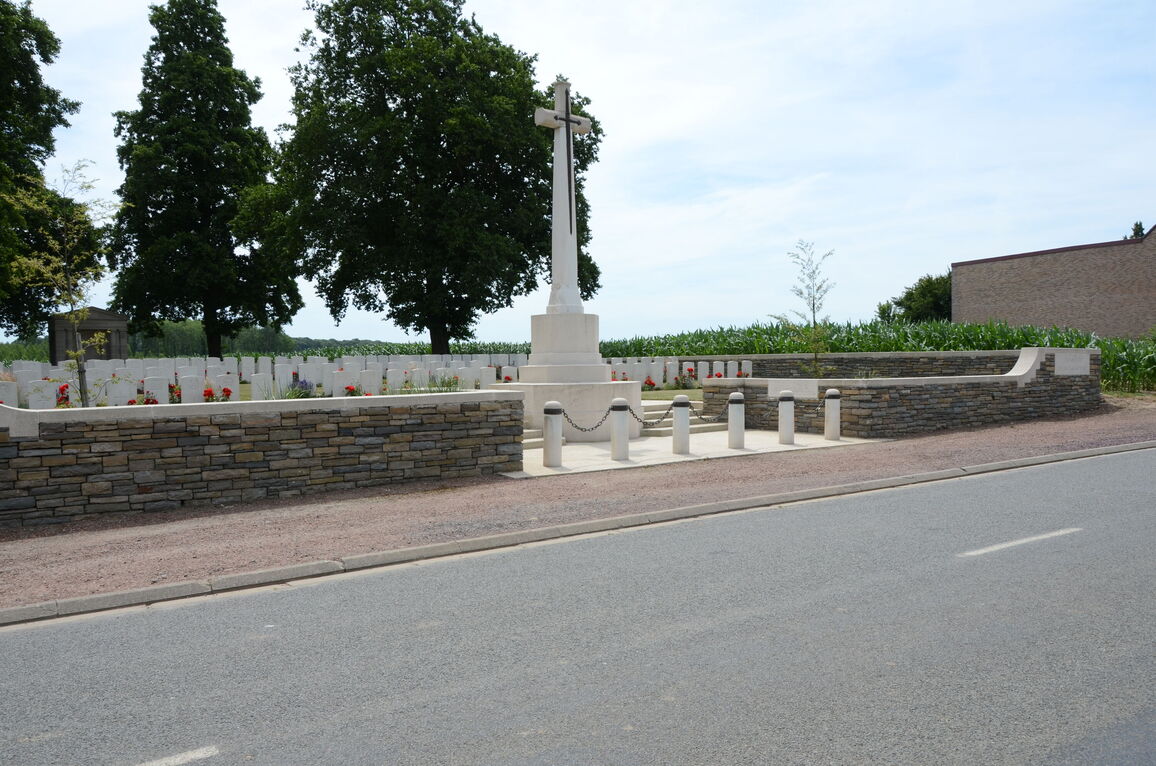
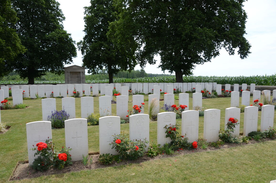
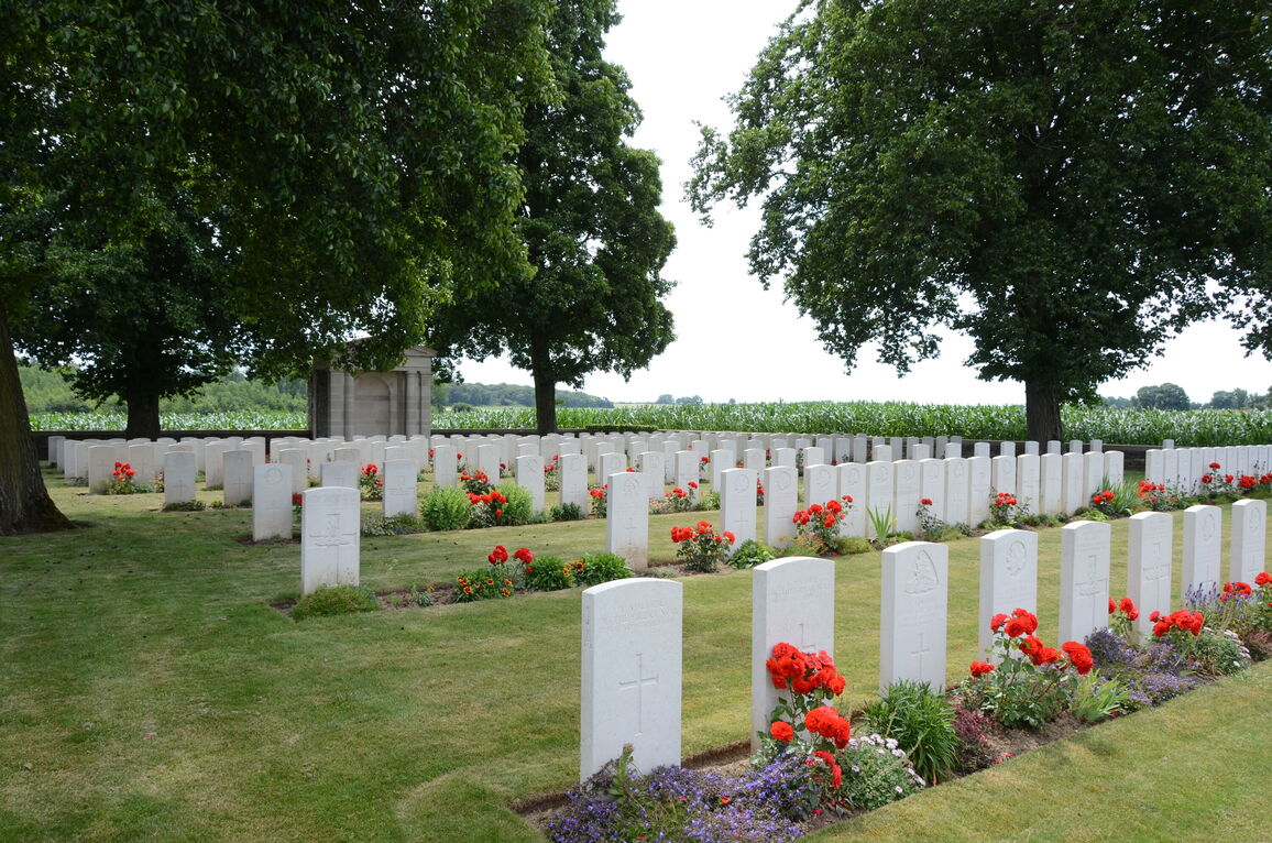
Cagnicourt was captured by British troops on the 2nd September, 1918, in the Battle of the Drocourt-Queant Line; and this cemetery was begun after the battle, alongside a German cemetery (now removed). It was used until the middle of October, 1918, when it contained 89 graves, and it was enlarged after the Armistice by the concentration of graves from the battlefields over a wide area round Cagnicourt. There are now nearly 300, 1914-18 and a small number of 1939-45 war casualties commemorated in this site. Of these, over half from the 1914-18 War are unidentified. The cemetery covers an area of 1,116 square metres and is enclosed by a rubble wall.