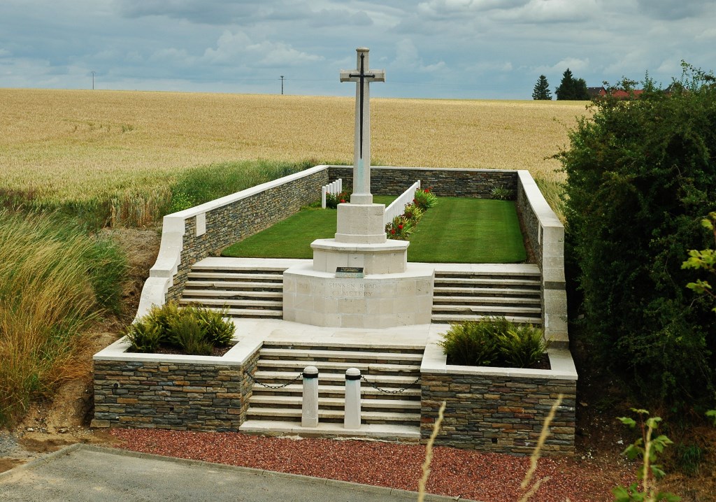
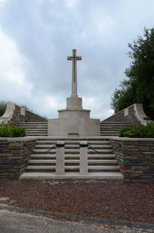
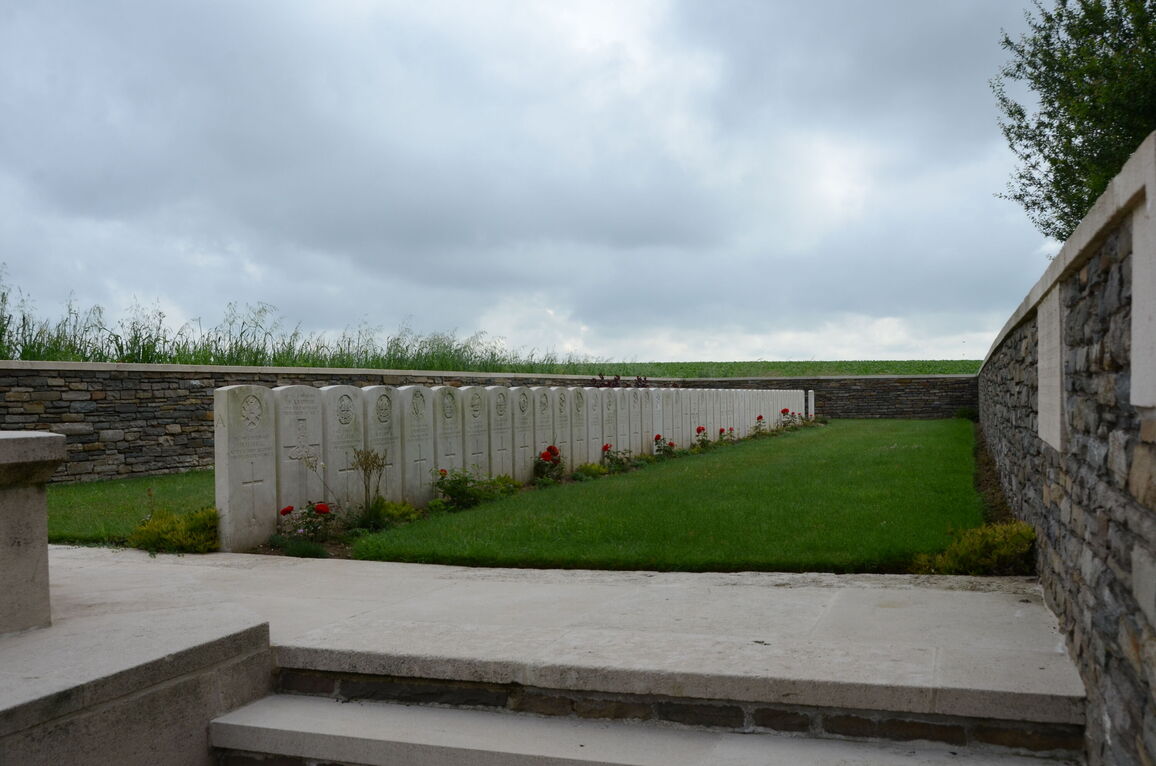
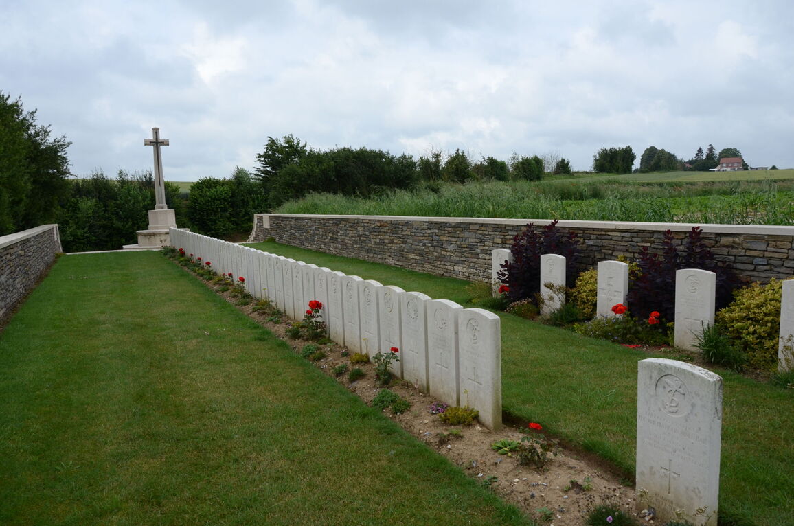
Sunken Road Cemetery, Villers-Plouich
- Country France
- Total identified casualties 48 Find these casualties
- Region Nord
- Identified casualties from First World War
- GPS Coordinates Latitude: 50.081, Longitude: 3.12509
Location information
Villers-Plouich is a village in the Department of the Nord, 2 kilometres north of Gouzeacourt which is 19 kilometres north-east of Peronne on the D917 and 16 kilometres south-west of Cambrai (N44/D917). This small Cemetery is signposted to the left as you pass the Villers Plouich Mairie on the D56 from direction Gouzeaucourt. It lies 500 metres past this signpost as you ascend a small unmarked road which eventually would lead to the hamlet Beaucamp.
Visiting information
The location or design of this site makes wheelchair access very difficult. For further information regarding wheelchair access, please contact our Enquiries Section on enquiries@cwgc.org or 01628 507200.
History information
Villers-Plouich was captured in April 1917, by the 13th East Surreys, lost in March 1918 and regained at the end of the following September, when the 1st East Surreys were the first troops to enter the village. It was later "adopted" by the Borough of Wandsworth.
There are now over 50, 1914-18 war casualties commemorated in this site. Of these, a small number are unidentified.
The cemetery covers an area of 257 square metres and is enclosed on three sides by a low rubble wall.