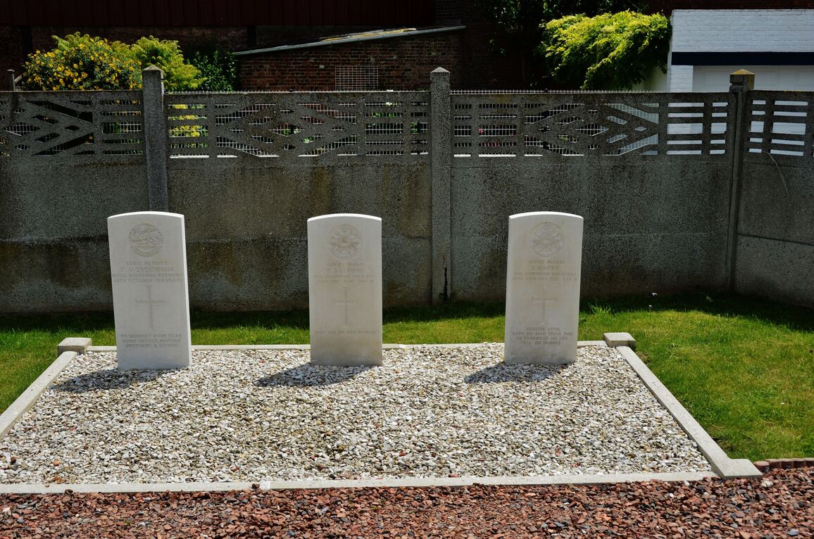
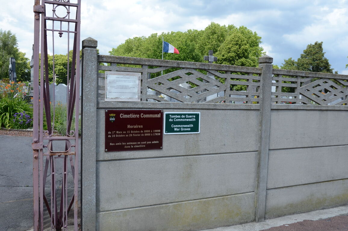
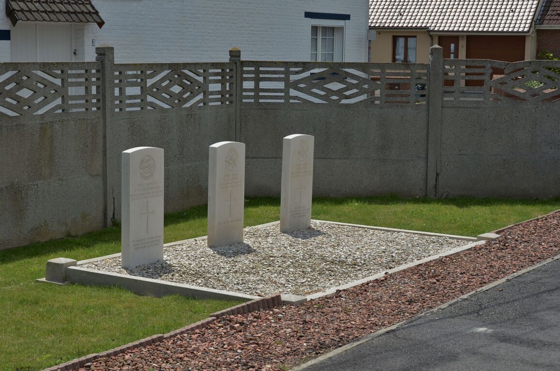
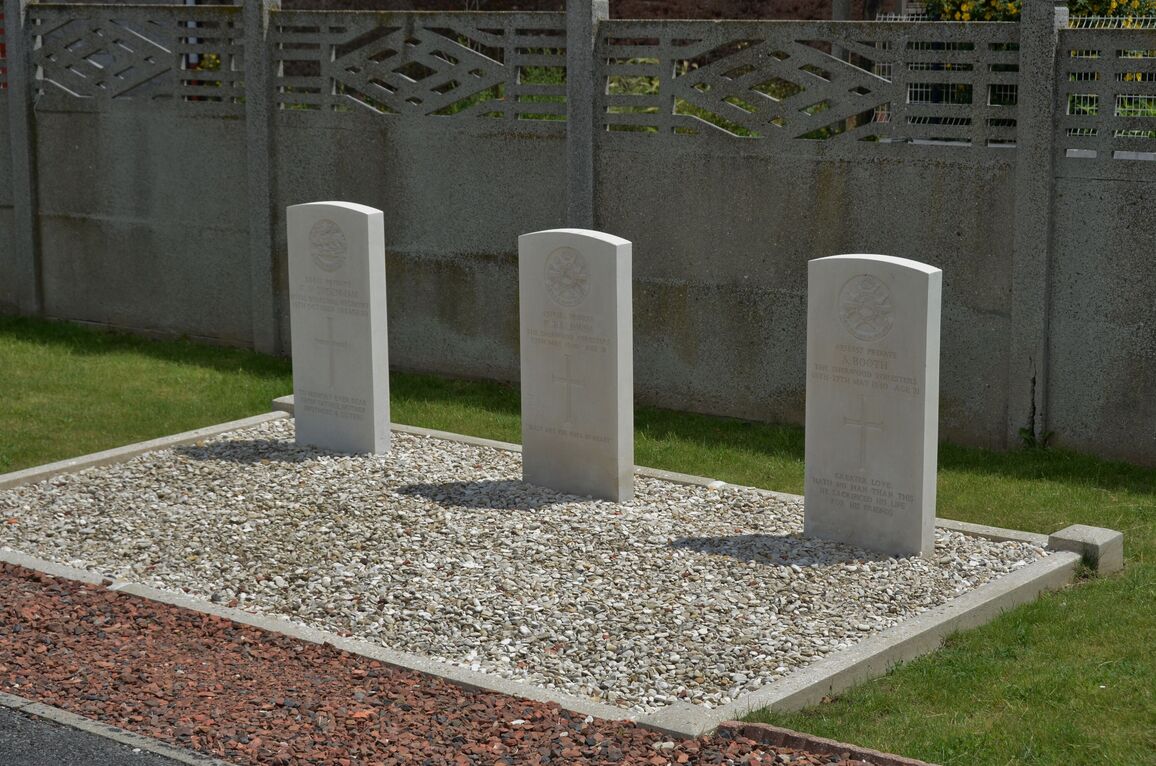
Dourges Communal Cemetery
- Country France
- Total identified casualties 3 Find these casualties
- Region Pas de Calais
- Identified casualties from First & Second World War
- GPS Coordinates Latitude: 50.43821, Longitude: 2.98741
Location information
Dourges is a village some 13 kilometres east of Lens, just north of the A21 motorway. The cemetery is set back to the right on entering the village from Evin-Malmaison. The graves are immediately to the left of the main entrance.