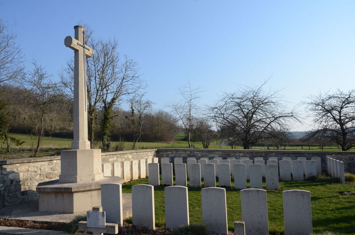
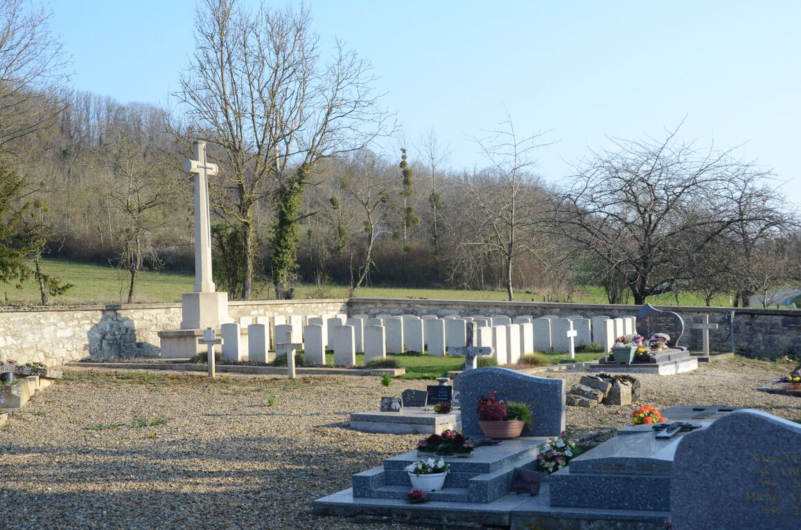
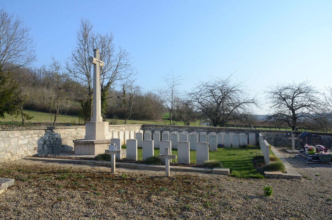
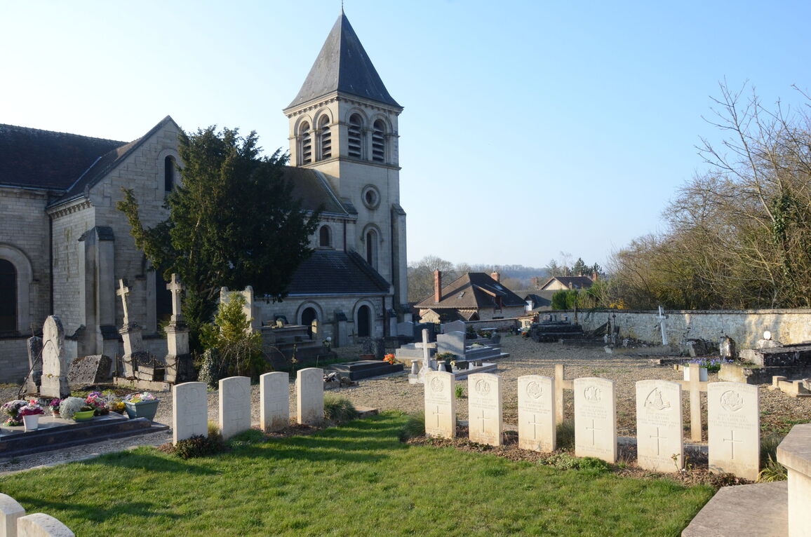
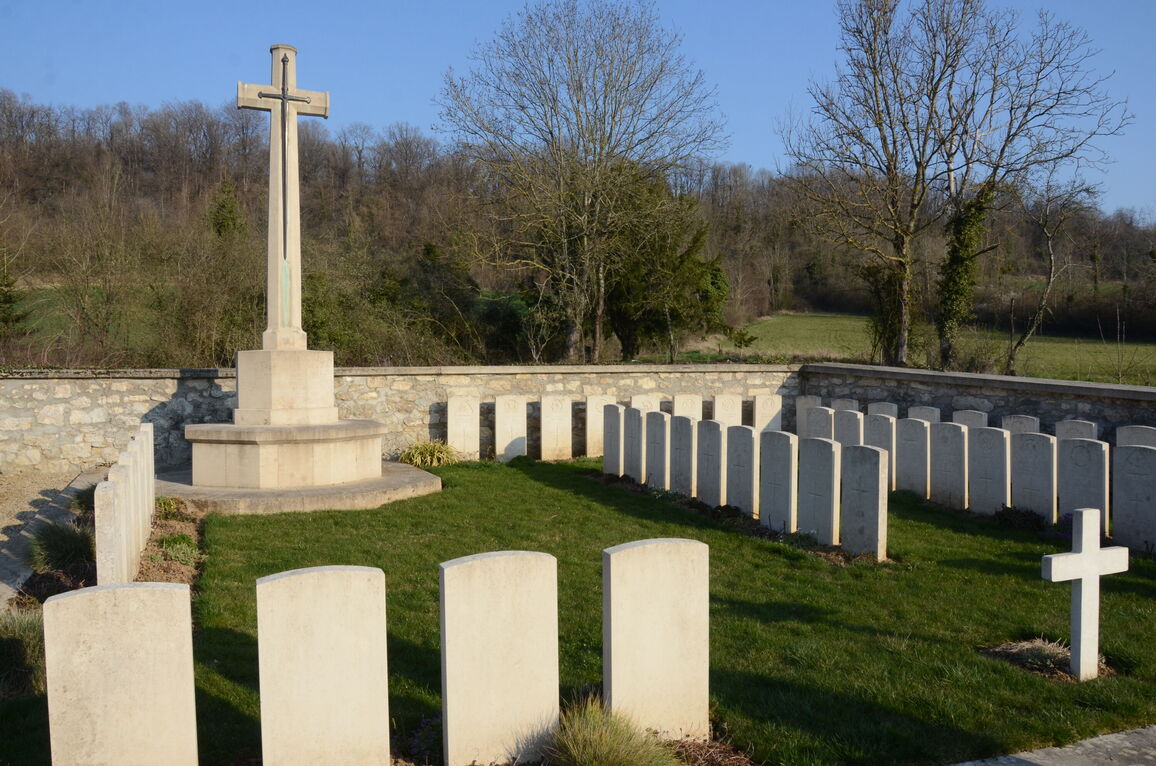
Vendresse Churchyard
- Country France
- Total identified casualties 43 Find these casualties
- Region Aisne
- Identified casualties from First World War
- GPS Coordinates Latitude: 49.42914, Longitude: 3.66711
Location information
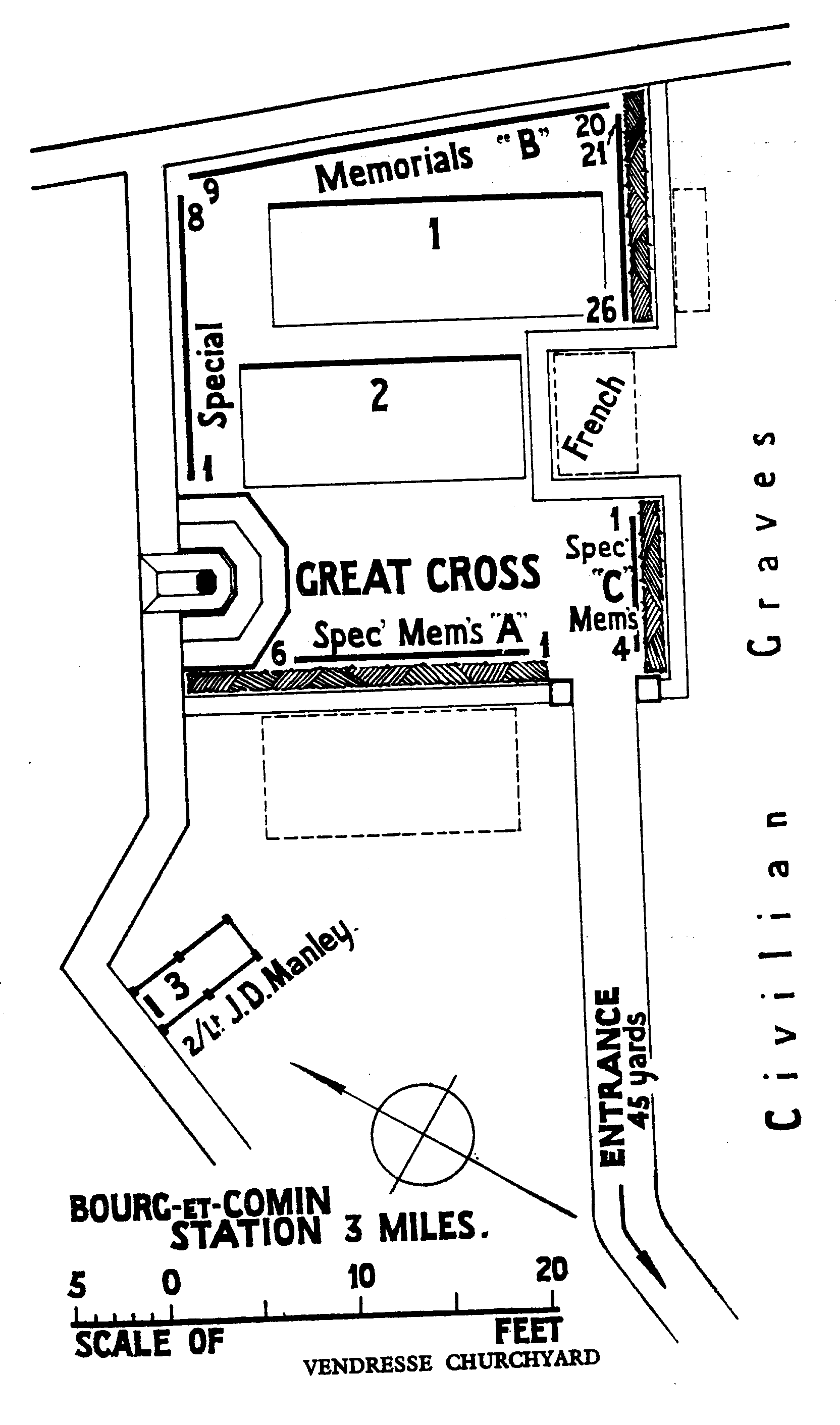
Vendresse Churchyard is located in the centre of the village of Vendresse-Beaulne, to the north of the main road running through the village. The CWGC Plot, which is surrounded by a small hedge, can be found to the rear of the church within the confines of the churchyard. Vendresse village can be reached from the direction of Laon by following the D967, Laon to Fismes road. From this direction the road is scenic. Shortly after passing Vendresse British Cemetery on the right side of the road, it is possible to see the church of Vendresse, also on the right side. Look for a right turn, D68, signposted Vendresse and Soupir. In the centre of the village turn right heading for the church and churchyard. Alternatively, when approaching from Soissons via Vailly-sur-Aisne on the D925, take the third exit at the roundabout at Bourg et Comin in the direction of Laon, D967. After a short distance turn left for Vendresse village (D68) where the above directions will apply.
Visiting information
The location or design of this churchyard makes wheelchair access impossible. For further information regarding wheelchair access, please contact our Enquiries Section on 01628 507200.
History information
The neighbourhood was the scene of severe fighting in which British troops took part in 1914 and 1918.
There are now over 80, 1914-18 war casualties commemorated in this site. Of these, half are unidentifed and special memorials are erected to 35 soldiers known to be buried here among them.