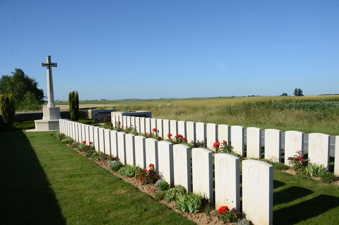
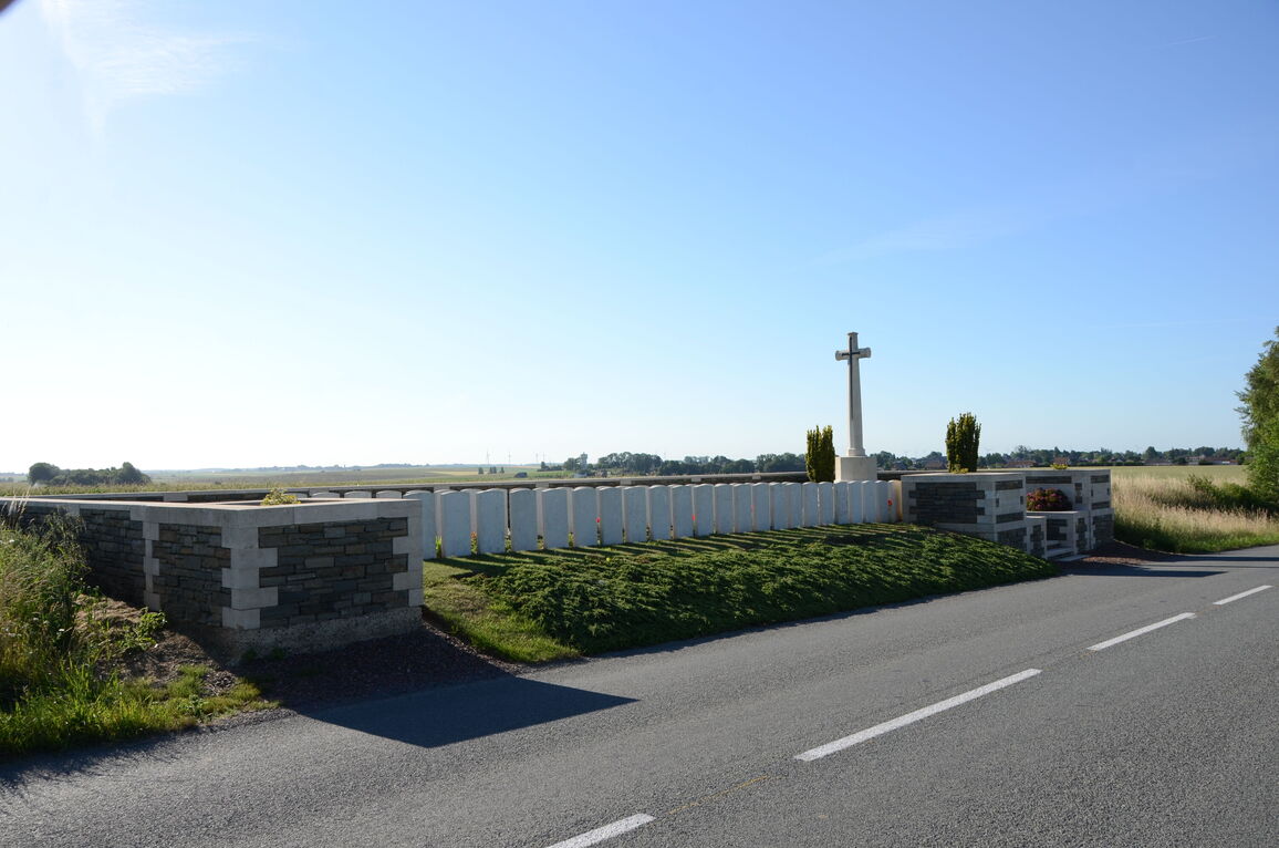
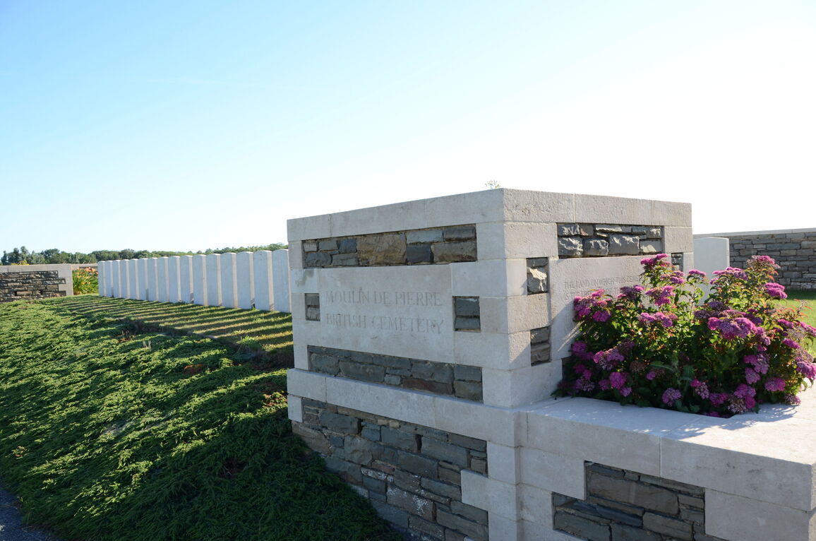
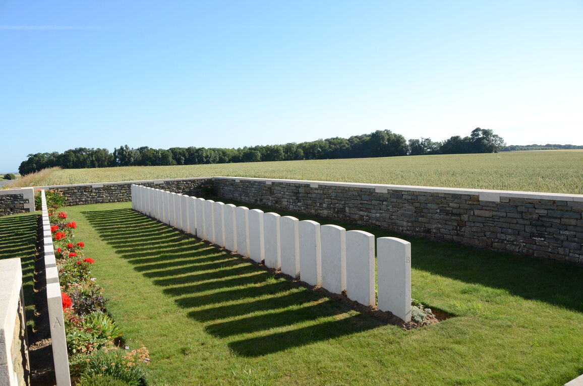
Moulin-De-Pierre British Cemetery
- Country France
- Total identified casualties 48 Find these casualties
- Region Nord
- Identified casualties from First World War
- GPS Coordinates Latitude: 50.04592, Longitude: 3.28682
Location information
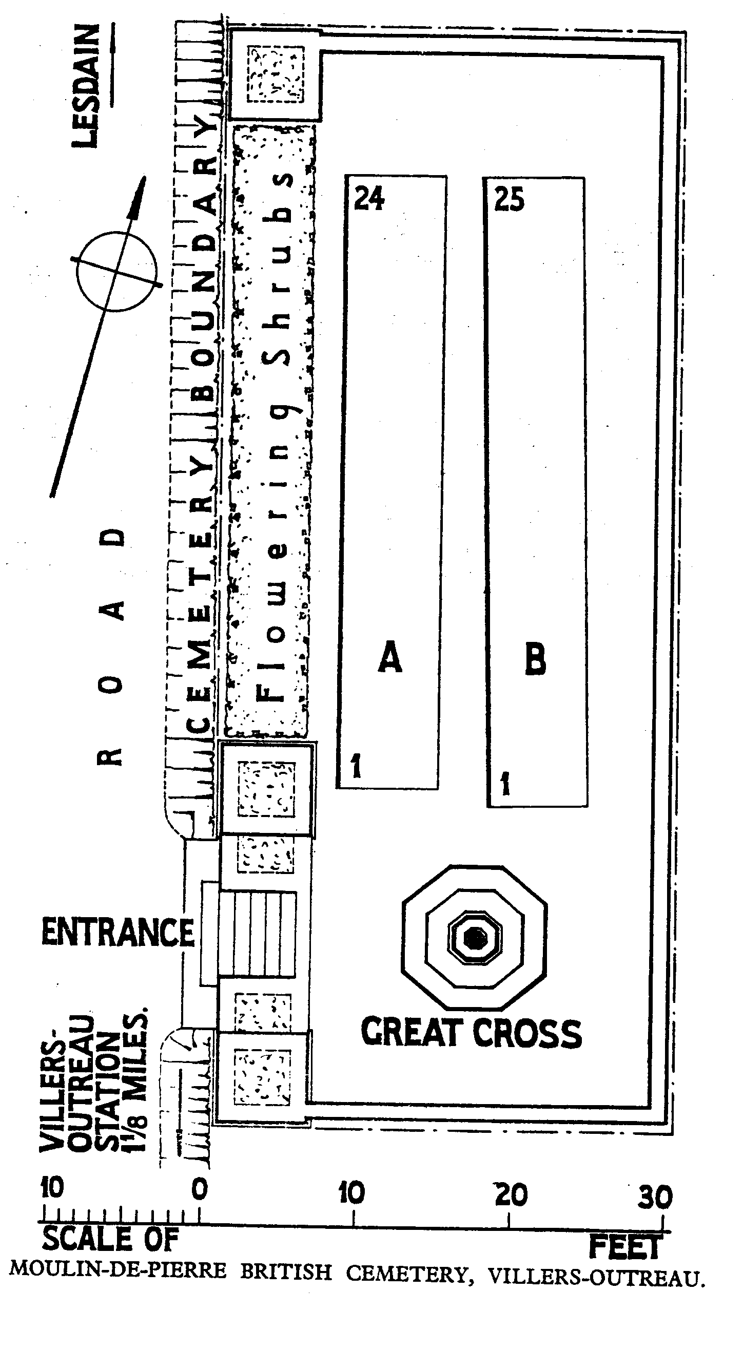
Villers Outreaux is a village situated in the western part of the Department of the Nord, just adjacent to its southern most border, 20 kilometres south of Cambrai. Moulin De Pierre British Cemetery is 3 kilometres north of Villers Outreaux and is built at the side of the D76, which connects Villers Outreaux with the village of Lesdain. The cemetery is signposted from near the village centre at the crossroads of the D76 and D16.
Visiting information
Wheelchair access with some difficulty. For further information regarding wheelchair access, please contact our Enquiries Section on telephone number 01628 507200.
History information
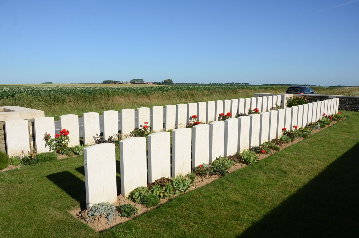
Villers-Outreau was cleared by the 38th (Welsh) Division and Tanks, after heavy fighting, on the 8th October, 1918. Moulin-de-Pierre British Cemetery is on the Chemin du Moulin-de-Pierre, a road going North from Villers-Outreau and passing a stone mill whose ruins were used as a German machine-gun emplacement. There are now nearly 50, 1914-18 war casualties commemorated in this site. All of whom fell on the 8th October, 1918. The Cemetery covers an area of 199 square metres and is enclosed by a stone rubble wall on three sides.