Wavrans-Sur-L'aa Churchyard
- Country France
- Total identified casualties 1 Find these casualties
- Region Pas de Calais
- Identified casualties from First World War
- GPS Coordinates Latitude: 50.68451, Longitude: 2.13894
Location information
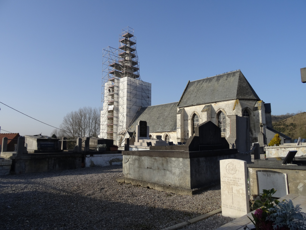
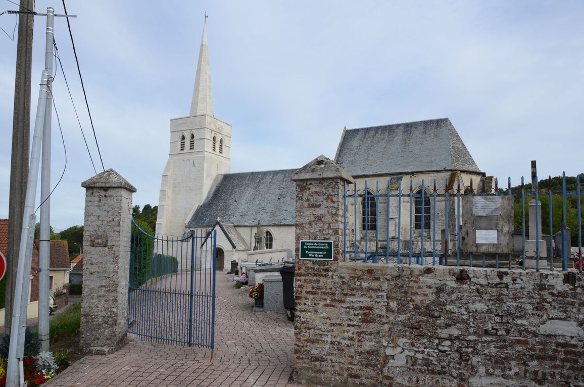
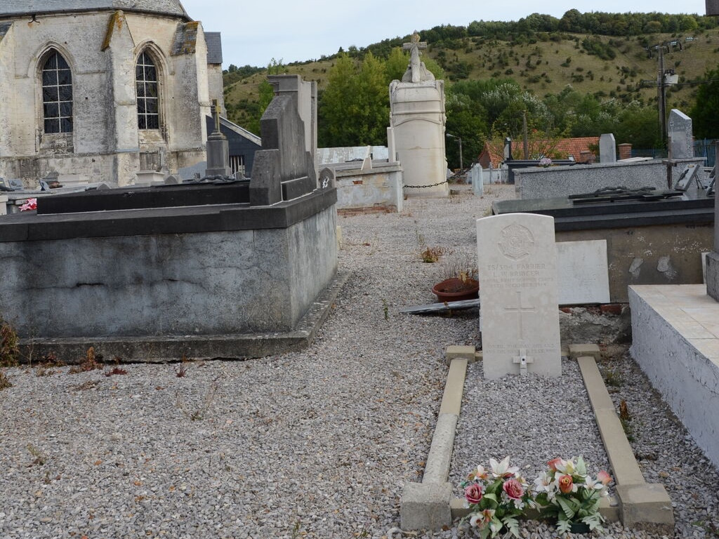
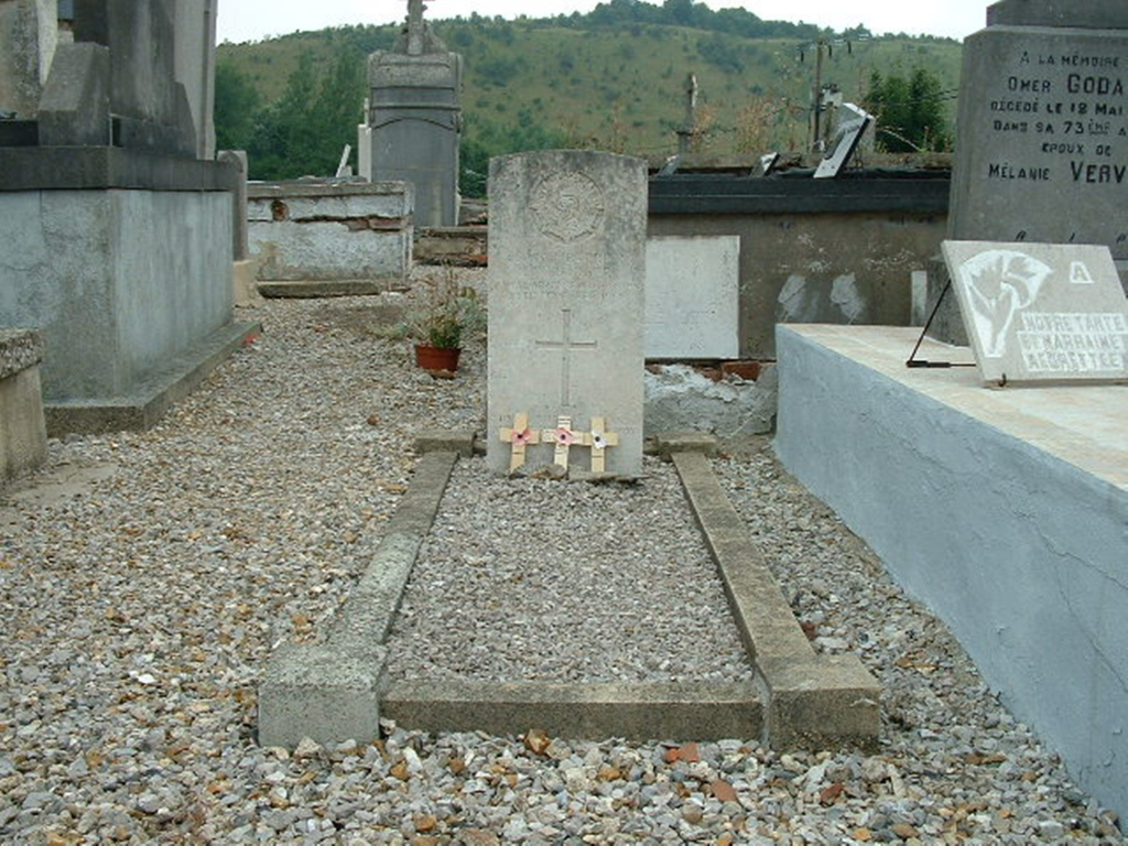
Wavrans sur l'Aa is a small village in the Department of Pas de Calais some 20 kilometres south-west of St Omer and some 3.5 kilometres south-south-east of Lumbres on the D192. The cemetery is in the centre of the village, and the Commonwealth war grave is in the south-east part of the churchyard on the right hand of the main entrance.
History information
Wavrans-sur-l'Aa Churchyard contains one Commonwealth burial of the First World War.