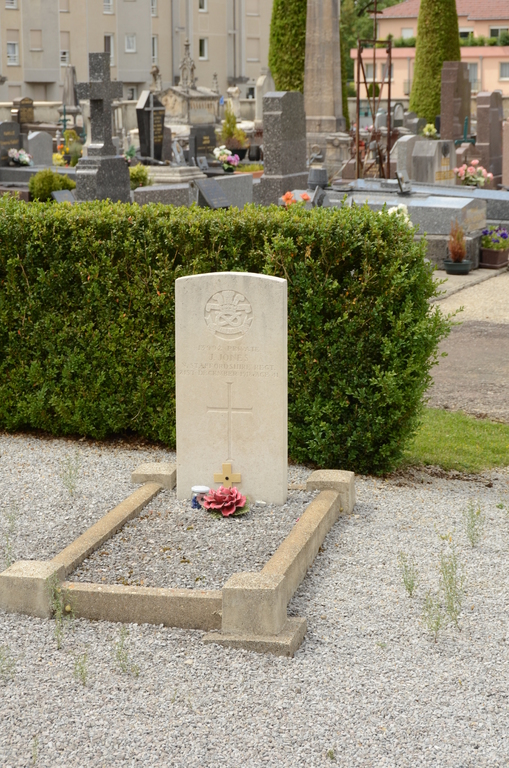
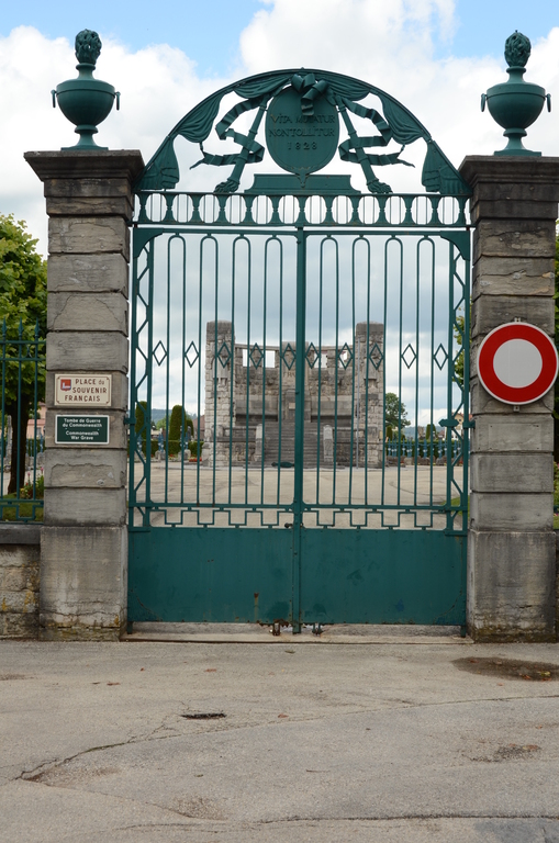
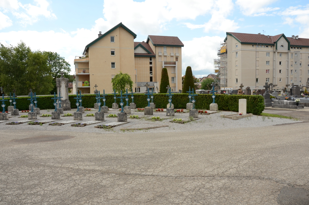
Pontarlier Communal Cemetery
- Country France
- Total identified casualties 1 Find these casualties
- Region Doubs
- Identified casualties from First World War
- GPS Coordinates Latitude: 46.90999, Longitude: 6.35544
Location information
Pontarlier is a town 59 kilometres south-east of Besancon. From the centre of Pontarlier (Centre Ville), head north taking the direction "Places des Casernes" (also called "Place Jules Panier"). After passing over the Doubs river bridge, the cemetery can be found between the Rue de Doubs and the Rue de Morteau. The single Commission war graves is near the entrance of the French War Graves Plot.