Rambouillet Communal Cemetery
- Country France
- Total identified casualties 3 Find these casualties
- Region Yvelines
- Identified casualties from First & Second World War
- GPS Coordinates Latitude: 48.63874, Longitude: 1.8278
Location information
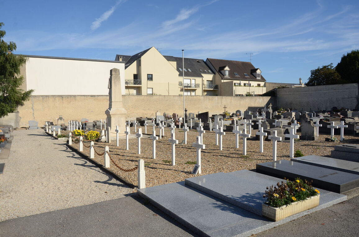
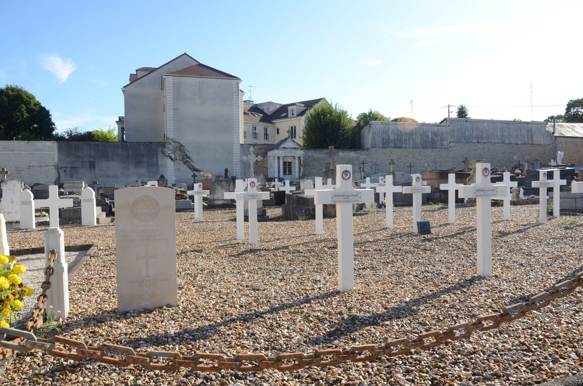
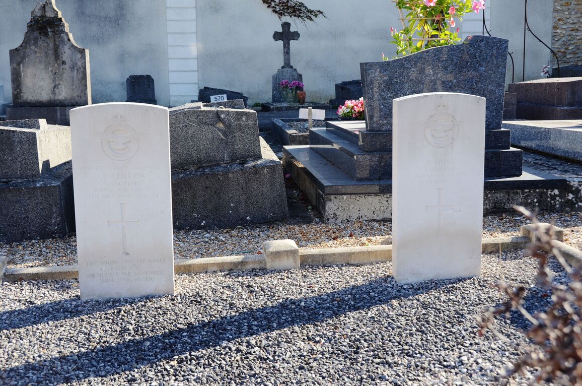
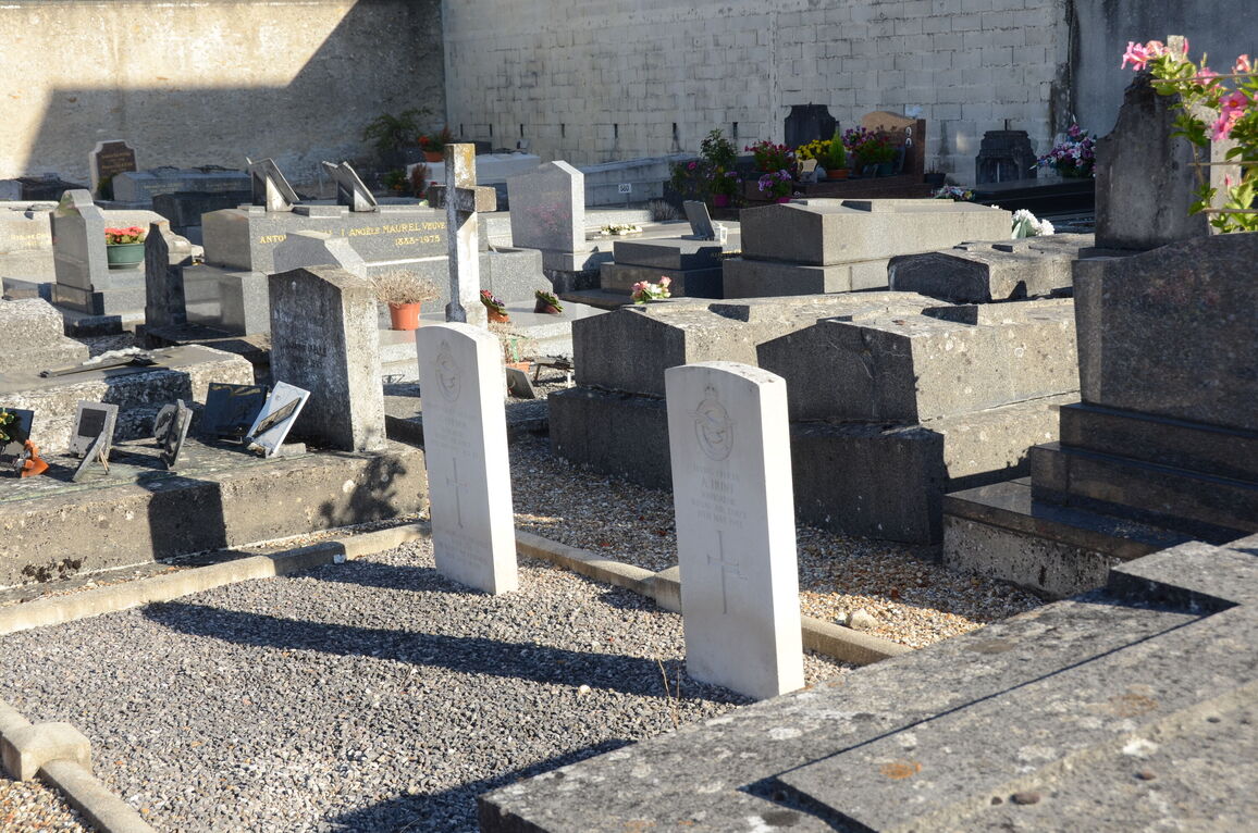
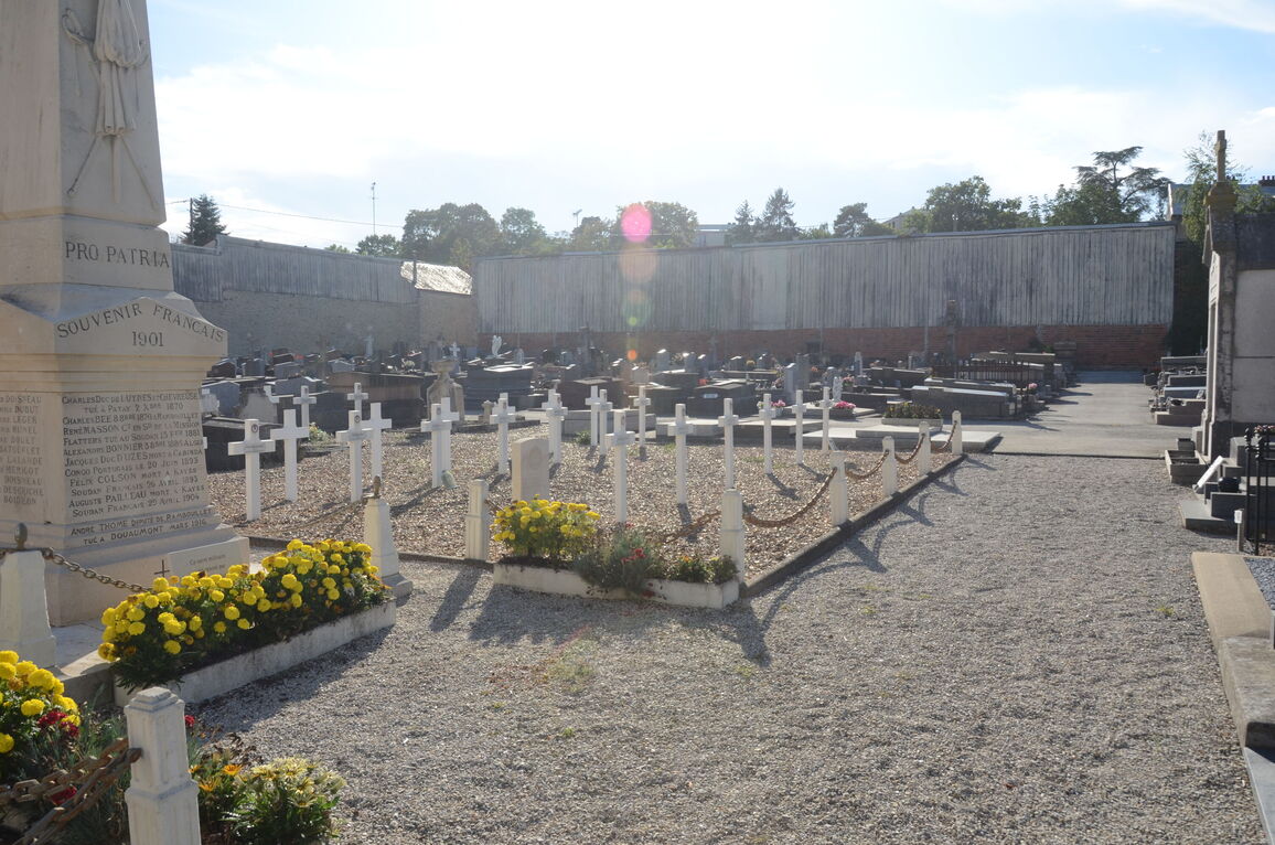
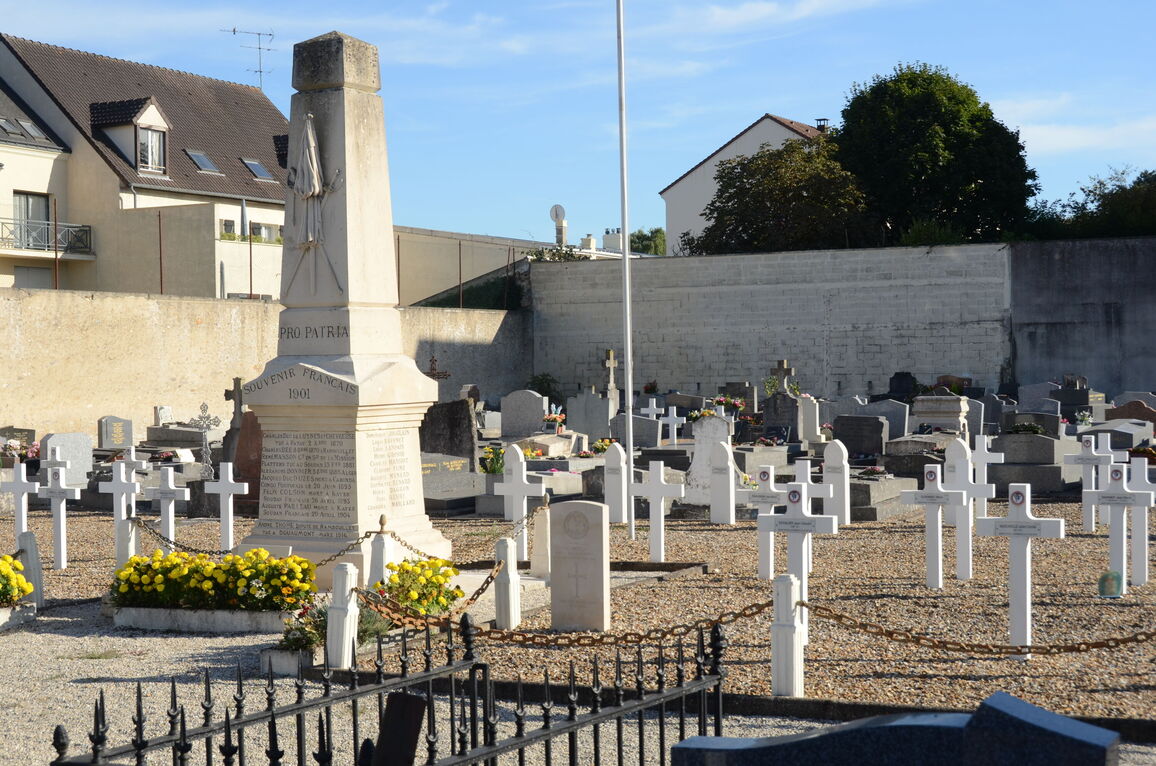
Rambouillet is a town some 32 kilometres by road south-west of Versailles. The cemetery lies on the southern side of the town at the junction of the Rue G Lenotre and Rue de la Garenne. The 1914-1918 Commonwealth war grave is in the French Military Plot, close to a Memorial of 1901. The 1939-1945 Commonwealth war graves of two British airmen are in the south-east corner of the cemetery, some 20 metres to the rear of the 1914-1918 war grave.