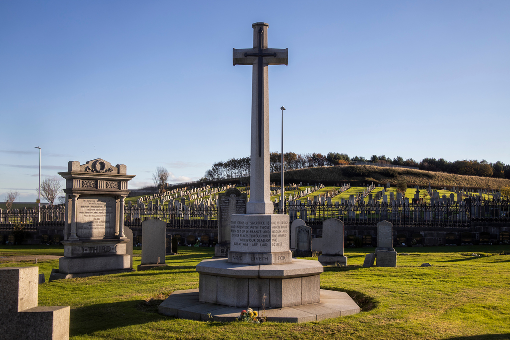
Aberdeen (Trinity) Cemetery
- Country United Kingdom
- Total identified casualties 199 Find these casualties
- Region Aberdeenshire
- Identified casualties from First & Second World War
- GPS Coordinates Latitude: 57.15703, Longitude: -2.09188
Our War Graves, Your History
Discover more about the history of Aberdeen (Trinity) Cemetery and plan a visit through our Our War Graves, Your History project.
Aberdeen (Trinity) Cemetery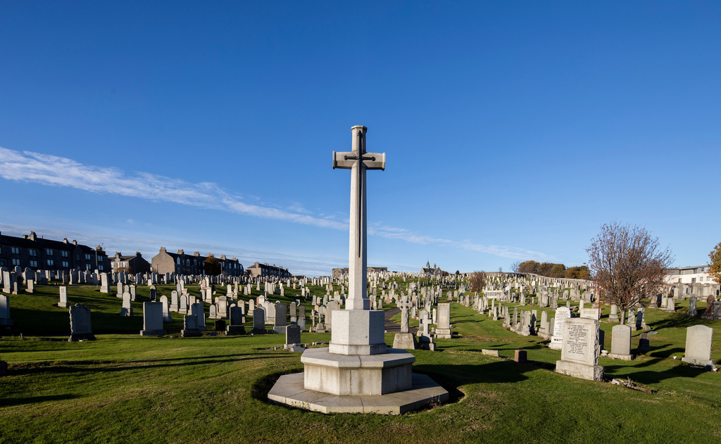
Location information
Aberdeen (Trinity) Cemetery and Broadhill Extension are on either side of Park Road, north of the city centre. Park Road is close to the esplanade and runs past Aberdeen city football ground. The entrances to the cemeteries are on opposite sides of Park Road, south of the football ground. This can be a busy road so some care is required when parking or crossing this road. It is possible to park inside Trinity Cemetery.
History information
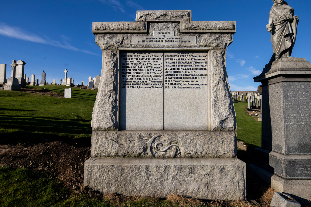
First World War graves specified as (SP) in the entries are in a special Military Plot in Section I., those specified as (CMP) are in a Naval Plot in Section F, those specified as (CG) are in common ground in Section N and the remainder are scattered private graves in the cemetery.
Second World War graves are scattered throughout the cemetery.
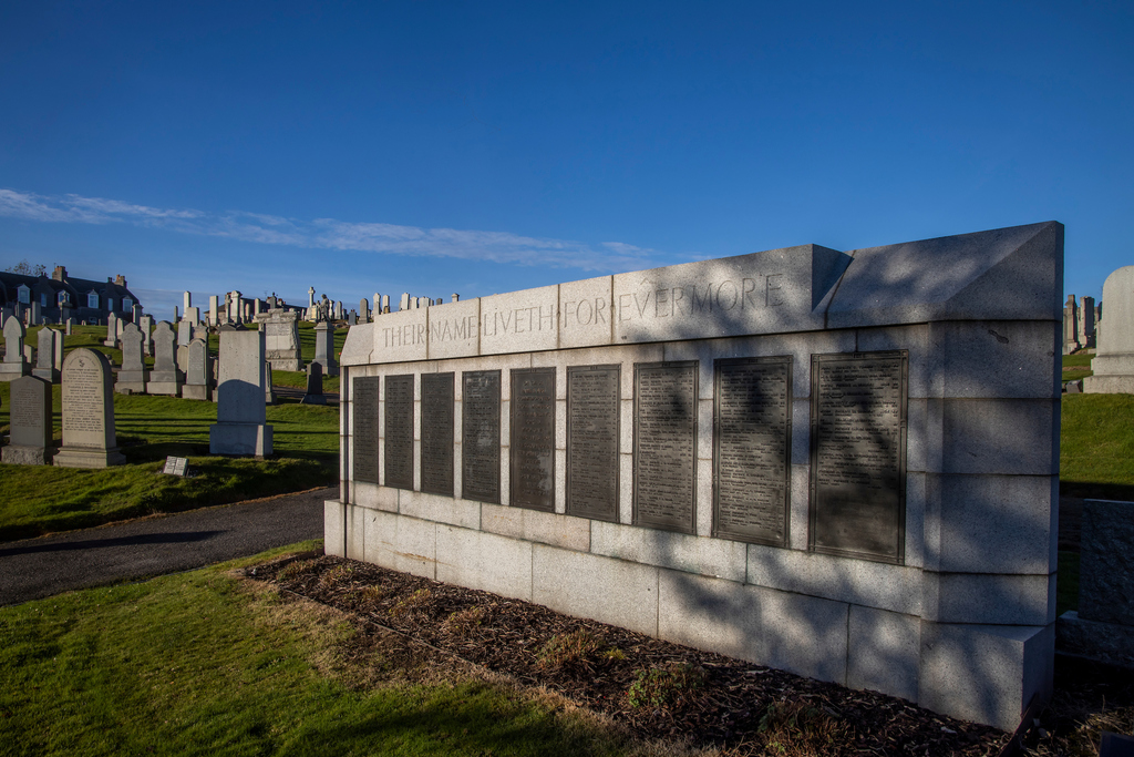
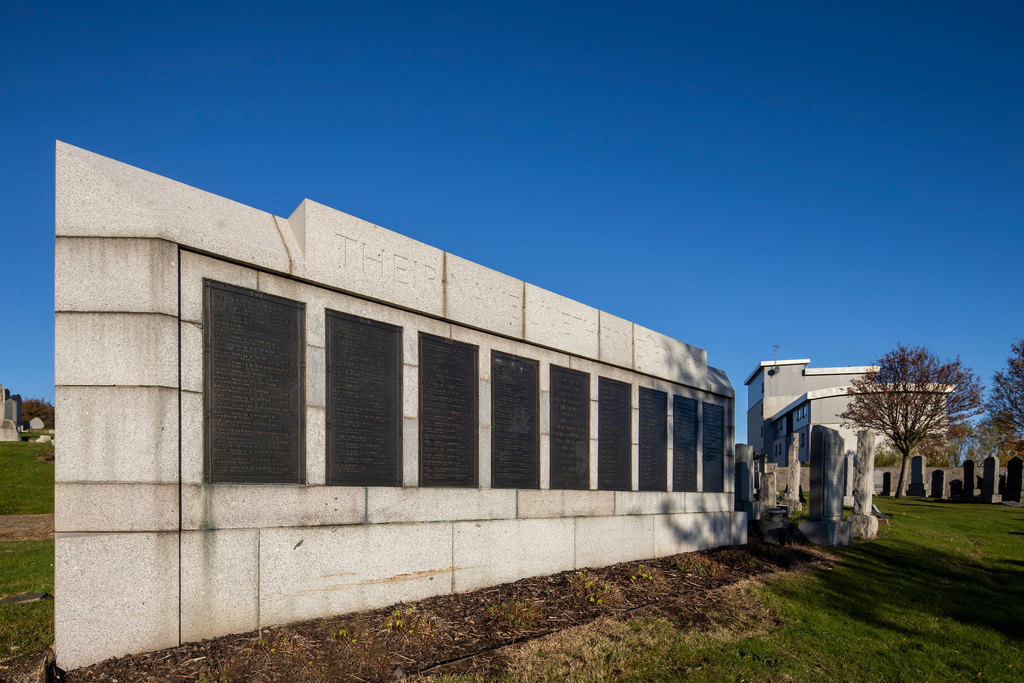
The cemetery contains a Screen Wall upon which are inscribed the particulars of all the First World War graves in the cemetery.
There are around 170 burials of the First World War (including 1 unidentified sailor of the Royal Navy in F.3. 554(CMP)), and around 30 burials of the Second World War. In addition there is 1 Non World War burial.