Montrose (Sleepyhillock) Cemetery
- Country United Kingdom
- Total identified casualties 132 Find these casualties
- Region Angus
- Identified casualties from First & Second World War
- GPS Coordinates Latitude: 56.72251, Longitude: -2.48492
Location information
Montrose Sleepyhillock Cemetery lies to the north-west of the town centre. It overlooks Montrose Basin, a natural nature reserve. If travelling by road from Dundee (on the A92) continue on this road through Montrose until the junction with the Brechin road (the A935). Take the A935 and the cemetery entrance will be found on the left hand side of this road, after half a mile (signposted as Funeral Parking).
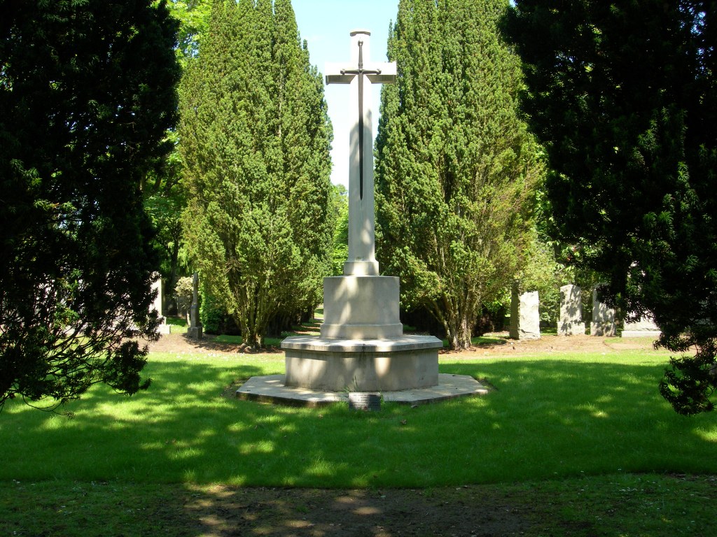
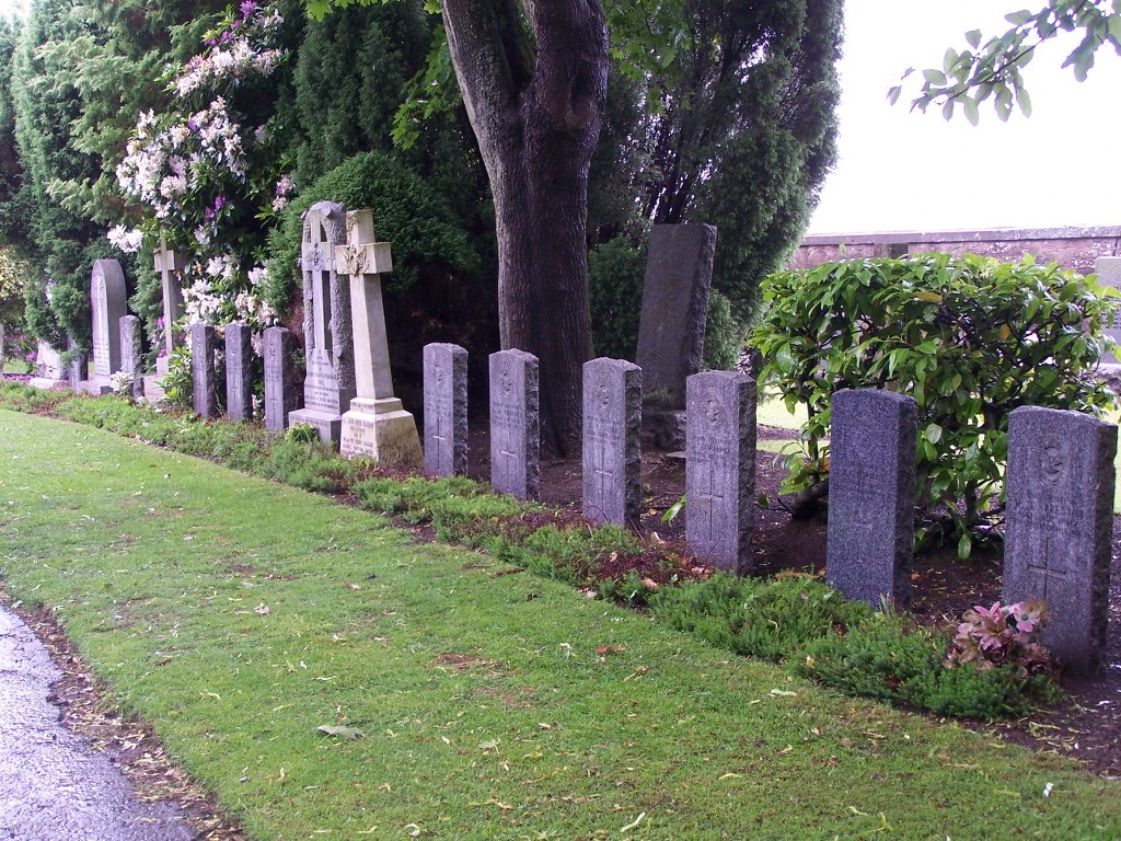
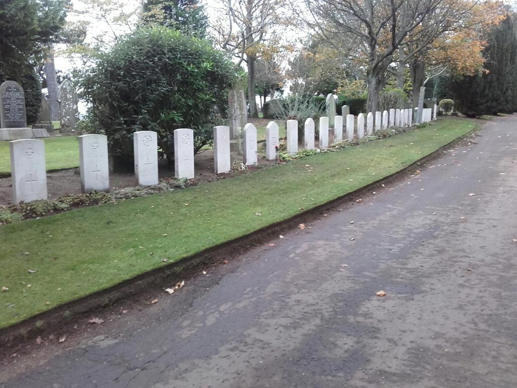
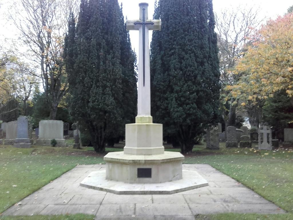
History information
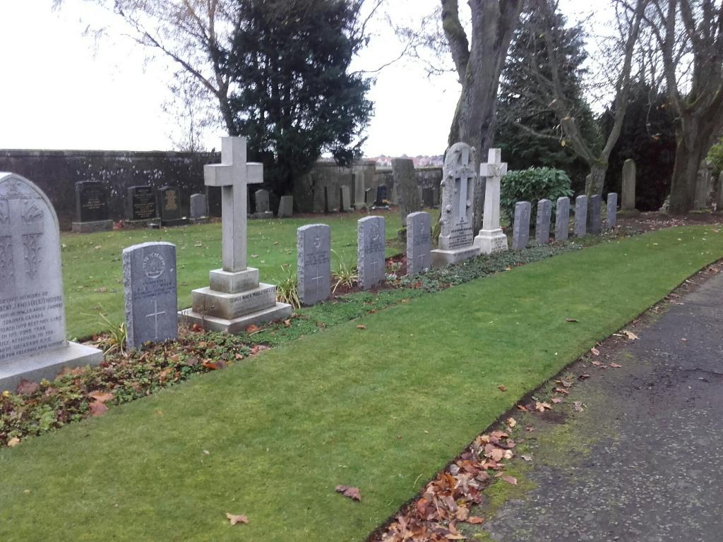
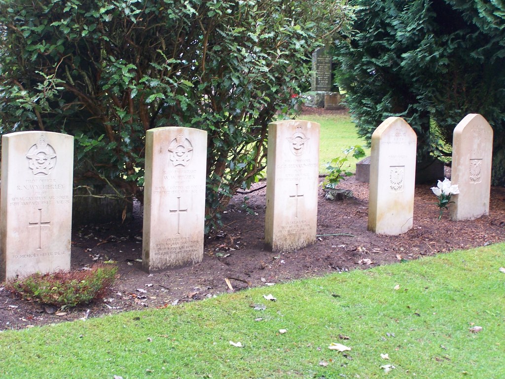
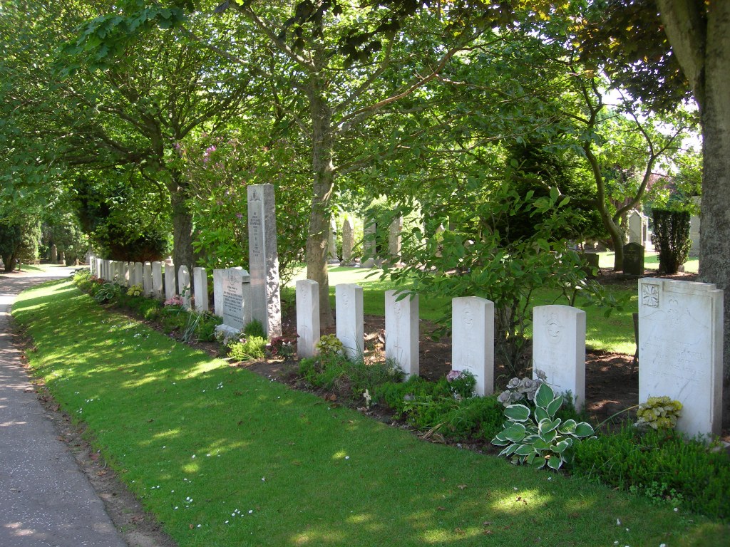
The cemetery contains service plots of both wars here (the majority of which are 1939-1945). Most of these graves are of airmen and there is a special RAF plot in the south-eastern part of the cemetery, near the lodge. South of the north gate is an all services plot.
There are now nearly 40, 1914-1918 and nearly 100, 1939-1945 War casualties commemorated in this site.