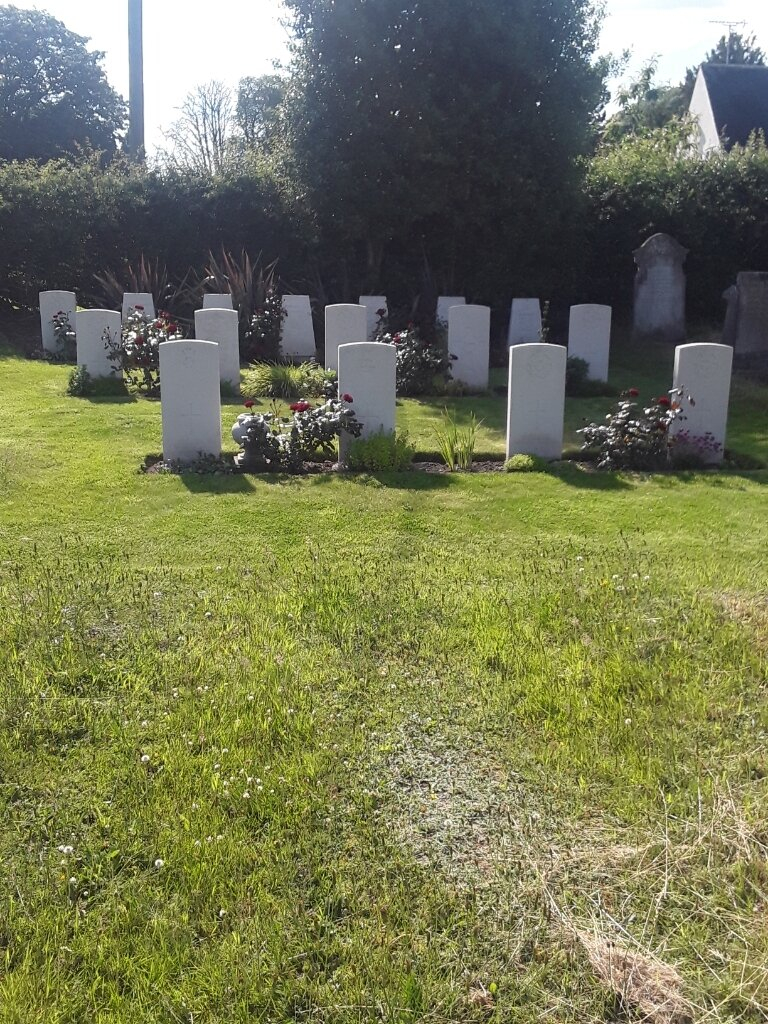
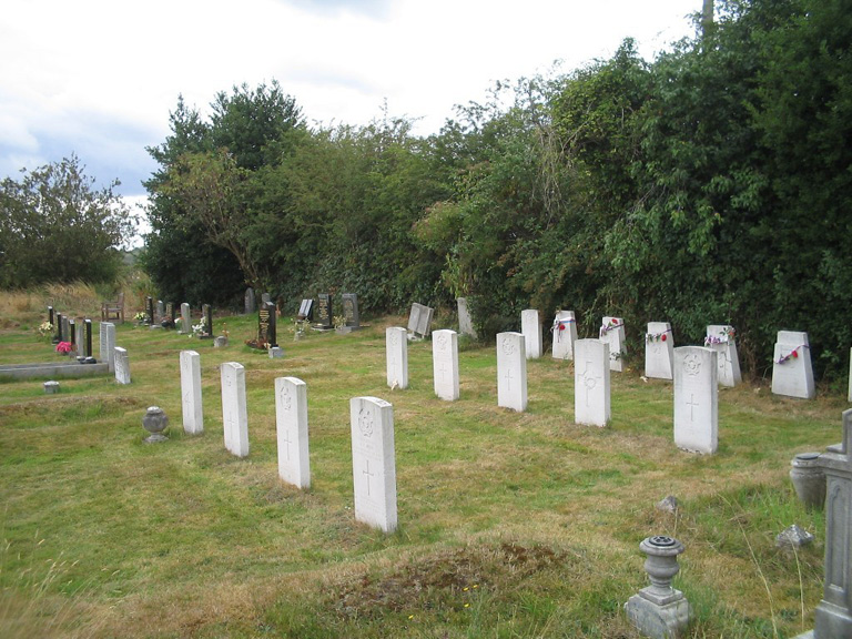
Scropton (St. Paul) Churchyard And Extension
- Country United Kingdom
- Total identified casualties 17 Find these casualties
- Region Derbyshire
- Identified casualties from First & Second World War
- GPS Coordinates Latitude: 52.86904, Longitude: -1.71534
Visiting information
Please note, the extension is a short walk east of the churchyard along the Scropton Road.