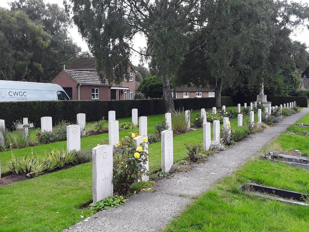
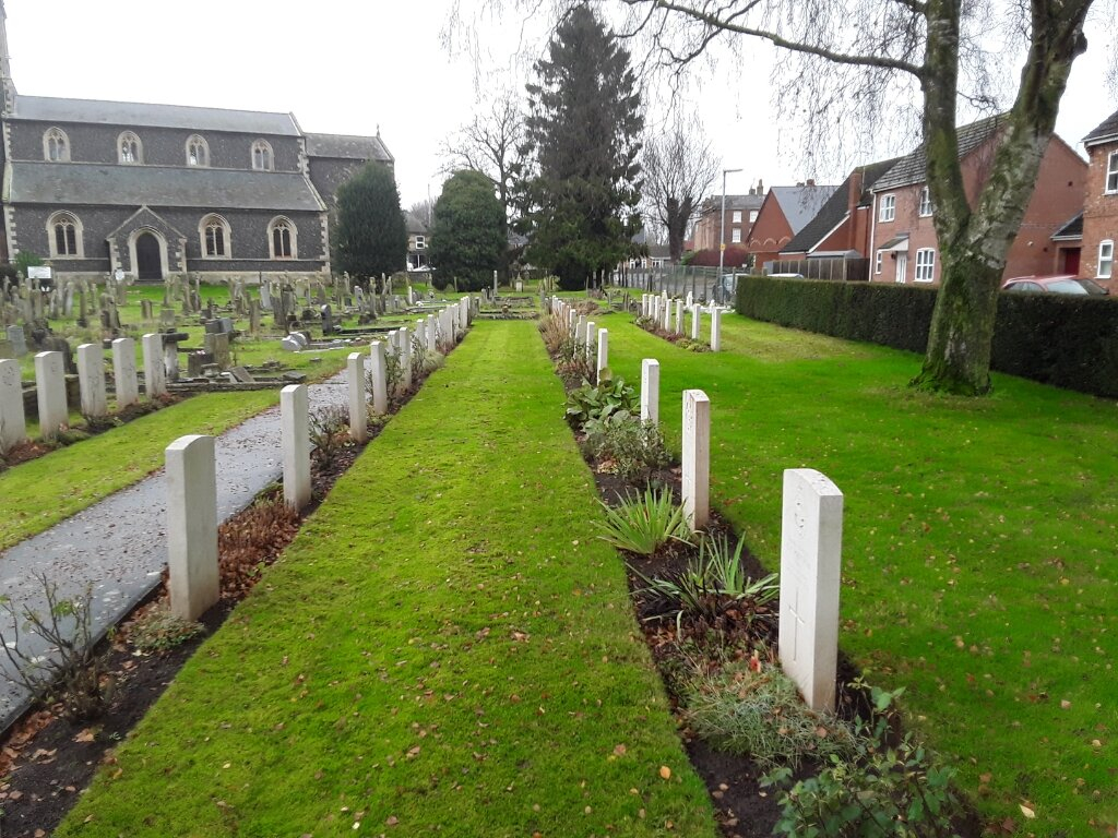
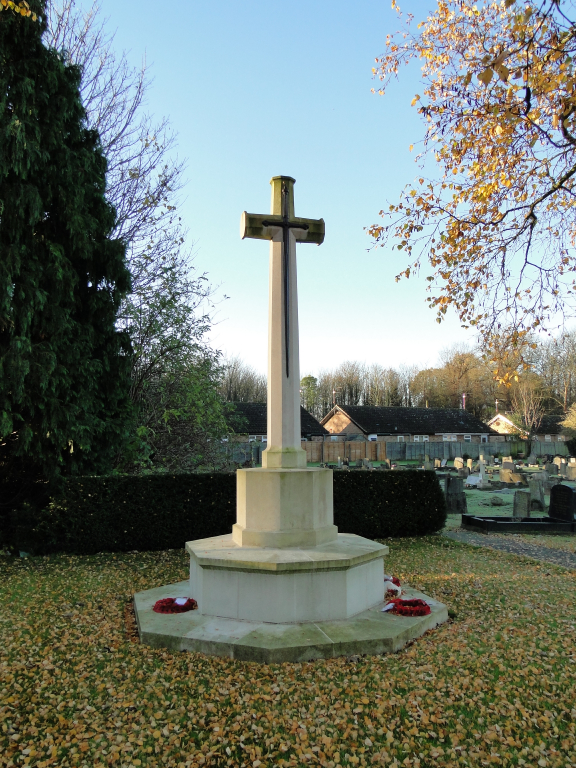
Sutton Bridge (St. Matthew) Churchyard
- Country United Kingdom
- Total identified casualties 60 Find these casualties
- Region Lincolnshire
- Identified casualties from First & Second World War
- GPS Coordinates Latitude: 52.76851, Longitude: 0.19027
History information
Sutton Bridge was a Royal Air Force station during the Second World War and there was a prisoner-of-war camp at Spalding. Most of the Second World War burials are in a plot in the south-eastern corner, the rest are scattered in various parts of the churchyard. Sutton Bridge (St Matthew) Churchyard contains three Commonwealth burials of the First World War and 54 from the Second. There are also four war graves of other nationalities.