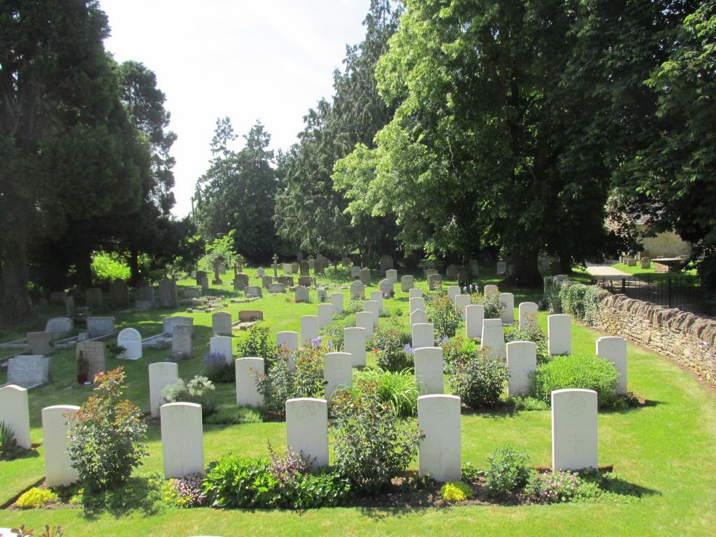
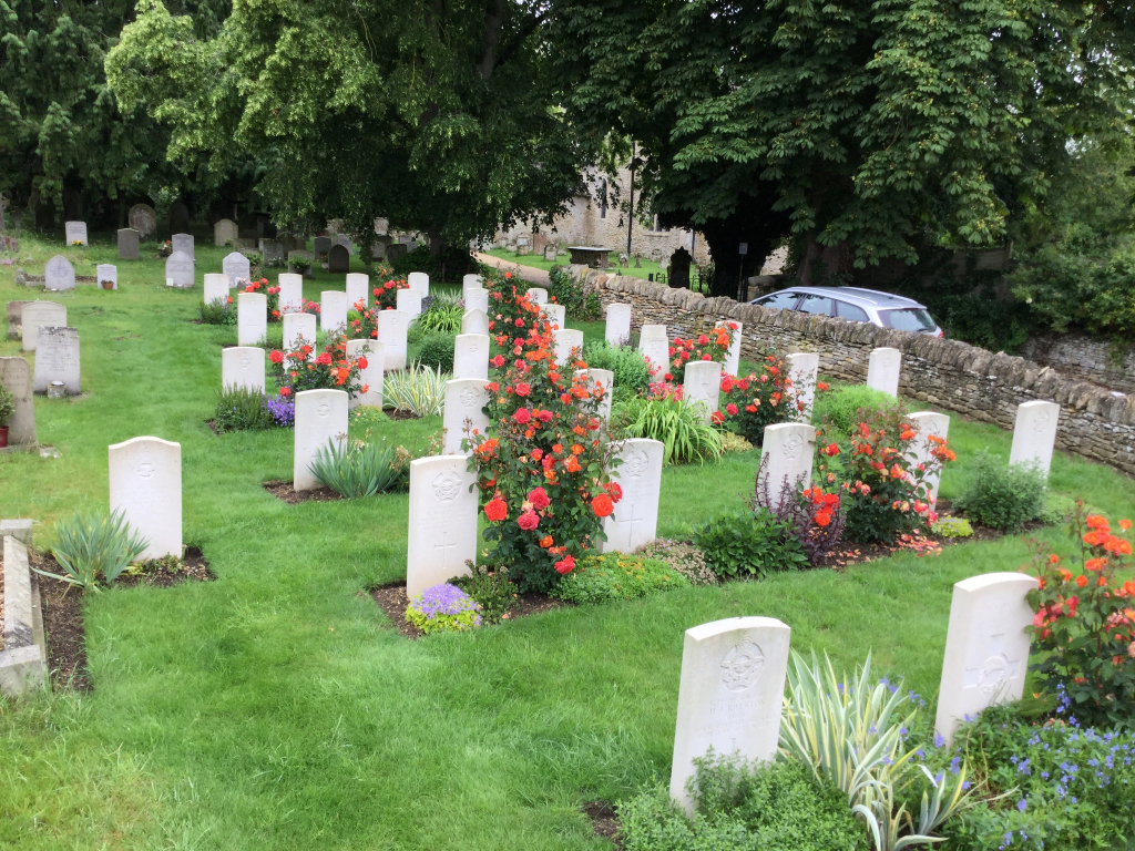
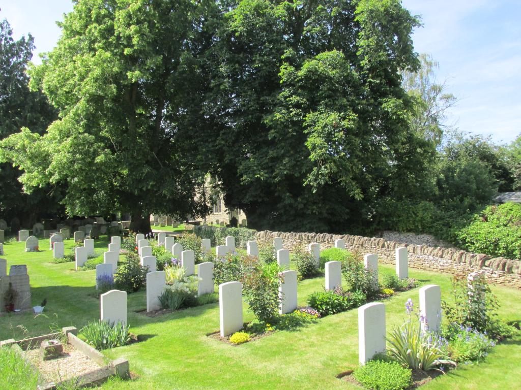
Black Bourton (St. Mary) Churchyard
- Country United Kingdom
- Total identified casualties 32 Find these casualties
- Region Oxfordshire
- Identified casualties from First & Second World War
- GPS Coordinates Latitude: 51.73587, Longitude: -1.58594
History information
During the 1939-1945 War, the churchyard was used by the R.A.F. Station at Brize Norton, approximately 5 miles away, and most of the war graves are those of airmen. They are together in a group immediately to the left of the entrance. The other graves are elsewhere in the churchyard.