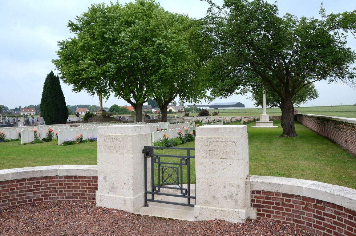
Doingt Communal Cemetery Extension
- Country France
- Total identified casualties 418 Find these casualties
- Region Somme
- Identified casualties from First & Second World War
- GPS Coordinates Latitude: 49.9233, Longitude: 2.96962
Location information
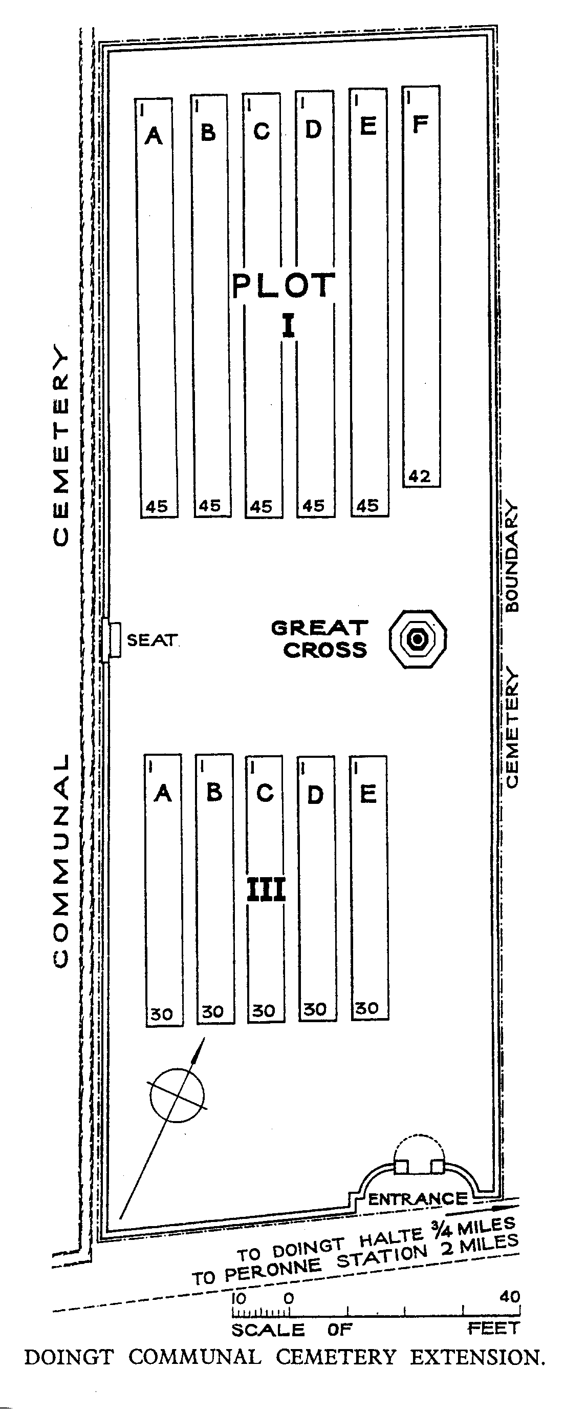
Doingt is a small village on the eastern outskirts of Peronne, on the left hand side of the D44 road to Ham and St. Quentin. The Cemetery is signposted from the centre of the village on the D199 road (towards Tincourt) and is situated behind the Communal Cemetery, which is to the left of the church.
History information
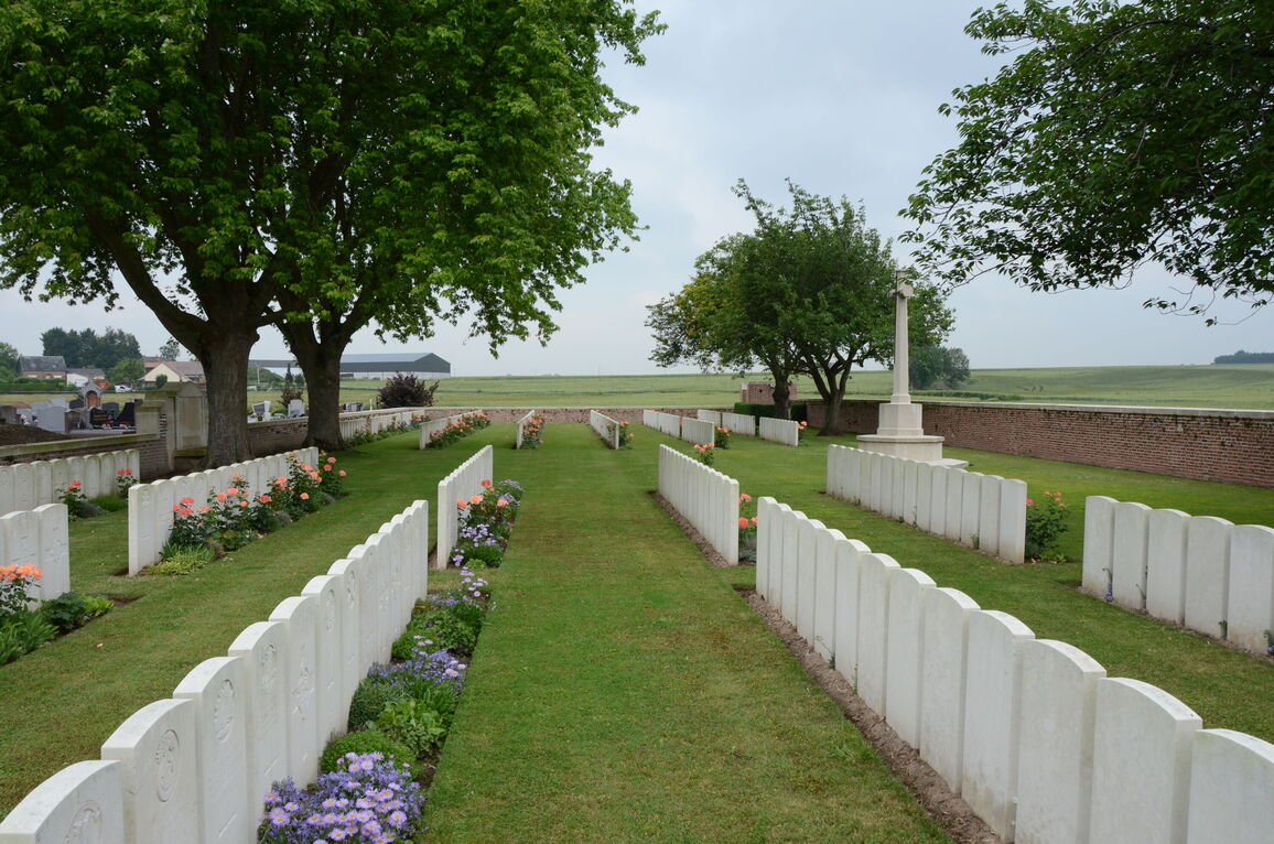
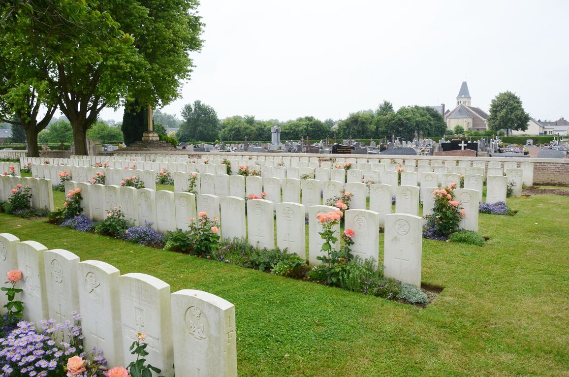
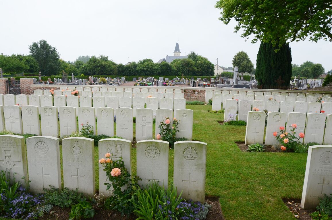
Doingt was captured by the 5th Australian Division on 5 September 1918, and the village was completely destroyed in the fighting. In the same month, the 20th, 41st and 55th Casualty Clearing Stations arrived, remaining until October, when the cemetery was closed. It was made in three plots; Plot I contained only Commonwealth graves, Plot II only American, and Plot III the graves of both armies. The American graves were later removed by the American Graves Registration Services. Doingt Communal Cemetery Extension contains 417 Commonwealth burials of the First World War, 1 being unidentified, and two burials from the Second World War. The extension was designed by Sir Herbert Baker.