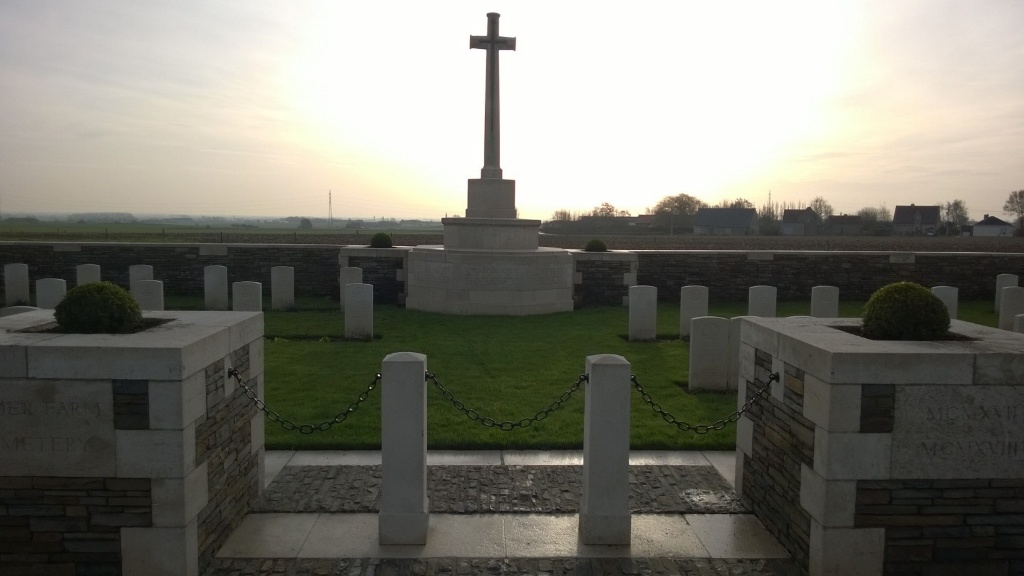
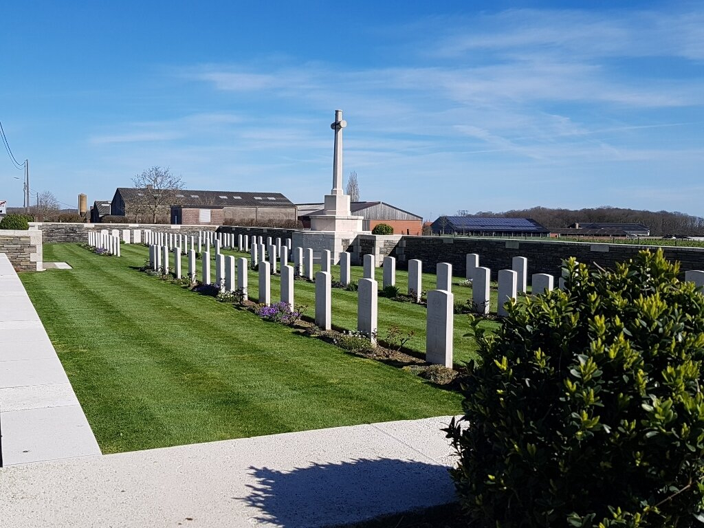
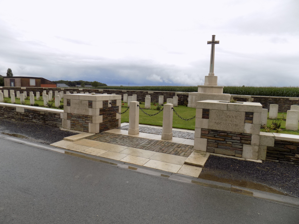
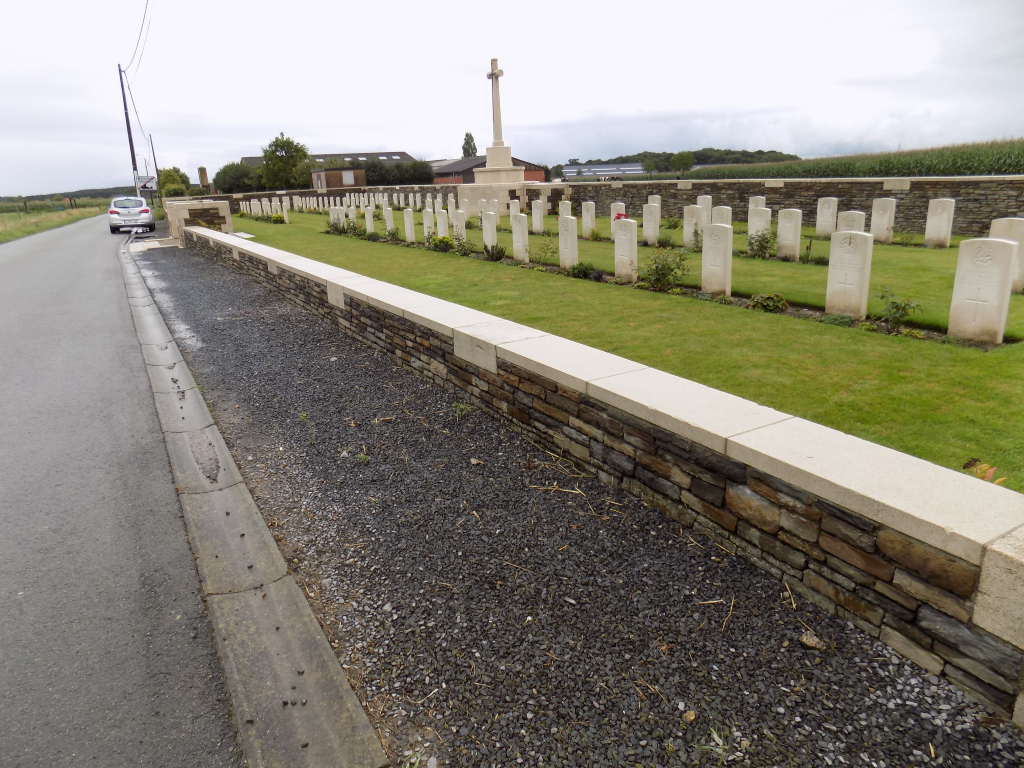
Somer Farm Cemetery
- Country Belgium
- Total identified casualties 90 Find these casualties
- Region West-Vlaanderen
- Identified casualties from First World War
- GPS Coordinates Latitude: 50.79053, Longitude: 2.88969
Location information
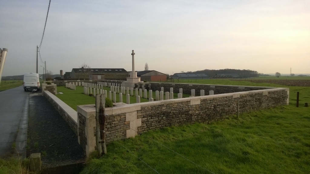
Somer Farm Cemetery is located 6.5 Kms south of Ieper town centre on the Hollebekestraat, a road leading from the Rijselseweg (N365), connecting Ieper to Wijtschate and on to Armentieres. From Ieper town centre the Rijselsestraat runs from the market square, through the Lille Gate (Rijselpoort) and directly over the crossroads with the Ieper ring road. The road name then changes to the Rijselseweg. On reaching the village of Wijtschate, Hollebekestraat is reached by turning left from the N365. The cemetery itself is located 70 metres along the Hollebekestraat on the right hand side of the road.
Visiting information
Wheelchair access is possible via the main entrance.
For further information regarding wheelchair access, please contact our Enquiries Department on telephone number: 01628 634221
History information
Wytschaete (now Wijtschate) was taken by the Germans early in November 1914. It was recovered by Commonwealth forces during the Battle of Messines on 7 June 1917, but fell into German hands once more on 16 April 1918. The village was recovered for the last time on 28 September.
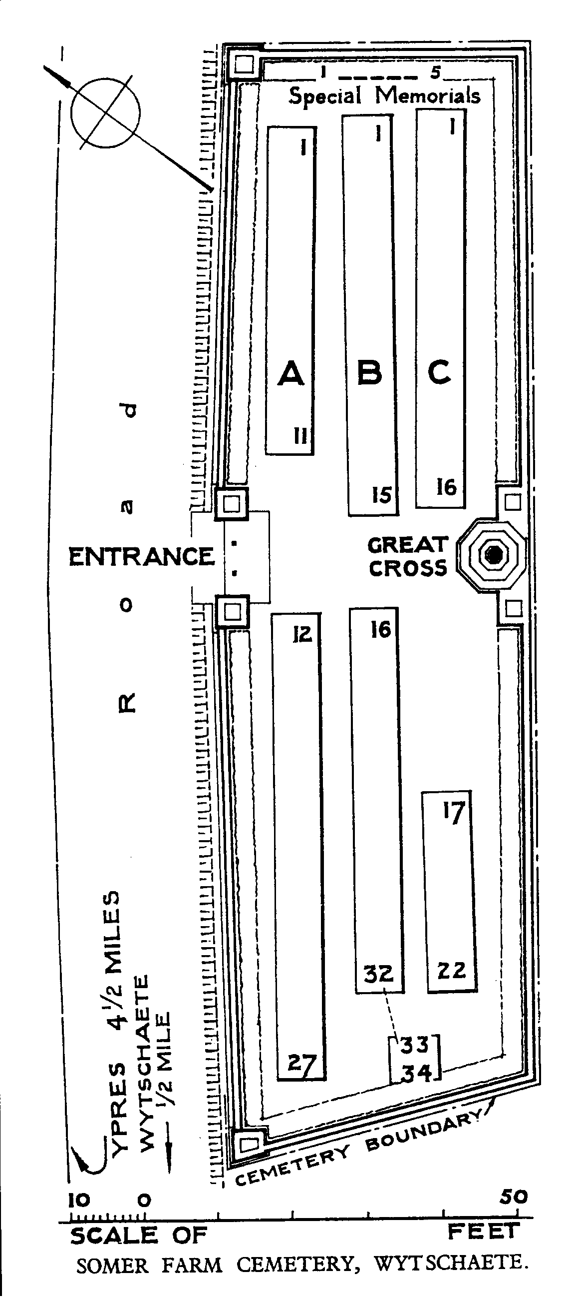
Somer Farm Cemetery (also known as Somer Farm Cemetery No.1 - the burials in Somer Farm No.2 were removed to Wytschaete Military Cemetery) was begun in June 1917. It was used until March 1918 and again in October 1918.
The cemetery contains 91 First World War burials.
The cemetery was designed by W H Cowlishaw.