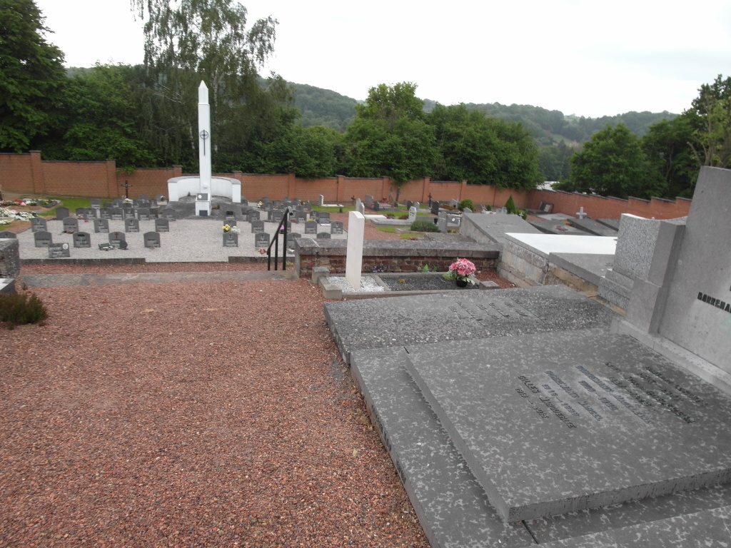
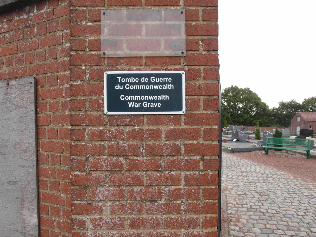
Bousval Communal Cemetery
- Country Belgium
- Total identified casualties 1 Find these casualties
- Region Brabant Wallon
- Identified casualties from First World War
- GPS Coordinates Latitude: 50.61908, Longitude: 4.51127
Location information
The village of Bousval is situated to the east of Nivelles on the N237, which runs between Wavre and Nivelles. From the E19/A7 motorway turn off at Junction 19 (Nivelles-Sud). Take the second part of this turnoff under the bridge and follow the N27 in the direction of Nivelles. Within 200 metres is the crossroads with the R24. Turn right onto the R24 and continue along this road in the direction of Genappe. After the junction with the N93, the R24 changes to the N237. Continue straight on along the N237 through the town of Genappe and Bousval is the next village. On entering the village take the second turning on the left called Rue du Pont du Jour. Go past the church on your right and follow the road round to the right, at the fork bear right and the cemetery is along on the left. The Commonwealth grave is located through the main entrance and on the right by the steps.
History information
Bousval Communal Cemetery contains one Commonwealth burial of the First World War.