Courcelles Communal Cemetery
- Country Belgium
- Total identified casualties 1 Find these casualties
- Region Hainaut
- Identified casualties from First World War
- GPS Coordinates Latitude: 50.46065, Longitude: 4.35951
Location information
Courcelles is north-east of Charleroi on the N584. From the E42 motorway turn off at junction 17 direction Courcelles and follow this road to a T junction on the edge of town, at this junction turn right into rue de Binche and follow along to the second crossroads. At this junction turn left into rue de Trazegnies and then first right into rue du Cimetiere. The cemetery is along here. The graves are located to the left of the entrance. GPS Co-ordinates: Longitude 04°21'35", Latitude 50°27'38"
History information
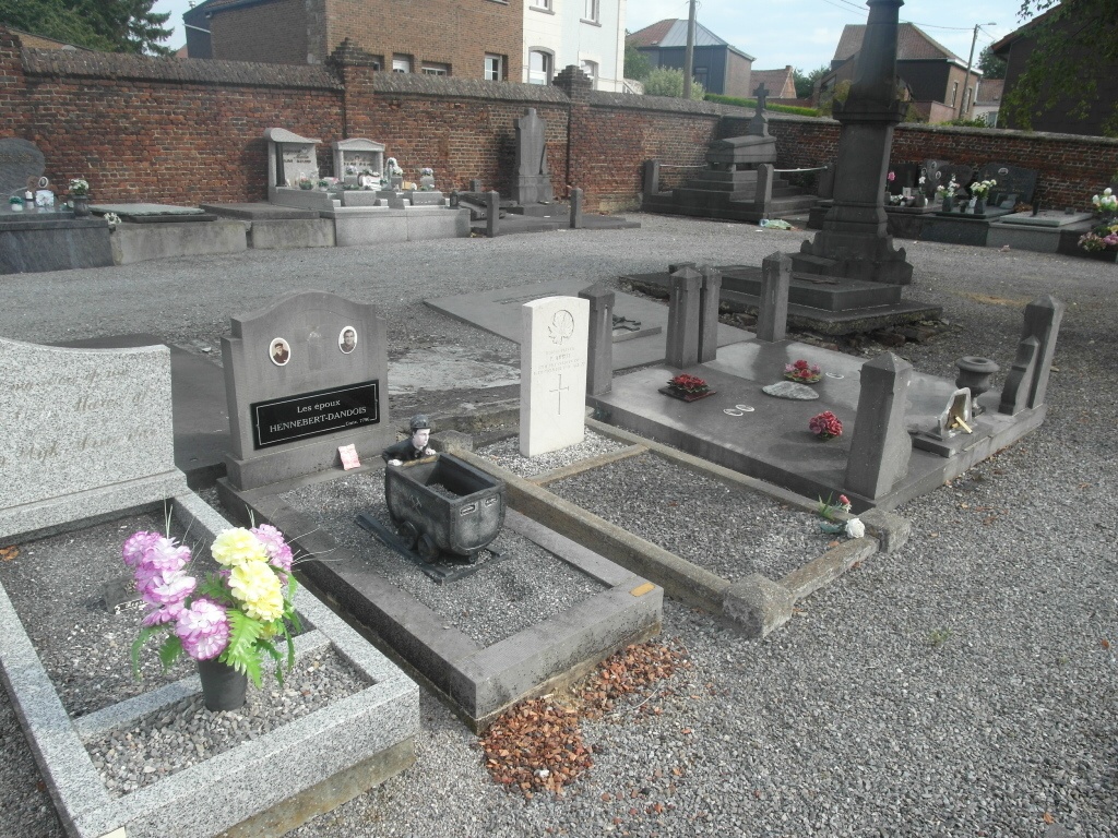
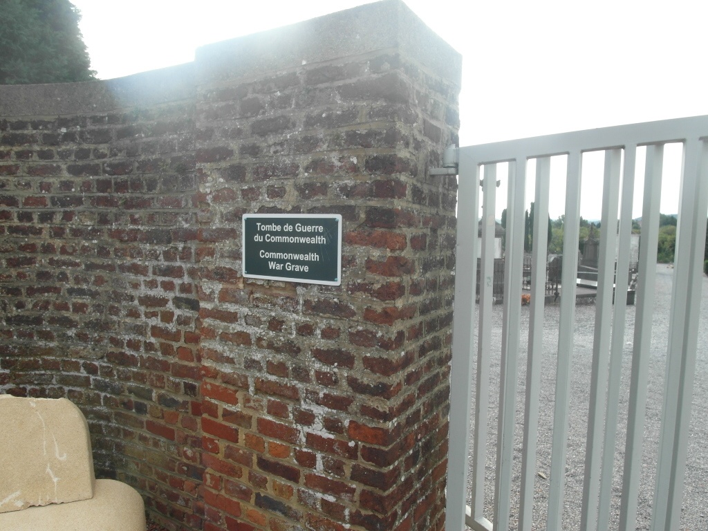
The one Canadian grave is near the North-East corner (left of the entrance), with three other War Graves.