Liege (Robermont) Cemetery
- Country Belgium
- Total identified casualties 47 Find these casualties
- Region Liege
- Identified casualties from First & Second World War
- GPS Coordinates Latitude: 50.63238, Longitude: 5.60543
Location information
From the motorway E40/A3, which runs between Brussels and Liege, turn off between junctions 35 and 36 onto the E25/A25. Follow this road along by the river to the junction with the N3 and turn onto the N3 in the direction Bressoux/Fleron - this road is called rue d' Amercoeur, then rue de Carmel, then rue de Robertmont and then rue de Herve. As the road name changes to rue de Herve the cemetery is on the left behind a tall brick wall. The Commonwealth war graves are located to the far right hand side of the cemetery. Go through the main entrance and follow the path directly ahead to the chapel, turn right here and follow this path straight on to the edge of the cemetery, bear left and the graves are in plot 163 on the left.
Visiting information
Please note that the Cemetery closes at 16.30 each day.
History information
Liege was attacked by the Germans on 4 August 1914. The city itself was occupied on the 7th but the last forts were not captured until the 16th. Liege remained in German hands until the end of the war.
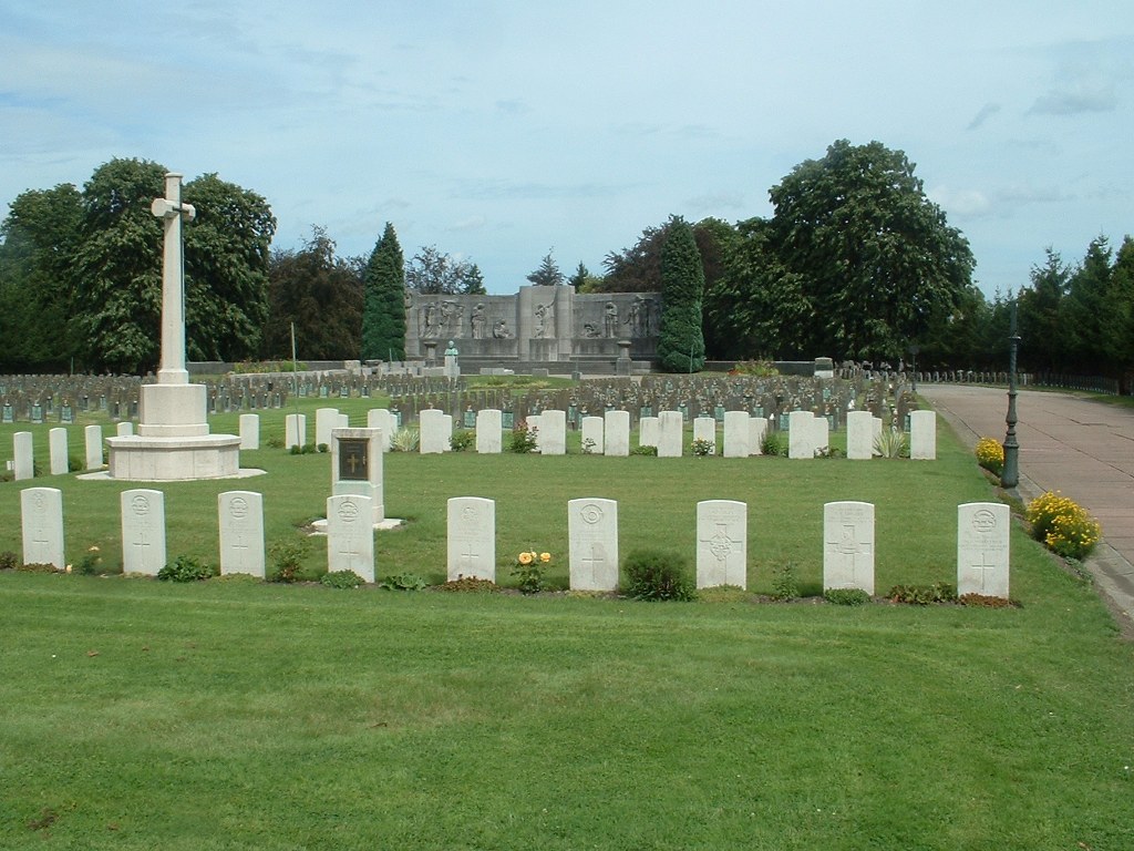
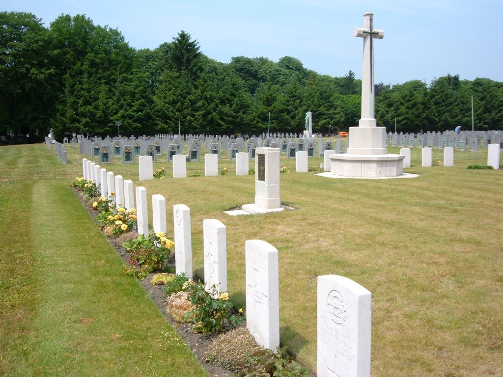
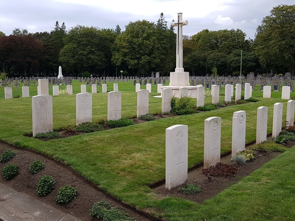
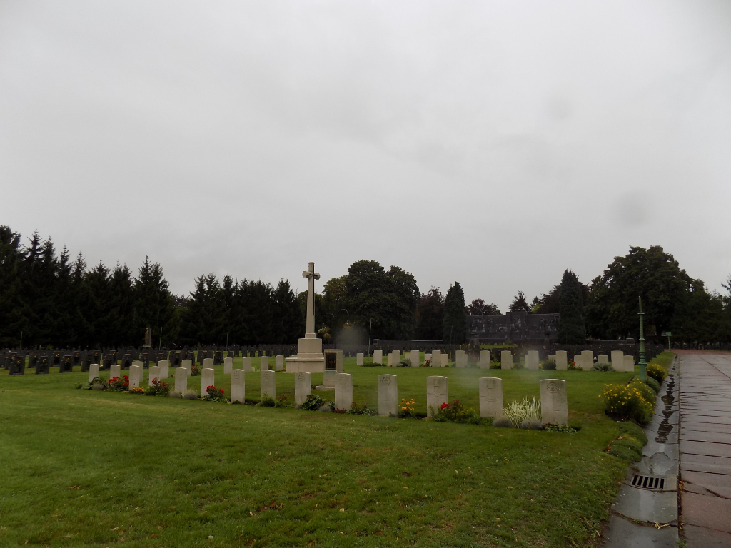
The city cemetery at Robermont was used for the burial of Allied prisoners of war and now contains French, Belgian, Italian, Russian and Commonwealth war graves plots.
The Commonwealth plot contains 50 burials of the First World War, and one from the Second World War(in additional one Belgian national, who flew with the RAF, is buried elsewhere in the cemetery).