Mont St. Andre Churchyard
- Country Belgium
- Total identified casualties 1 Find these casualties
- Region Brabant Wallon
- Identified casualties from First World War
- GPS Coordinates Latitude: 50.65491, Longitude: 4.86332
Location information
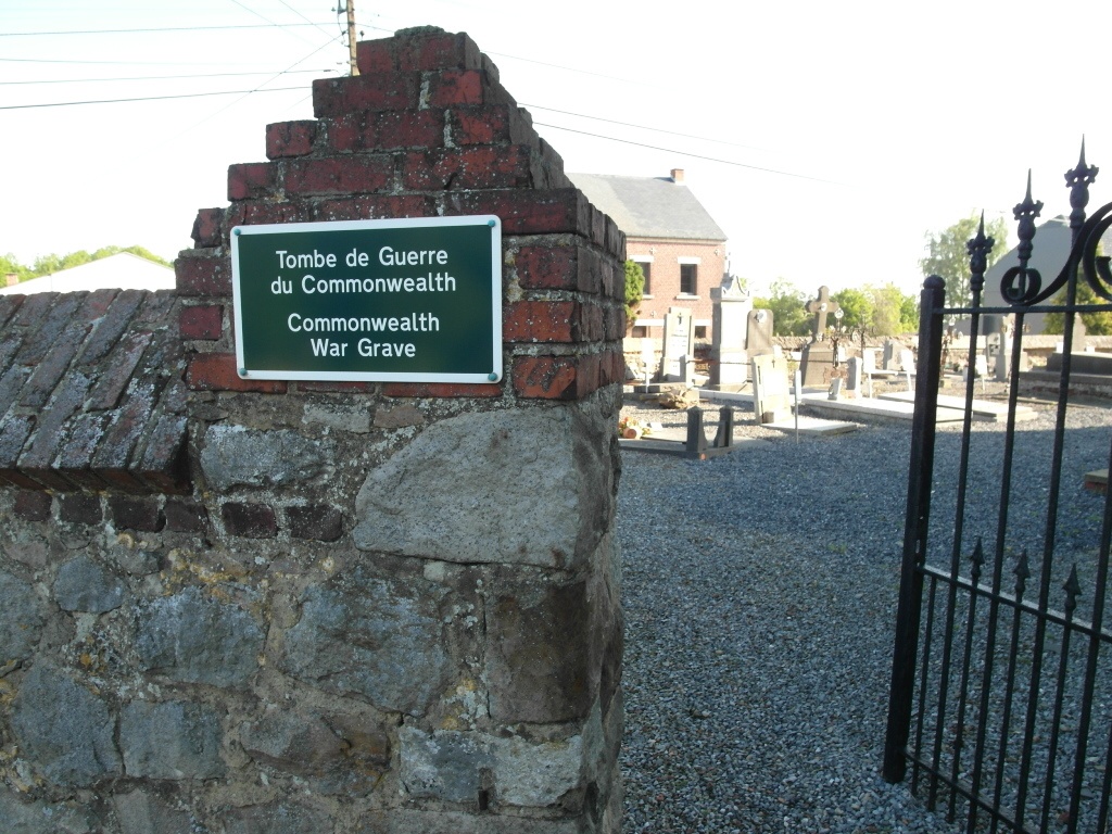
The village of Mont St. Andre is situated to the north-west of Ramillies off the N91 which runs between Namur and Louvain. From the motorway E411/A4, turn off at Junction 11, Thorembais-St-Trond, and take the N29 in the direction of Jodoigne. Follow the N29 to the junction with the N91. At this junction turn right onto the N29 in the direction of Namur. After a short distance there is a road to the left signed for Mont St. Andre, this road is called Rue Petit Wariche. Turn left here and follow the road into the village. The church is on the left in the centre of the village and the Commonwealth graves are located at the rear of the church.
History information
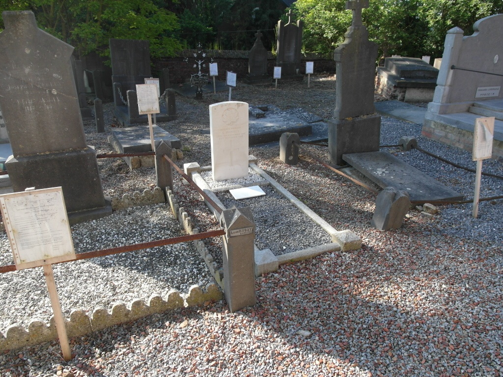
Mont St. Andre Churchyard contains one Commonwealth burial of the First World War.