Auvelais New Communal Cemetery
- Country Belgium
- Total identified casualties 1 Find these casualties
- Region Namur
- Identified casualties from First World War
- GPS Coordinates Latitude: 50.43933, Longitude: 4.62722
Location information
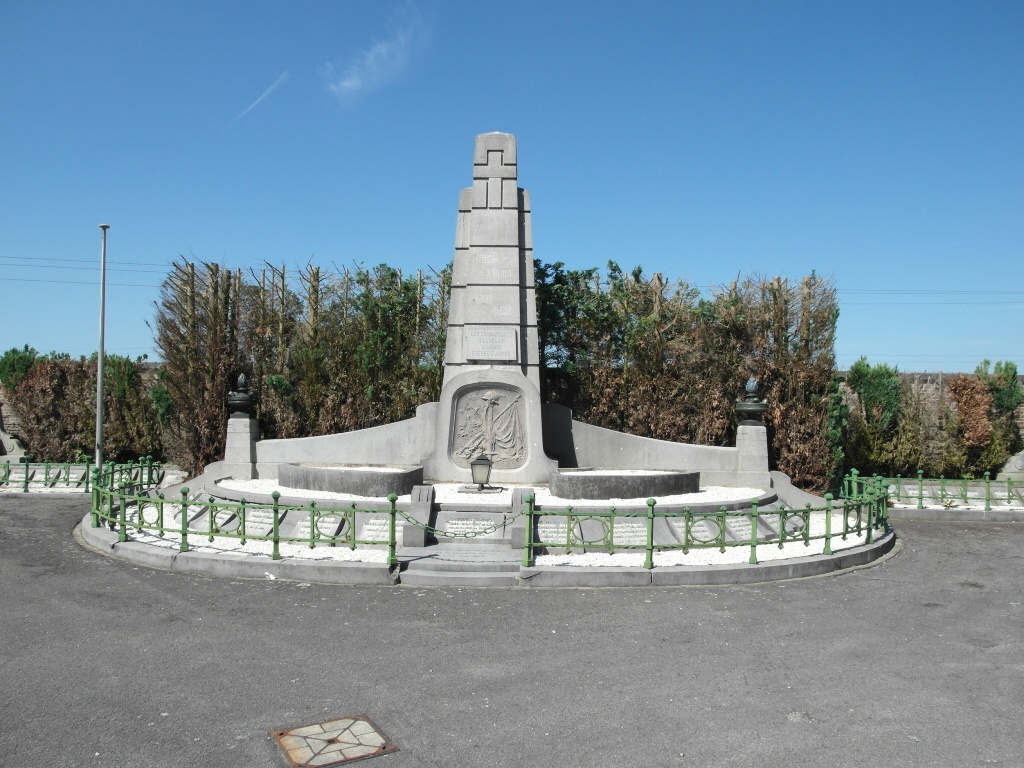
The village of Auvelais is situated to the north of Sambreville on the N90. From the motorway E42, turn off at Junction 14 onto the N98 and follow the direction to Sambreville. After crossing under the junction with the N90, at the traffic lights take first right into rue du Trieu des Cannes. Follow on into rue du Rominet and cross the bridge over the river Sambre. Follow the road round to the left and at the railway station turn right into rue du Docteur Romedenne. At traffic lights turn left onto Rue des Auges. Turn left into Rue Saint-Sang and at the end of this street turn right onto Avenue du Cimetière. The New Communal Cemetery is facing you at the end of this street. The war grave is located at the far end of the main path from the entrance. The grave is one of several war graves within the town’s war memorial plot
History information
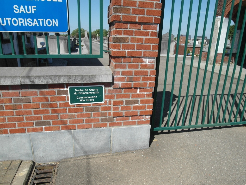
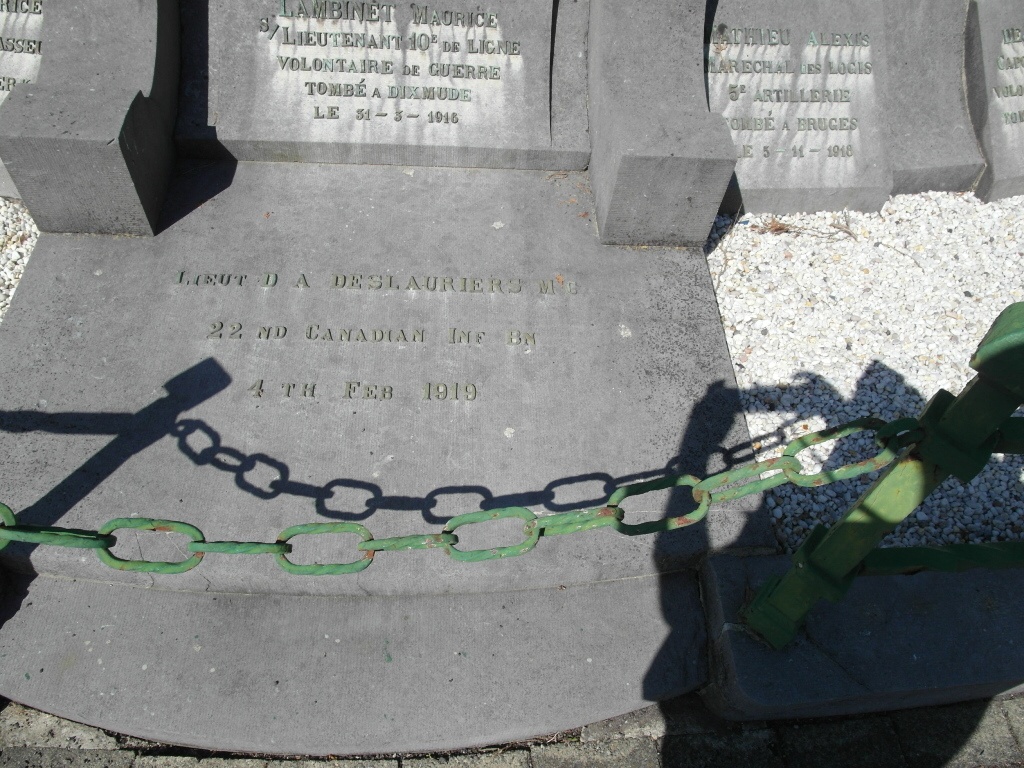
Auvelais New Communal Cemetery contains one Commonwealth burial of the First World War.