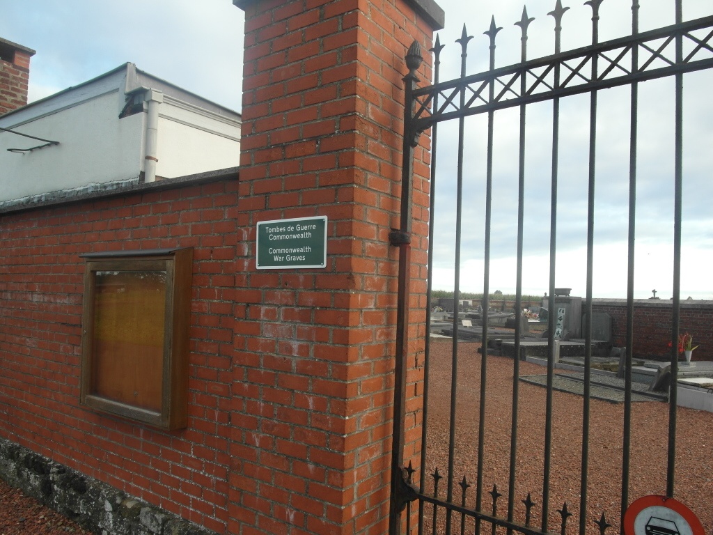
Quevaucamps Communal Cemetery
- Country Belgium
- Total identified casualties 2 Find these casualties
- Region Hainaut
- Identified casualties from First World War
- GPS Coordinates Latitude: 50.51932, Longitude: 3.67425
Location information
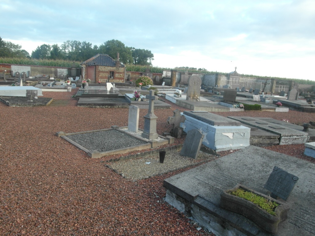
The village of Quevaucamps is located south-west of the town of Tournai off the N527. From the motorway E42 turn off at junction 28 onto the N506, direction Quevaucamps. At the junction with N50 turn left along the N50 then first right into Rue De Brugnon, then turn first left into Rue Du Risque-A-Tout. The cemetery is along here on the right and the graves are located to the left of the cemetery.
History information
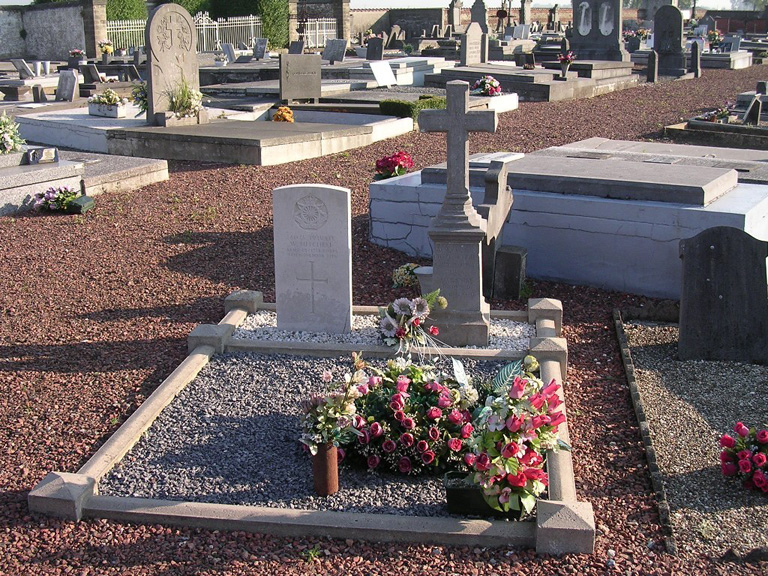
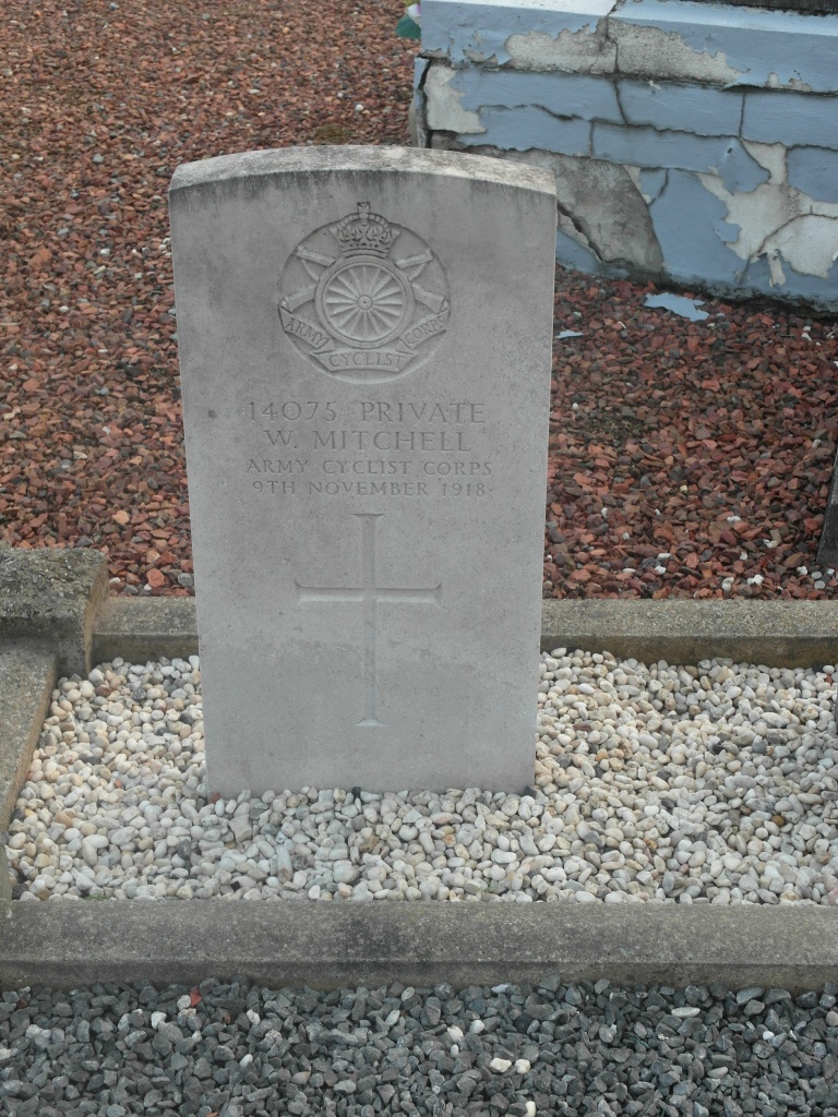
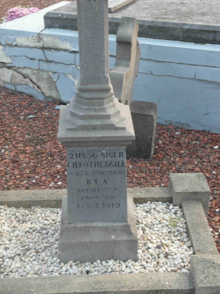
Quevaucamps Communal Cemetery contains two Commonwealth burials of the First World War.