Wulvergem Churchyard
- Country Belgium
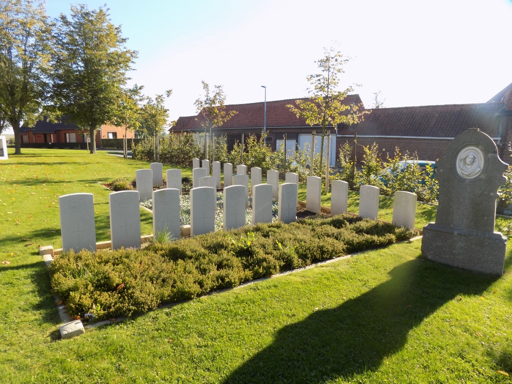
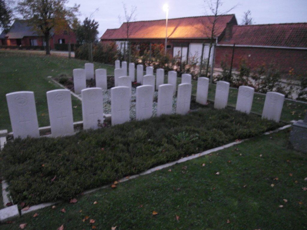
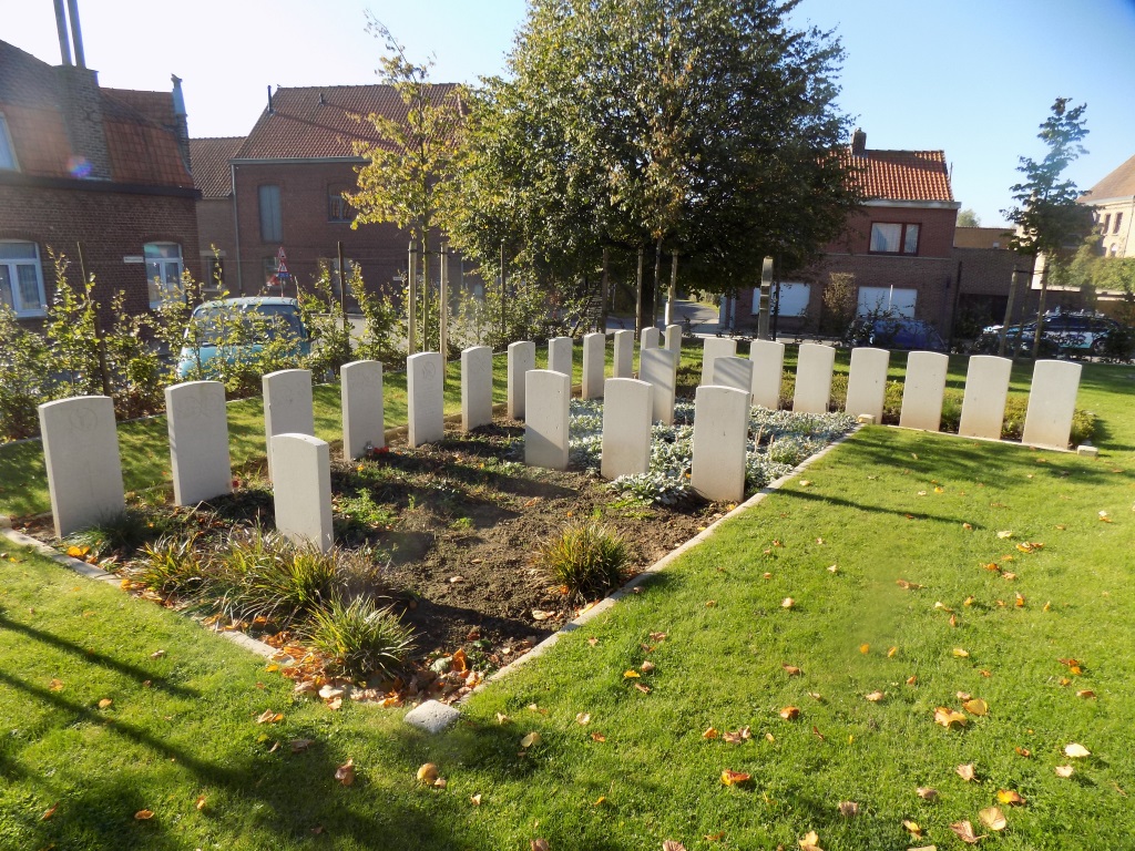
- Total identified casualties 32 Find these casualties
- Region West-Vlaanderen
- Identified casualties from First World War
- GPS Coordinates Latitude: 50.75951, Longitude: 2.85474
PLEASE NOTE
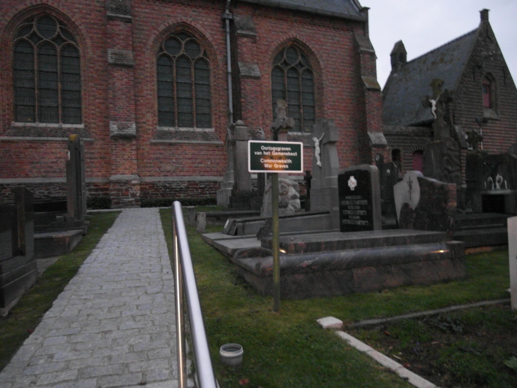
Improvement works are currently being carried out on the 2 plots in the Churchyard. This includes the renewing of the curbs and a new planting scheme.
The CWGC plots are still accessible whilst the works are taking place. We apologise for any inconvenience.
Location information
Wulvergem Churchyard is located 13 Km south of Ieper town centre, on a road leading from the Rijselseweg N365, which connects Ieper to Wijtschate, Mesen and onto Armentieres. From Ieper town centre the Rijselsestraat runs from the market square, through the Lille Gate (Rijselpoort) and directly over the crossroads with the Ieper ring road. The road name then changes to the Rijselseweg. On reaching the town of Mesen the first right hand turning leads onto Mesenstraat. 3 Km along Mesenstraat lies the village of Wulvergem. The churchyard lies next to the village church on the Dorpstraat.
Visiting information
Wheelchair access to site possible - maybe by an alternative entrance. For further information regarding wheelchair access, please contact our Enquiries Department on telephone number: 01628 634221
History information
Wulvergem was in German hands from 14 April 1918 to the following 2 September, when the it was entered by the 30th Division. The churchyard was used for Commonwealth burials by fighting units from November 1914 to April 1915. The church, ruined in the war, was rebuilt in 1925. The churchyard contains 38 Commonwealth burials and commemorations of the First World War. Six of the burials are unidentified and 23 graves destroyed by shell fire are now represented by special memorials.