Tancrez Farm Cemetery
- Country Belgium
- Total identified casualties 331 Find these casualties
- Region Hainaut
- Identified casualties from First World War
- GPS Coordinates Latitude: 50.70959, Longitude: 2.90192
Location information
Tancrez Farm Cemetery is located 17 Kms south of Ieper town centre, on a road leading from the Rijselseweg N365, which connects Ieper to Wijtschate and on to Armentieres. From Ieper town centre the Rijselsestraat runs from the market square, through the Lille Gate (Rijselpoort) and directly over the crossroads with the Ieper ring road. The road name then changes to the Rijselseweg. 2 Kms after the village of Ploegsteert lies the left hand turning onto Chemin de la Blanche (Witteweg). The cemetery is located by taking the first right hand turning from the Witteweg, past Motor Car Cemetery. At the end of this road the road turns to the left towards Touquet. The cemetery is located 500 metres along this road (Rue du Touquet) on the left hand side of the road.
Visiting information
Wheelchair access is possible via the main entrance. For further information regarding wheelchair access, please contact our enquiries department on telephone number 01628 634221.
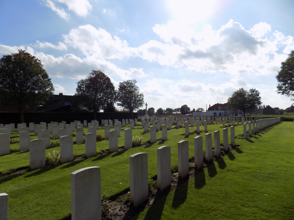
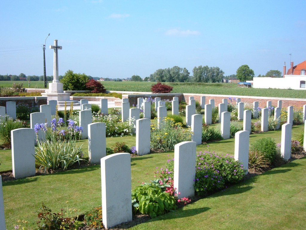
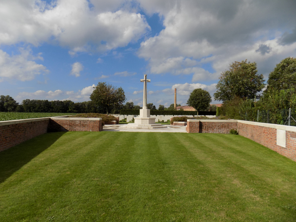
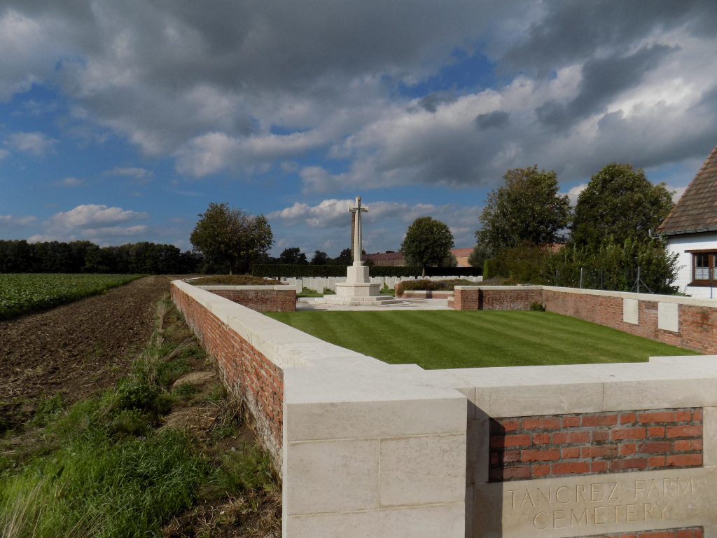
History information
The commune of Ploegsteert remained under Allied occupation for much of the First World War, but was in German hands from 10 April to 29 September 1918. Tancrez Farm Cemetery stands behind a rebuilt farm house which during the war housed an aid post. It was begun in December 1914 and was carried on by field ambulances and fighting units until March 1918. The cemetery now contains 333 Commonwealth burials and commemorations of the First World War. Six of the burials are unidentified but there is a special memorial to one casualty known to be buried among them. There are also two German war graves. The cemetery was designed by Charles Holden.