Zillebeke Churchyard
- Country Belgium
- Total identified casualties 27 Find these casualties
- Region West-Vlaanderen
- Identified casualties from First World War
- GPS Coordinates Latitude: 50.83553, Longitude: 2.92226
Location information
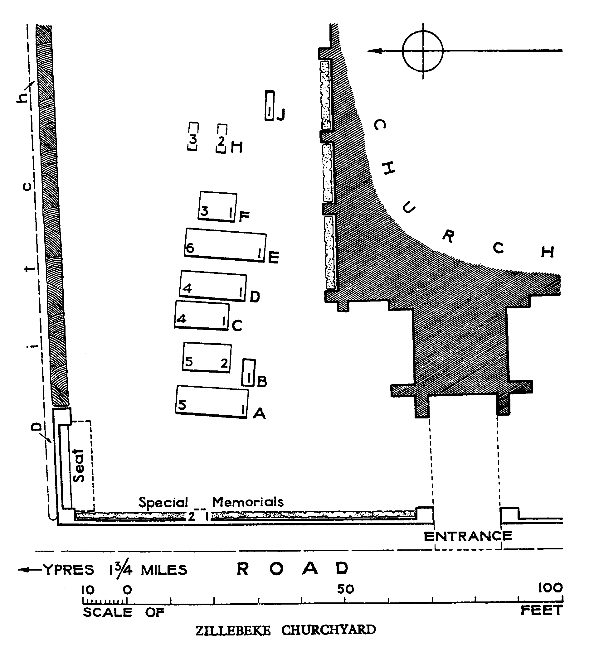
Zillebeke Churchyard is located 3 Km east of Ieper town centre on the Maaldestedestraat, a road leading from the Meenseweg (N8), connecting Ieper to Menen. From Ieper town centre the Meenseweg is located via Torhoutstraat and right onto Basculestraat. Basculestraat ends at a main cross roads, directly over which begins the Meenseweg. 2 Km along the Meenseweg lies the right hand turning onto the Maaldestedestraat. The churchyard itself is located 1.8 Km along the Maaldestedestraat on the left hand side of the road, within the village of Zillebeke.
Visiting information
Wheelchair access to the churchyard is possible via main entrance. For further information regarding wheelchair access, please contact our Enquiries Section on telephone number 01628 507200.
History information
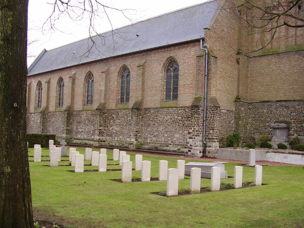
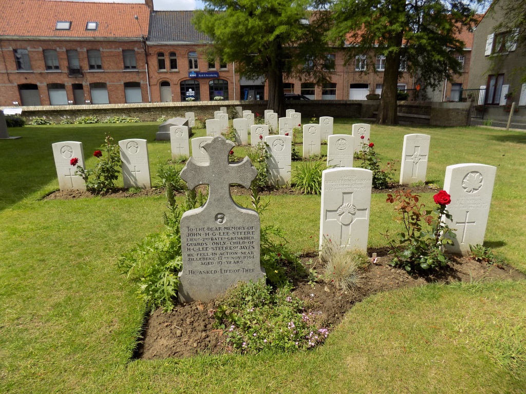
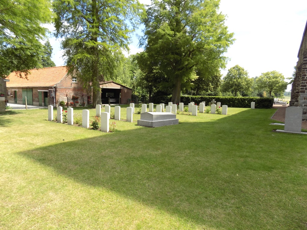
The commune of Zillebeke contains many Commonwealth cemeteries as the front line trenches ran through it during the greater part of the First World War. Zillebeke Churchyard contains 32 Commonwealth burials and commemorations of the First World War. Fourteen (mainly officers) belonged to the Foot Guards or the Household Cavalry who died in 1914. Six of the burials are unidentified and special memorials commemorate two casualties whose graves were destroyed by shell fire. The Commonwealth plot was designed by W H Cowlishaw.