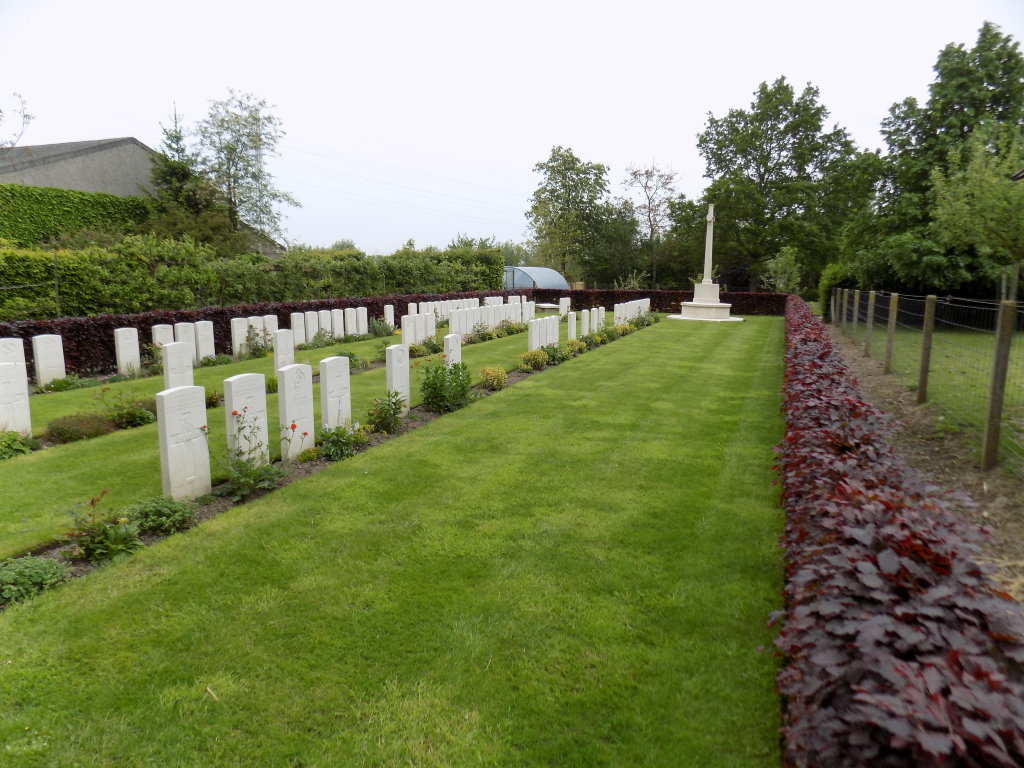
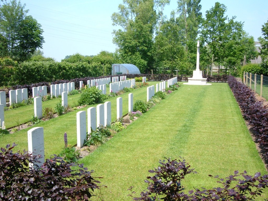
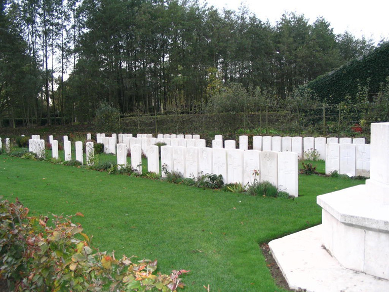
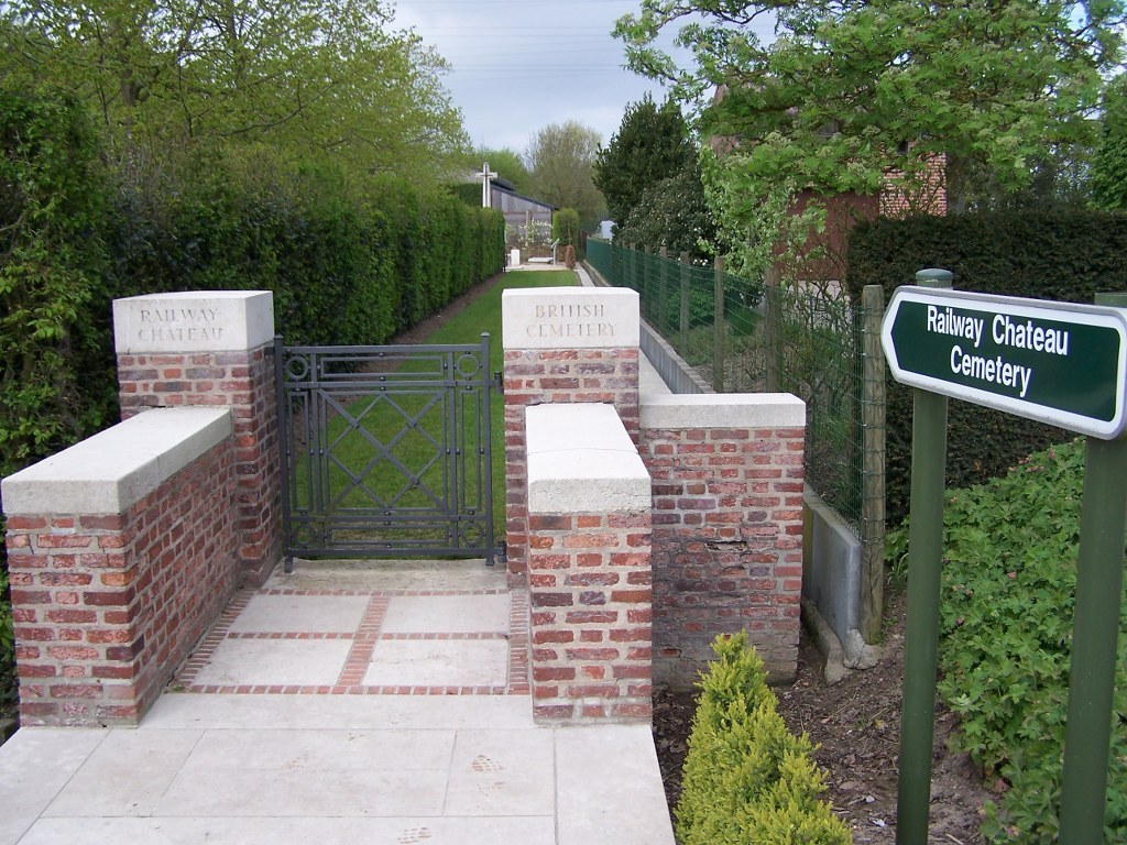
Railway Chateau Cemetery
- Country Belgium
- Total identified casualties 99 Find these casualties
- Region West-Vlaanderen
- Identified casualties from First World War
- GPS Coordinates Latitude: 50.85313, Longitude: 2.85727
Location information
Railway Chateau Cemetery is located 2 Kms west of Ieper town centre, on the Adriaansensweg, a road leading from the Poperingseweg (connecting Ieper to Poperinge). From Ieper town centre the Poperingseweg (N308), is reached via Elverdingsestraat then straight over two small roundabouts in the J.Capronstraat. The Poperingseweg is a continuation of J.Capronstraat and begins after a prominent railway level crossing. 1 Km along the Poperingseweg is the right hand turning onto the Adriaansenweg. Avoiding the road forking off to the right, the cemetery is located 500 metres along the Adriaansenweg, on the left hand side of the road.
Visiting information
Visitors to this site should note that the 30 metre grassed access path to the cemetery is unsuitable for vehicles.
Wheelchair access to the cemetery with some difficulty. For further information regarding wheelchair access, please contact our Enquiries Section on telephone number 01628 507200.
History information
Railway Chateau Cemetery (also known as "Augustine Street Cabaret", and "L.4 Post") was begun in November 1914 and used at intervals until October 1916 by troops fighting in the neighbourhood. The cemetery contains 105 First World War burials, six of which are unidentified. The cemetery was designed by W H Cowlishaw.