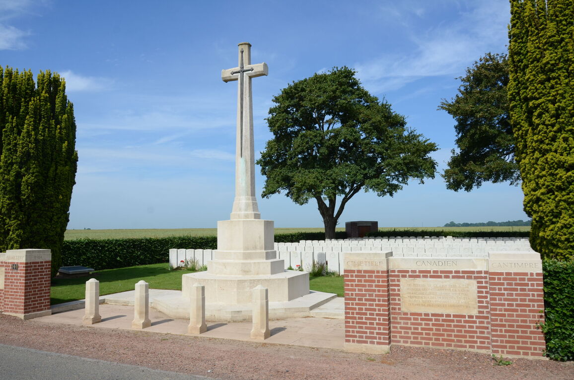
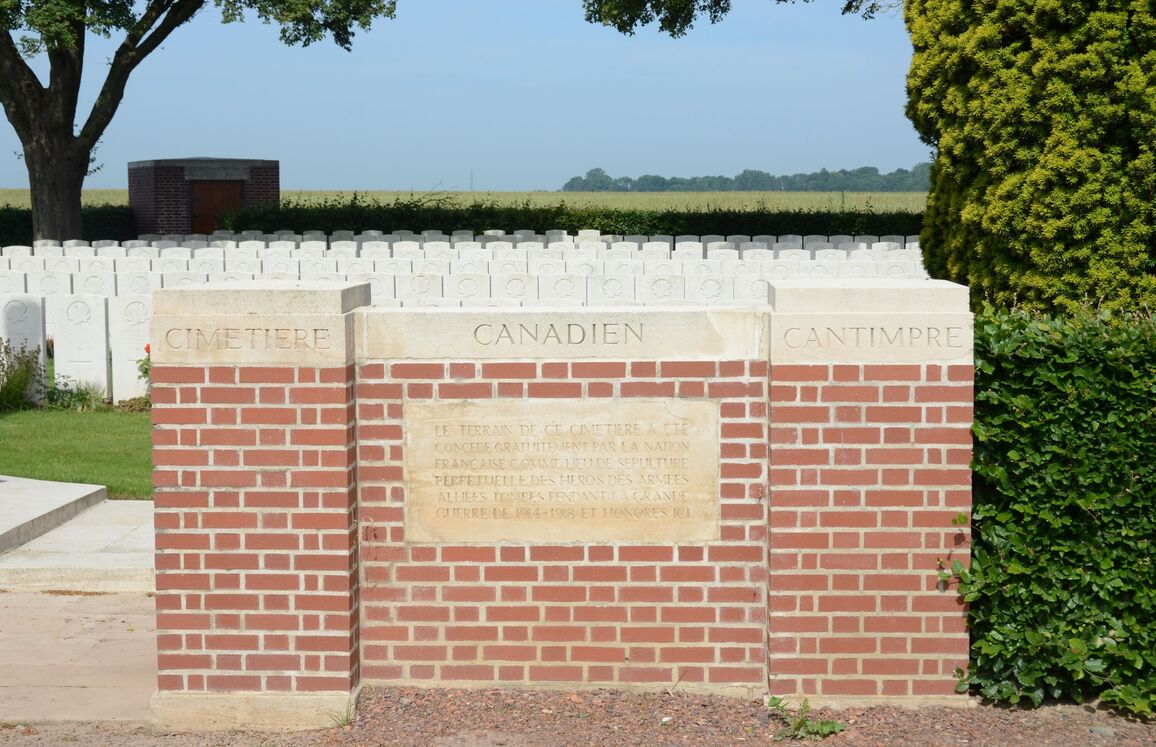
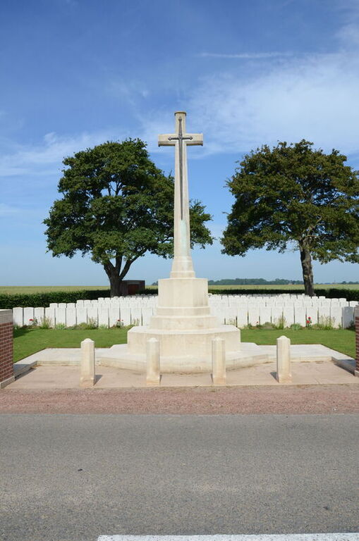
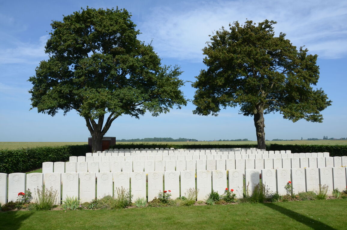
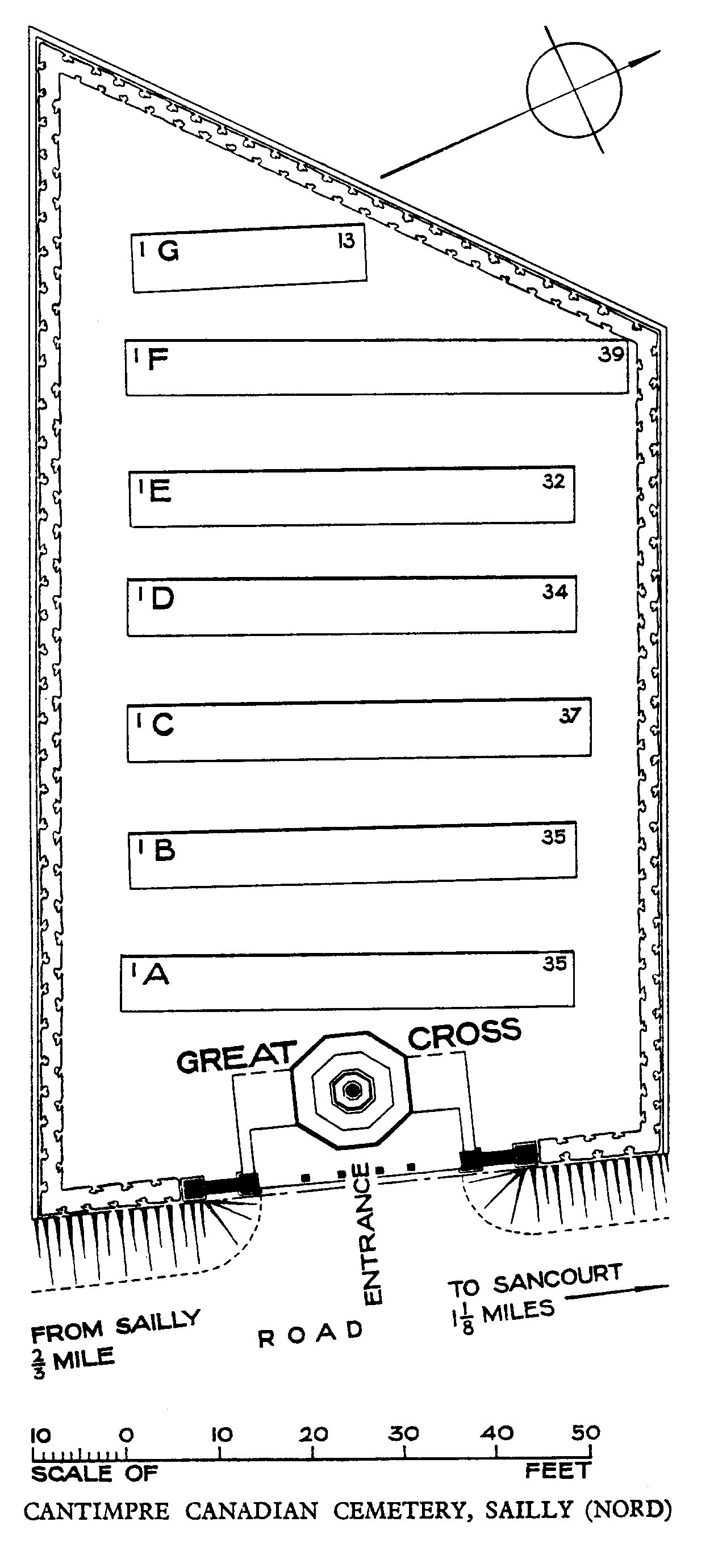
Cantimpre Canadian Cemetery, Sailly
- Country France
- Total identified casualties 205 Find these casualties
- Region Nord
- Identified casualties from First World War
- GPS Coordinates Latitude: 50.20169, Longitude: 3.1816
Location information
Sailly is a village in the Department of the Nord approximately 3 kilometres north-west of Cambrai just to the north of the main Arras to Cambrai road (D939). The Cemetery is signposted from the D939 at Raillencourt and is located 1 kilometre north of Sailly on the D140 on the left hand side of the road towards Sancourt.
History information
The Allied advance in the Battle of Cambrai in 1917 did not reach this district and it was not until September 1918 that the villages of Haynecourt, Sailly and Cantimpre fell into Allied hands. The "Marcoing Line," one of the German defence systems before Cambrai, ran from Marcoing northward through Sailly, to the west of Cantimpre and the east of Haynecourt. On 27 September 1918, the 1st Canadian and 11th Divisions took Haynecourt; and on the next day Sailly was taken. Two cemeteries were made by units which took part in the advance.
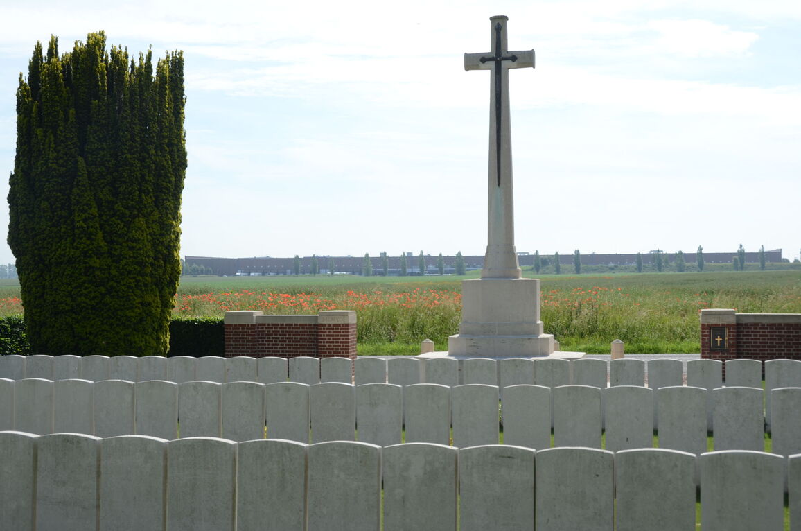
Cantimpre Canadian Cemetery (originally called Marcoing Line British Cemetery) contains 225 First World War burials, 21 of them unidentified. All but two of the burials are of Canadian soldiers, largely of the 54th, 75th and 87th Infantry Battalions.
The cemetery was designed by W H Cowlishaw.