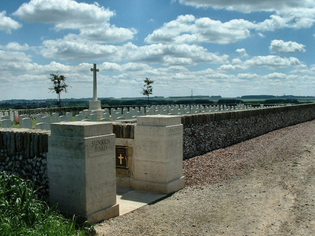
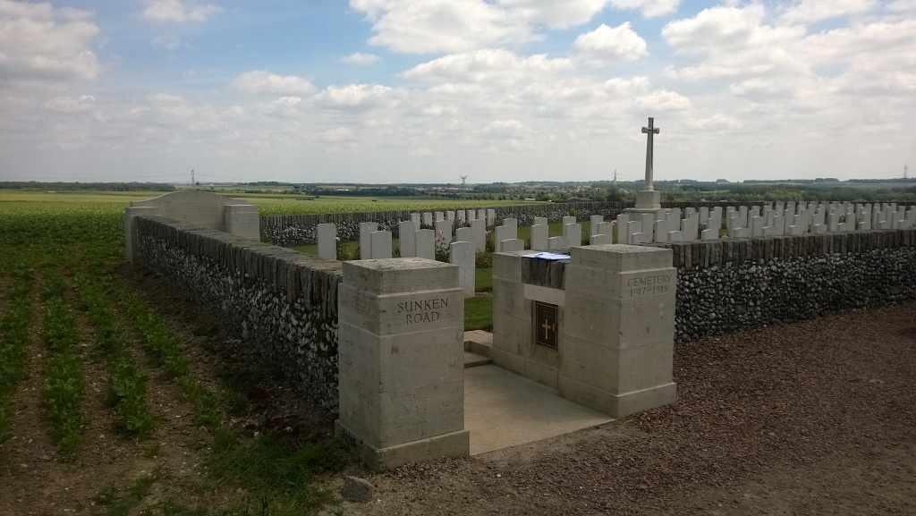
Sunken Road Cemetery, Fampoux
- Country France
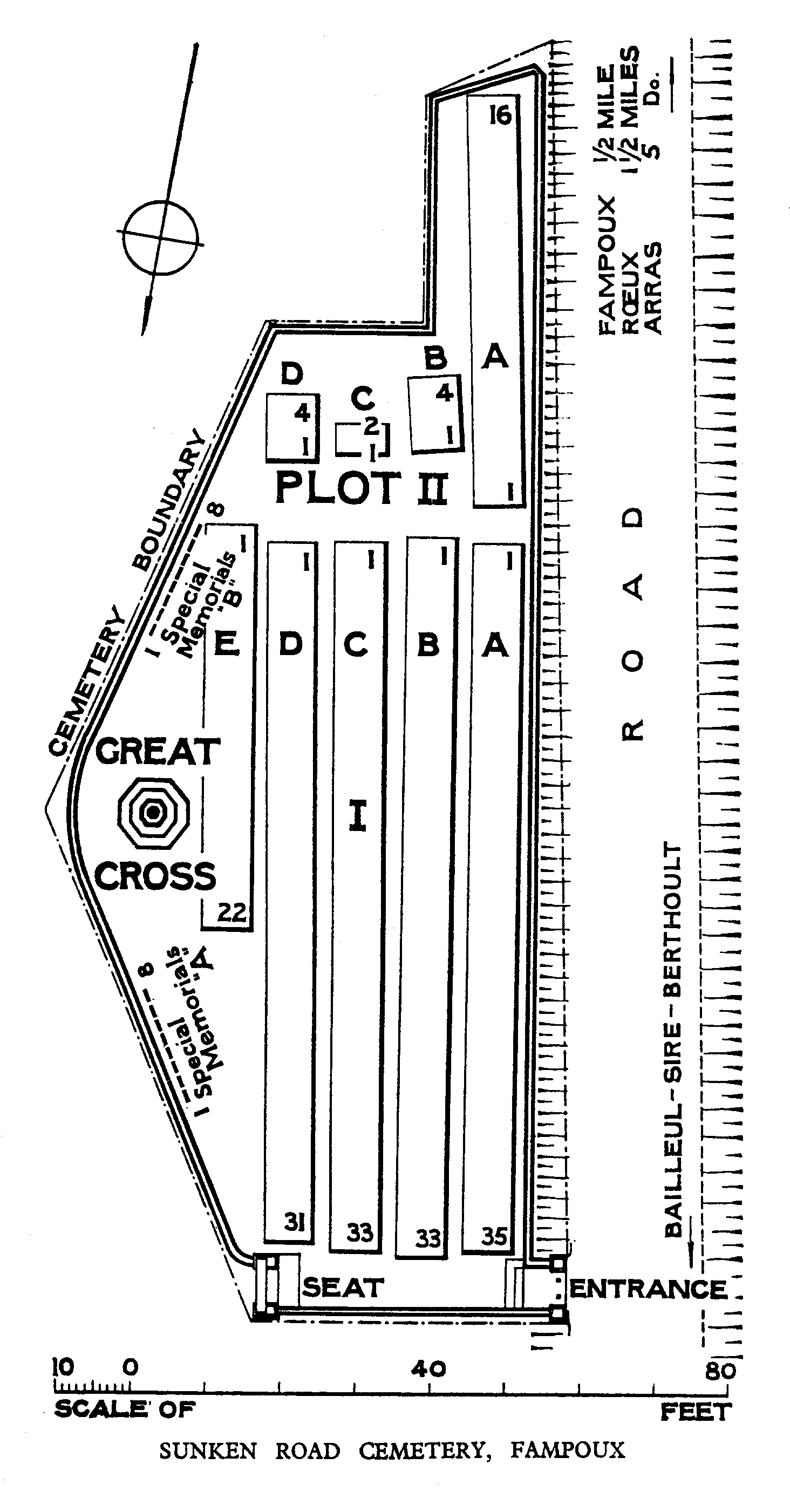
- Total identified casualties 171 Find these casualties
- Region Pas de Calais
- Identified casualties from First World War
- GPS Coordinates Latitude: 50.30985, Longitude: 2.86718
Location information
Fampoux is a village and commune in the department of the Pas-de-Calais on the north bank of the Scarpe, 7 kilometres east of Arras and 1.6 kilometres west of Roeux. From the village take the D42E heading north towards Gavrelle. The Cemetery is 800 metres from the village on a track to the left of the road.
Visiting information
The location or design of this site makes wheelchair access impossible. For further information regarding wheelchair access, please contact our Enquiries Section on 01628 507200.
History information
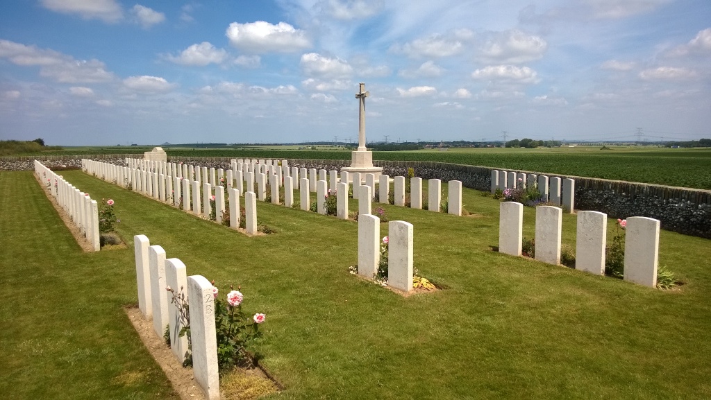
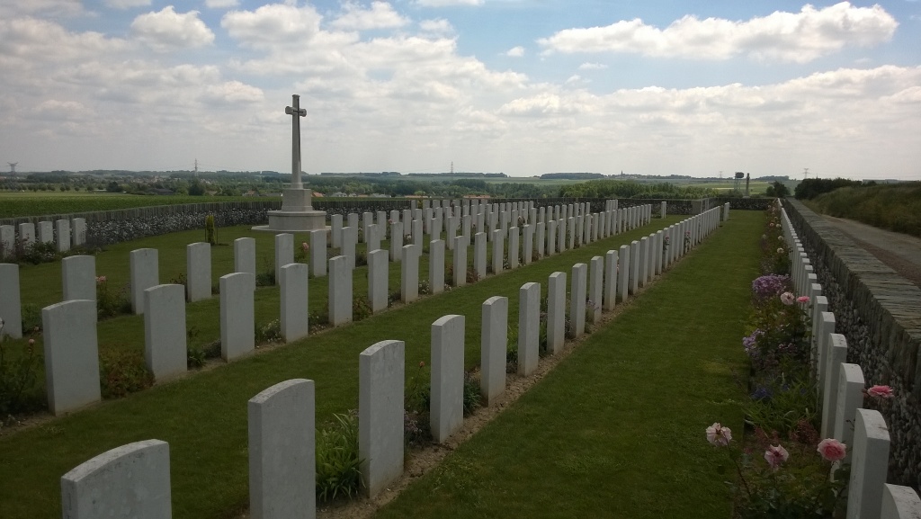
Fampoux village was taken by the 4th Division on 9 April 1917, lost at the end of March 1918, and retaken at the end of the following August. Sunken Road Cemetery is at the summit of the sunken road to Bailleul, on the east side. It was made by burial officers and fighting units between April 1917 and January 1918. Sunken Road Cemetery contains 196 burials and commemorations of the First World War. 26 of the burials are unidentified and sixteen graves, destroyed by shell fire, are now represented by special memorials.