La Gorgue Communal Cemetery
- Country France
- Total identified casualties 152 Find these casualties
- Region Nord
- Identified casualties from First & Second World War
- GPS Coordinates Latitude: 50.63438, Longitude: 2.71062
Location information
Estaires and La Gorgue are adjacent villages about 10 kilometres south-west of Armentieres and 15 kilometres north-north-east of Bethune. The Cemetery is south of the village of La Gorgue and a little east of the road from that village to Lestrem.
Visiting information
Opening hours
from 1 April to September open from 08.00 hrs to 19.00 hrs
from 2 November to 31 March open from 08.00 hrs to 18.00 hrs.
History information
La Gorgue was for some years an Allied railhead and a field ambulance station. From 10 April to the middle of September 1918 it was in German hands.
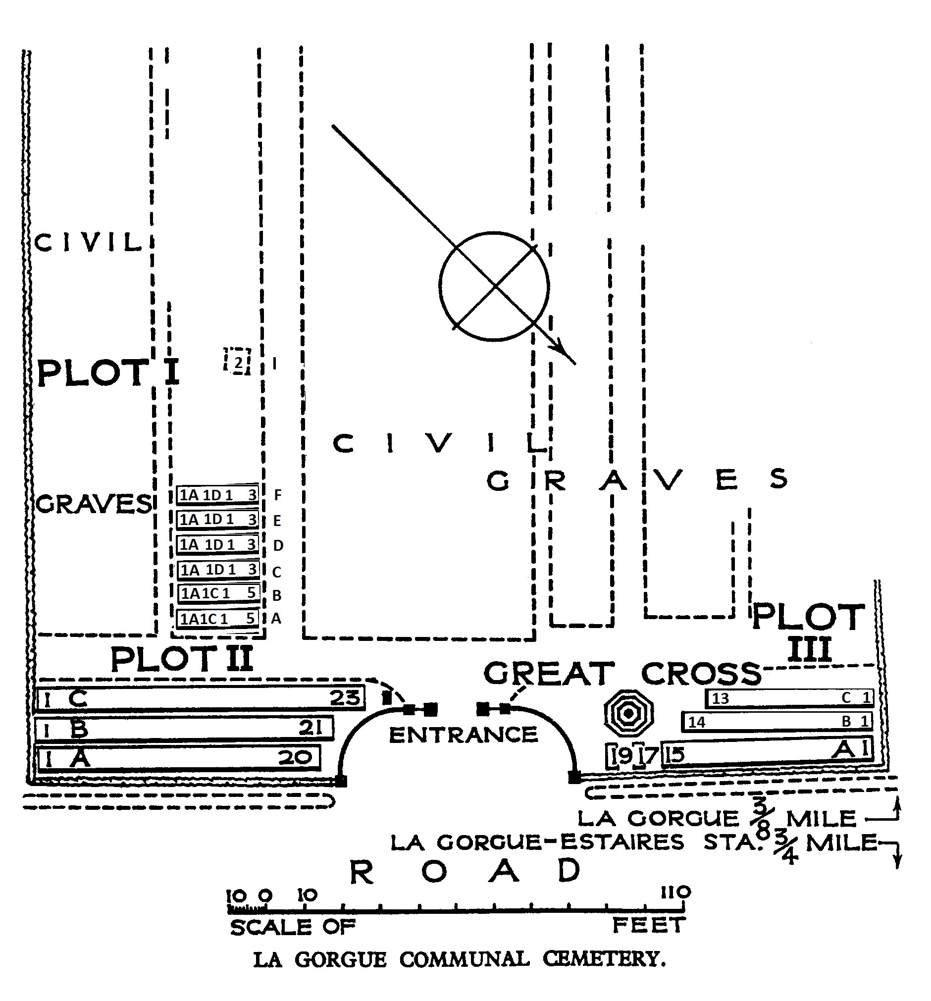
La Gorgue Communal Cemetery was used for burials from October 1914 to December 1917, and again in September and October 1918.
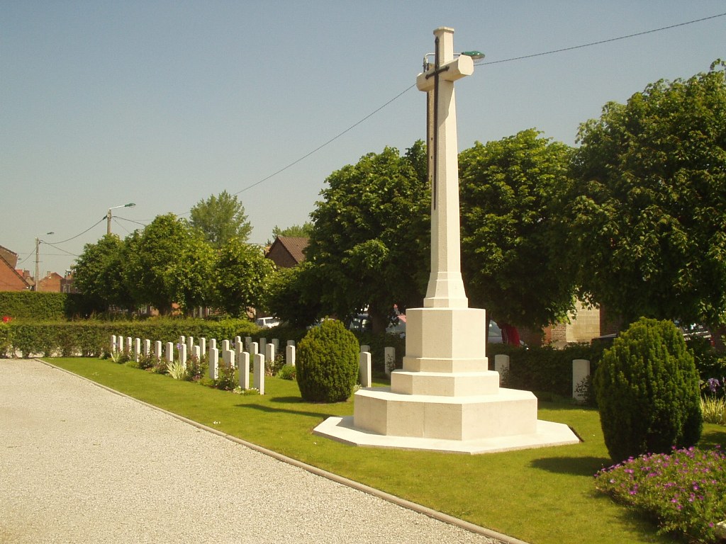
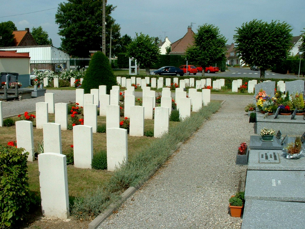
The cemetery contains 144 Commonwealth burials of the First World War, one of which is unidentified. There are also seven burials from the Second World War (one of them unidentified) and three German graves.
The Commonwealth plot was designed by N A Rew.