Calonne-Sur-La-Lys Communal Cemetery
- Country France
- Total identified casualties 11 Find these casualties
- Region Pas de Calais
- Identified casualties from First & Second World War
- GPS Coordinates Latitude: 50.62402, Longitude: 2.61867


Location information
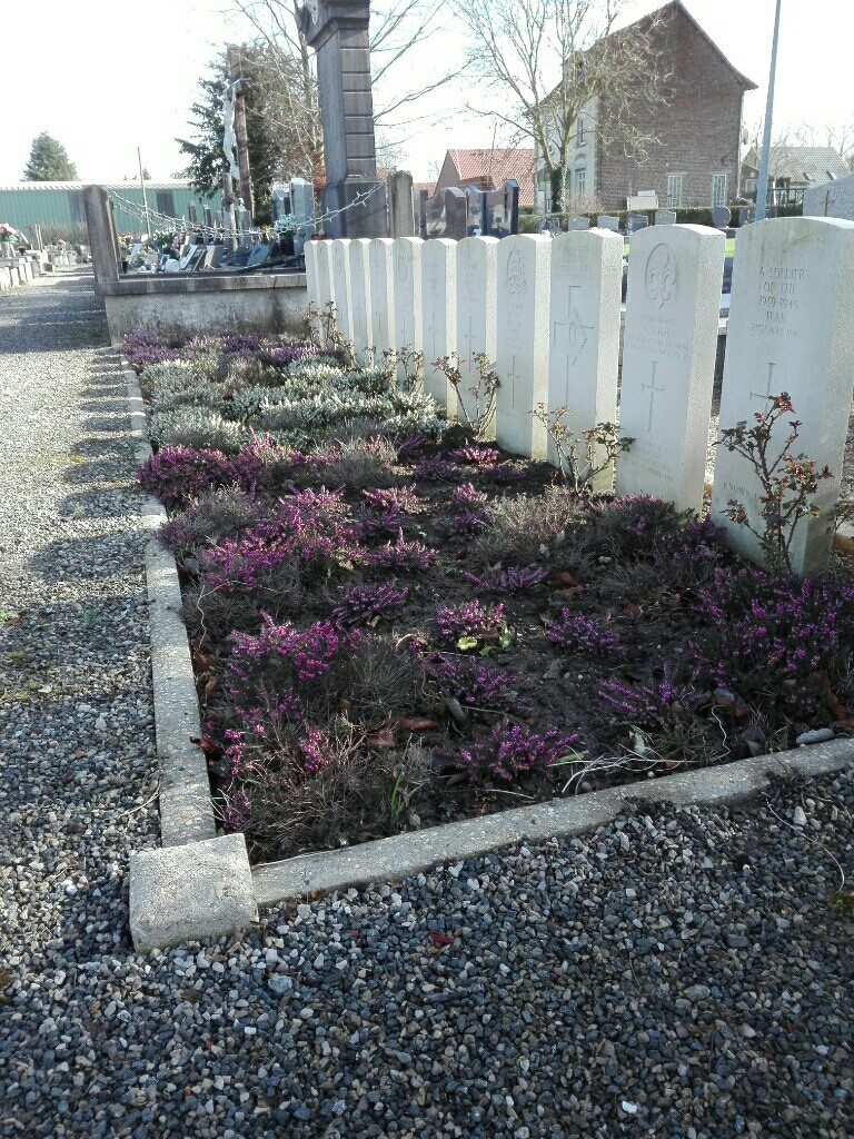
Calonne-sur-la-Lys is a village 38 kilometres north-north-west of Arras and 11 kilometres north of Bethune on the D180. The Communal Cemetery surrounds the church which is in the middle of the village. The Commonwealth war graves are in four plots: one containing 7 burials from the Second World War, one containing 13 burials from the Second World War, one containing a single burial from the First World War, and finally a plot containing 3 burials from the Second World War and 1 burial from the First World War.
History information
During the withdrawal of the British Expeditionary Force to Dunkirk in May 1940, there was heavy fighting in the area around Calonne-sur-la-Lys, and most of the inhabitants left the area. The school was used by the Germans as an aid post, and British soldiers who died at Calonne, either in battle or of wounds while prisoners, were buried by the Germans in the field behind the school. In 1942 the local people moved these graves into the communal cemetery, but in the meantime the rough grave markers had in many instances become illegible. The identity discs and personal possessions had mostly been removed before burial, so that in 1942 few of the dead could be identified. The communal cemetery now contains 23 Commonwealth burials of the Second World War, 14 of which are unidentified. There are also two burials from the First World War.