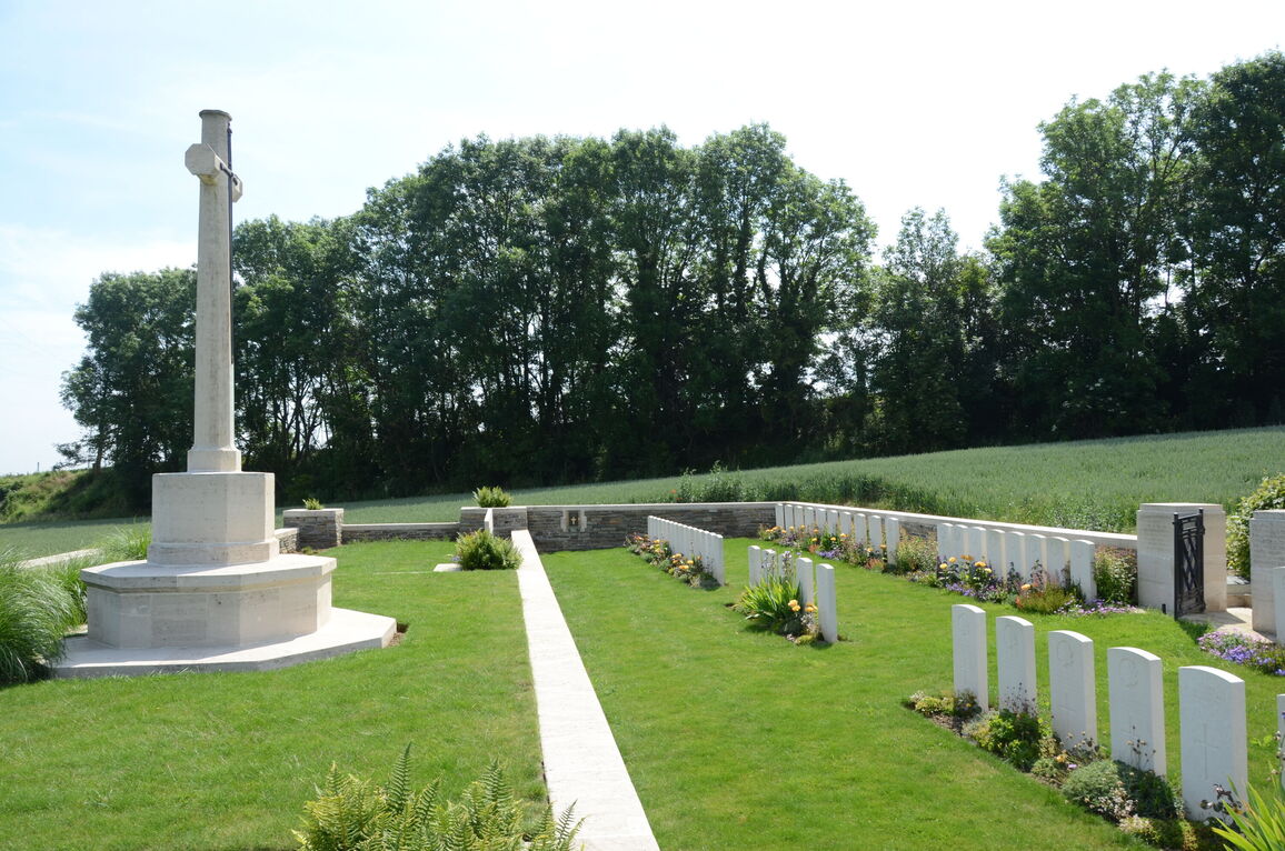
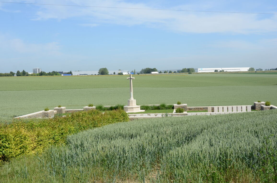
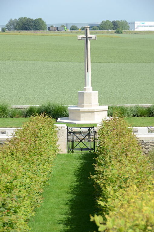
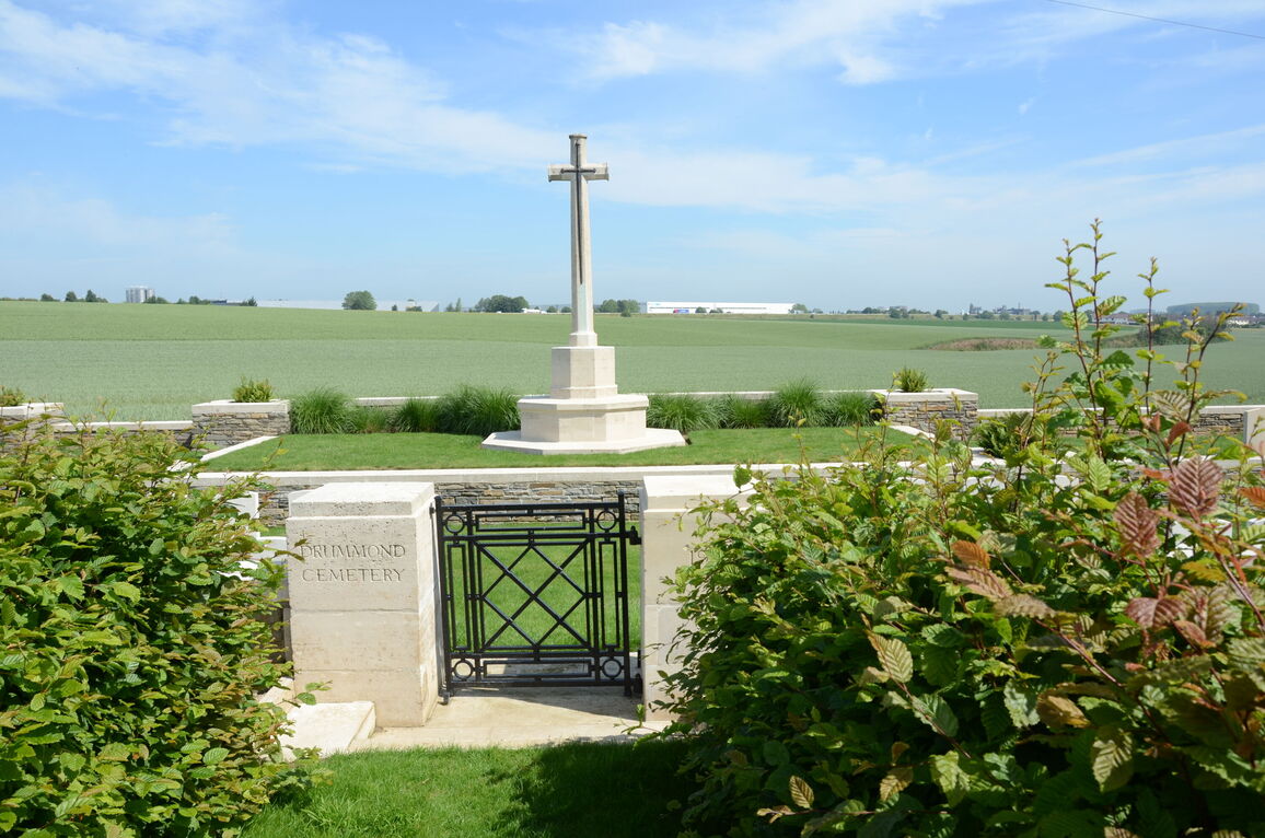
Drummond Cemetery, Raillencourt
- Country France
- Total identified casualties 85 Find these casualties
- Region Nord
- Identified casualties from First World War
- GPS Coordinates Latitude: 50.18724, Longitude: 3.2005
Location information
Raillencourt is a village on the main Arras-Cambrai road, D939. From the CWGC cemetery on this road, Raillencourt-St-Olle, follow the D939 for 1.6 kilometres to a left turn at its junction with the Rue du Tordoir, where the first CWGC sign is situated. Follow this road for approximately 900 metres, surface changing at 600 metres from tar to rough stone track, at the end of which lies the Cemetery.
Visiting information
Wheelchair access with some difficulty. For further information regarding wheelchair access, please contact our enquiries department on telephone number 01628 634221.
History information
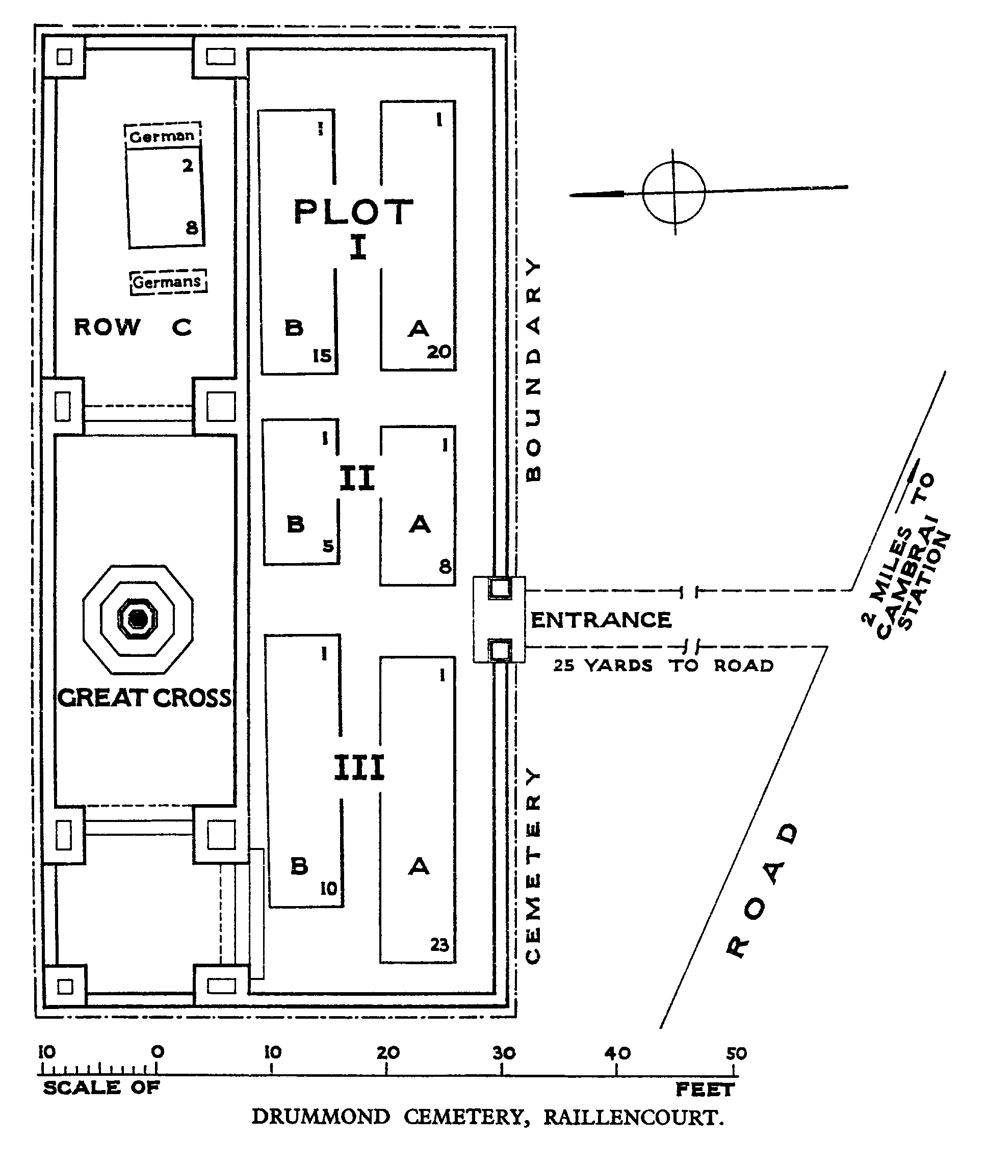
Drummond Cemetery was made by the Canadian Corps in October 1918. The cemetery was named from Lieut. J R Drummond, R.A.F., who was the first to be buried in it. The cemetery contains 88 Commonwealth burials of the First World War and three German graves. The cemetery was designed by W C Von Berg.