Bapaume Australian Cemetery
- Country France
- Total identified casualties 107 Find these casualties
- Region Pas de Calais
- Identified casualties from First World War
- GPS Coordinates Latitude: 50.10155, Longitude: 2.85442
Location information
Bapaume is a town 22 kilometres south of Arras and 26 kilometres south-west of Cambrai. The Australian Cemetery is in the Rue du Chemin Blanc. Travelling through Bapaume in the direction of Peronne, the cemetery is signposted before leaving the town. The signpost points towards the prostrate statue of Abel Guidet and the Rue du Chemin Blanc forms the angle with the High Street.
Visiting information
In front of the entrance to this cemetery, the roadside verge is steep.
Wheelchair access with some difficulty.
For further information regarding wheelchair access, please contact our enquiries department on telephone number 01628 634221.
History information
Bapaume was occupied by German forces on the 26th September 1914, and by the British on the 17th March 1917; it was retaken by the Germans on the 24th March 1918, and by the New Zealand Division on the following 29th August. It has given its name to the battles of the 24-25th March 1918, and the 31st August to 3rd September 1918. It was severely damaged by both sides during the War. Bapaume was later "adopted" by the City of Sheffield.
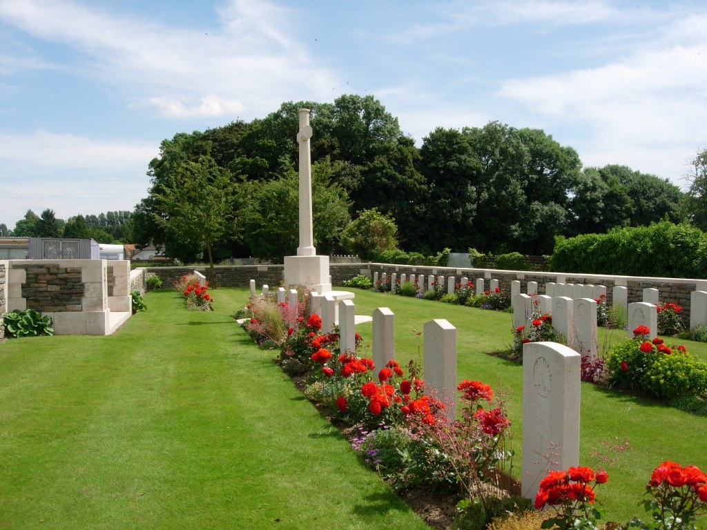
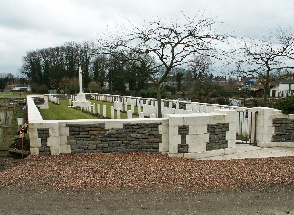
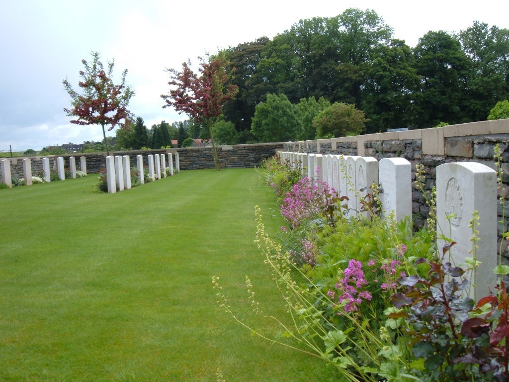
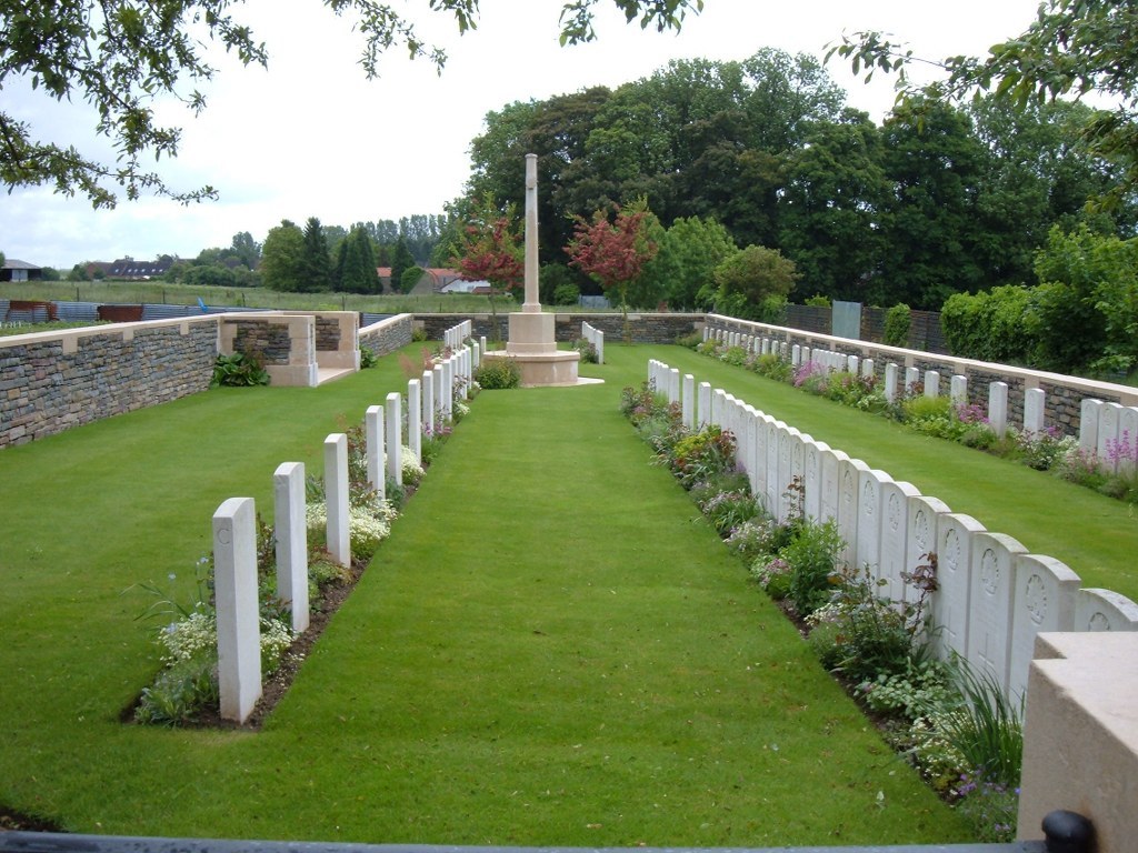
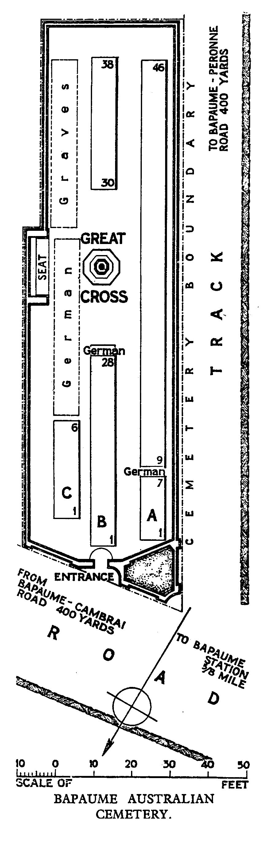
Bapaume Australian Cemetery was begun in March 1917, by the 3rd Australian Casualty Clearing Station and used until the following June. In April and May 1918, 23 German graves were added to Row C.
There are now over 80, 1914-18 war casualties commemorated in this site.
The cemetery covers an area of 542 square metres and is enclosed by a rubble wall.