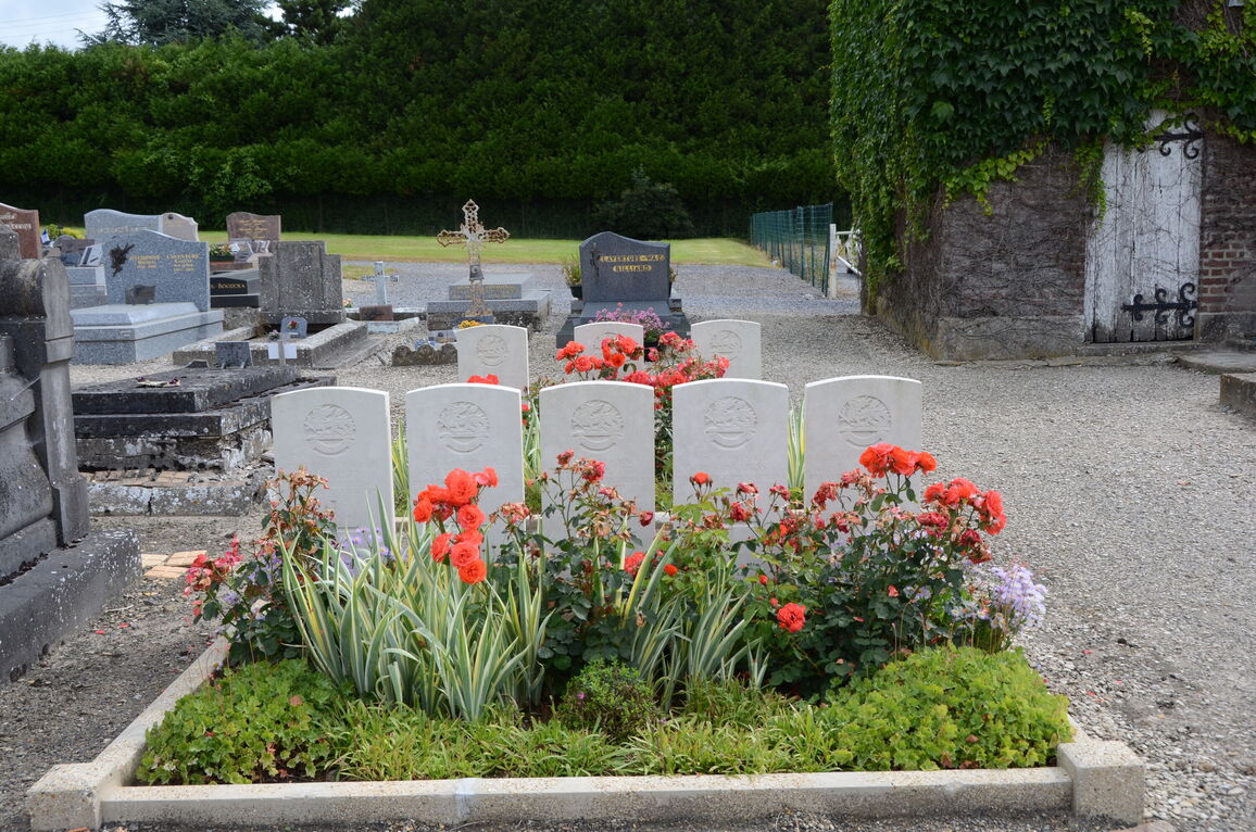
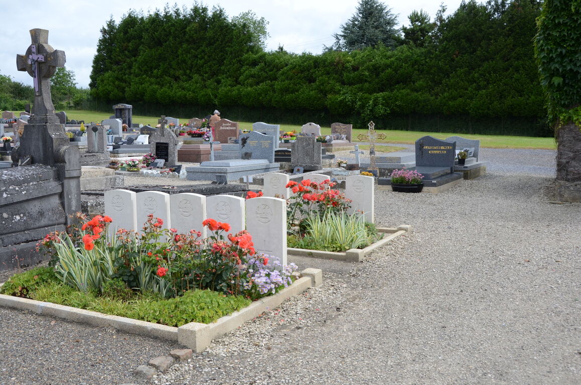
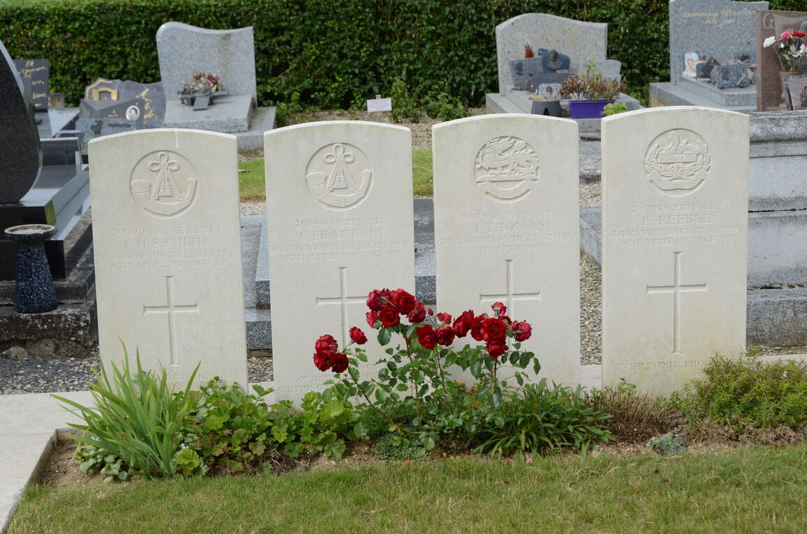
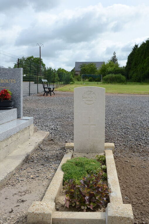
Vermand Communal Cemetery
- Country France
- Total identified casualties 42 Find these casualties
- Region Aisne
- Identified casualties from First World War
- GPS Coordinates Latitude: 49.87578, Longitude: 3.14176
Location information
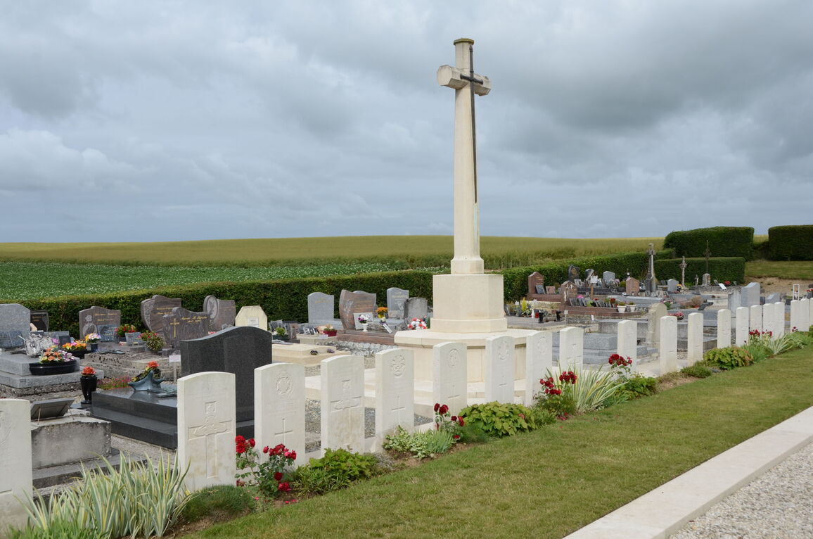
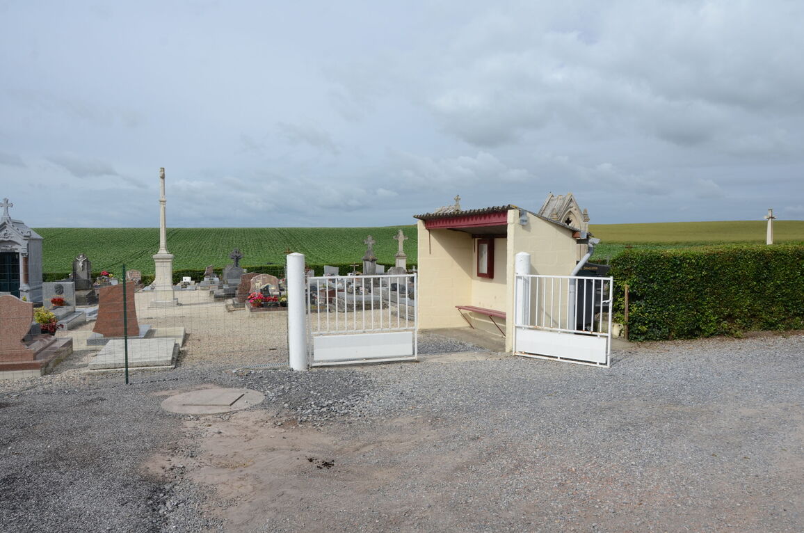
Vermand is a village 12 kilometres east of St Quentin, in the Department of the Aisne, on the Omignon River. The Communal Cemetery is on the road to Caulaincourt.
History information
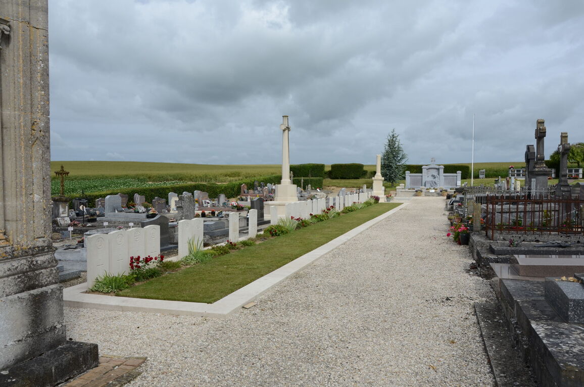
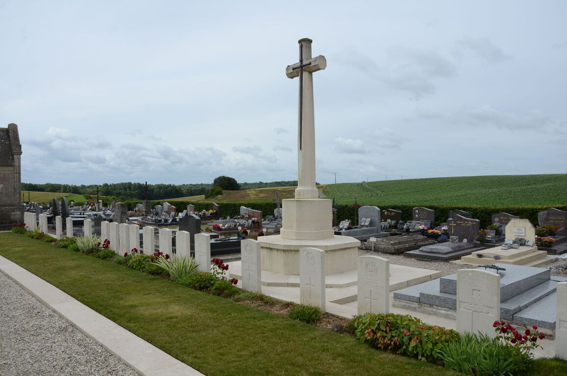
Vermand was later "adopted" by the Borough of Cambridge. The Communal Cemetery was used in April and May 1917 and March and September 1918 for British burials.
There are now over 40, 1914-18 war casualties commemorated in this site.
The plot covers an area of 227 square metres.