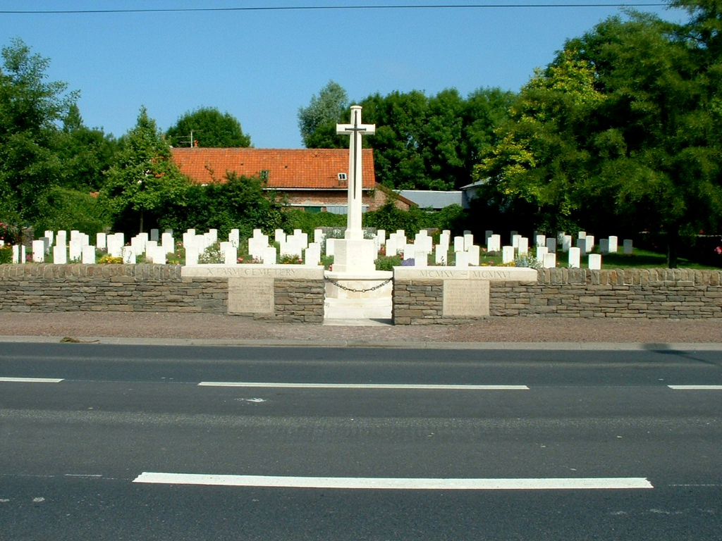
X Farm Cemetery, La Chapelle-D'armentieres
- Country France
- Total identified casualties 113 Find these casualties
- Region Nord
- Identified casualties from First World War
- GPS Coordinates Latitude: 50.66549, Longitude: 2.90089
Location information
"X" Farm Cemetery is approximately 1 kilometre south of the village on the Avenue Président Kennedy, west of the road to Bois-Grenier, between the road and the site of a farm.
Visiting information
Wheelchair access to the cemetery is possible, but may be by alternative entrance. For further information regarding wheelchair access, please contact our Enquiries Section on 01628 507200.
History information
La Chapelle-d'Armentieres was in British hands from October 1914 until the fall of Armentieres on 10 April 1918, and it was retaken in the following October. During the British occupation it was very close to the front line, and the cemeteries which it contains are those made by fighting units and Field Ambulances in the earlier days of trench warfare.
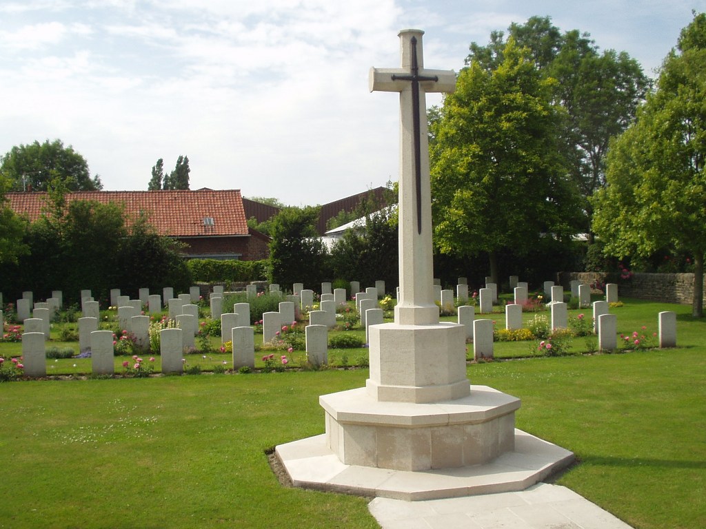
"X" Farm Cemetery was begun in April 1915 and used until June 1916, and it was sometimes called "Wine Avenue". It was intended to take the place of Desplanque Farm Cemetery.
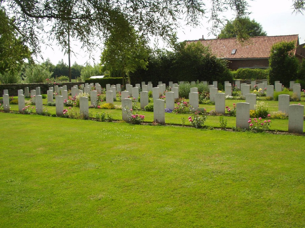
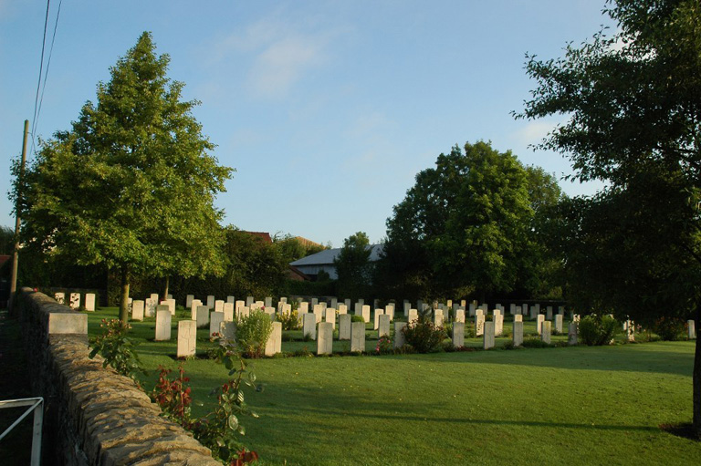
There are now over 100, 1914-18 war casualties commemorated in this site.
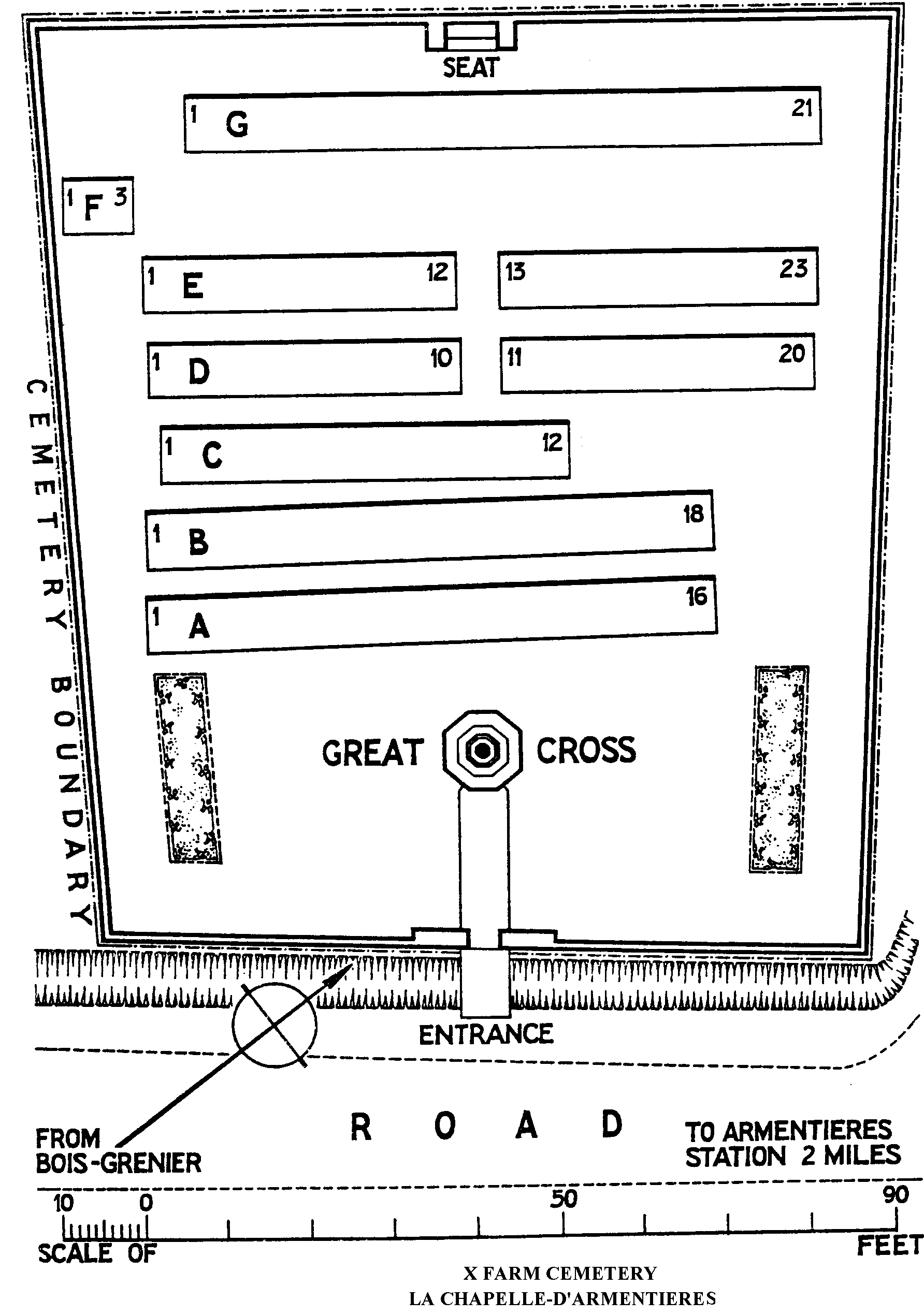
The Cemetery covers an area of 1,065 square metres and is enclosed by a low rubble wall.