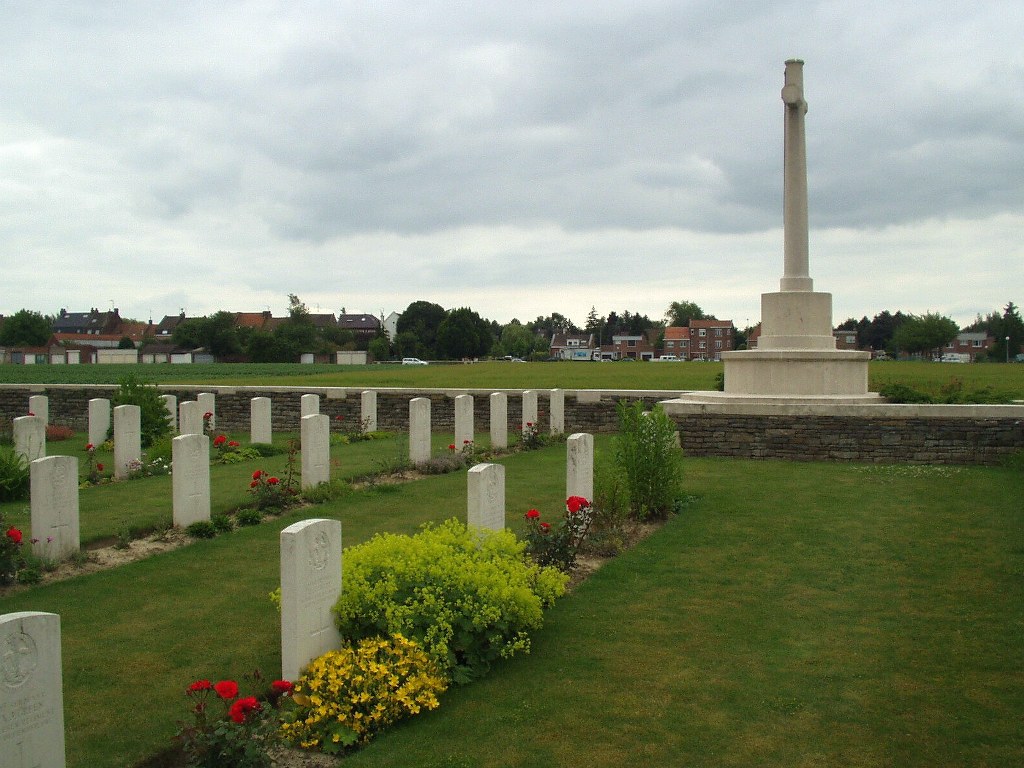
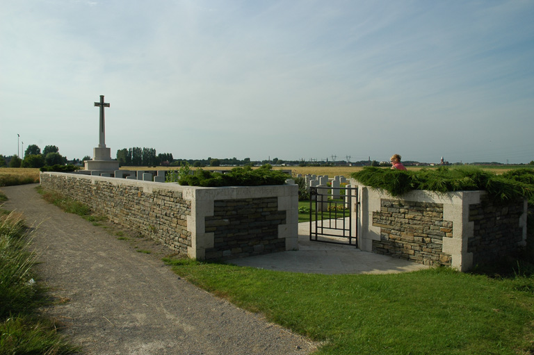
Chapelle-D'armentieres New Military Cemetery
- Country France
- Total identified casualties 72 Find these casualties
- Region Nord
- Identified casualties from First World War
- GPS Coordinates Latitude: 50.67302, Longitude: 2.9026
Location information
La Chapelle-d'Armentieres is a village 1.5 kilometres to the west of Armentieres, a large town in the north of France. From the Mairie in La Chapelle-d'Armentieres turn left onto the main road. The Old Military Cemetery will be found 500 metres along on the left and the New Military Cemetery lies in the middle of the field behind the Old Military Cemetery.
Visiting information
Wheelchair access with some difficulty. For further information regarding wheelchair access, please contact our Enquiries Section on 01628 507200.
History information
The village of La Chapelle-d'Armentieres was in British hands from October 1914 until the fall of Armentieres on the 10th April 1918, and it was retaken in the following October. During the British occupation it was very close to the front line, and the cemeteries which it contains are those made by fighting units and Field Ambulances in the earlier days of trench warfare. Chapelle-d'Armentieres New Military Cemetery was begun in October 1915, when the Old Cemetery was closed, and it was used for three months. One grave in Row C was brought in from Roubaix Communal Cemetery in 1927. There are now over 70, 1914-18 war casualties commemorated in this site. Of these, a small number are unidentified. The Cemetery covers an area of 507 square metres and is enclosed by a rubble wall.