Dourlers Communal Cemetery Extension
- Country France
- Total identified casualties 194 Find these casualties
- Region Nord
- Identified casualties from First World War
- GPS Coordinates Latitude: 50.1775, Longitude: 3.94175
Location information
Doulers (previously Dourlers) is a small village on the D33 off the main road N2 between Maubeuge and Avesnes-sur-Helpe. The Communal Cemetery Extension, in the Communal Cemetery in the village, will be found by taking the first right turning coming in from the N2.
Visiting information
Wheelchair access is possible via the main entrance. For further information regarding wheelchair access, please contact our Enquiries Department on 01628 634221.
History information
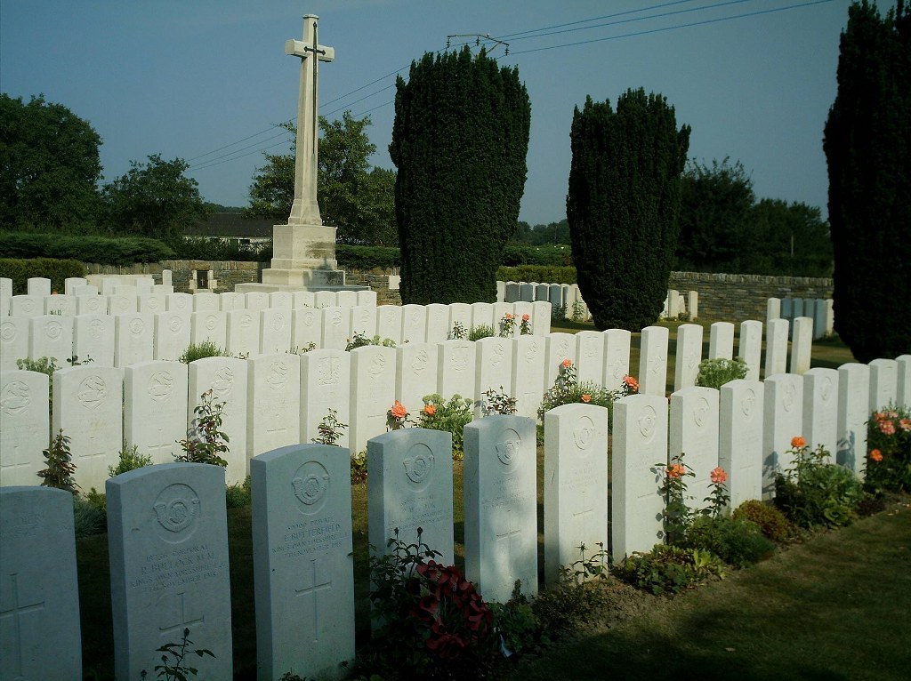
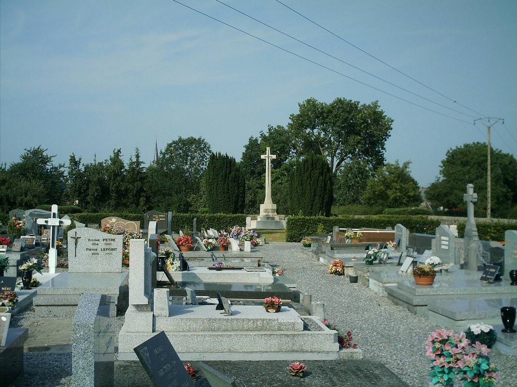
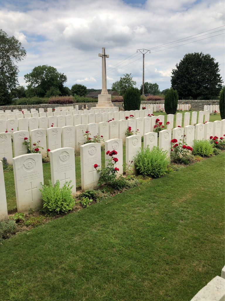
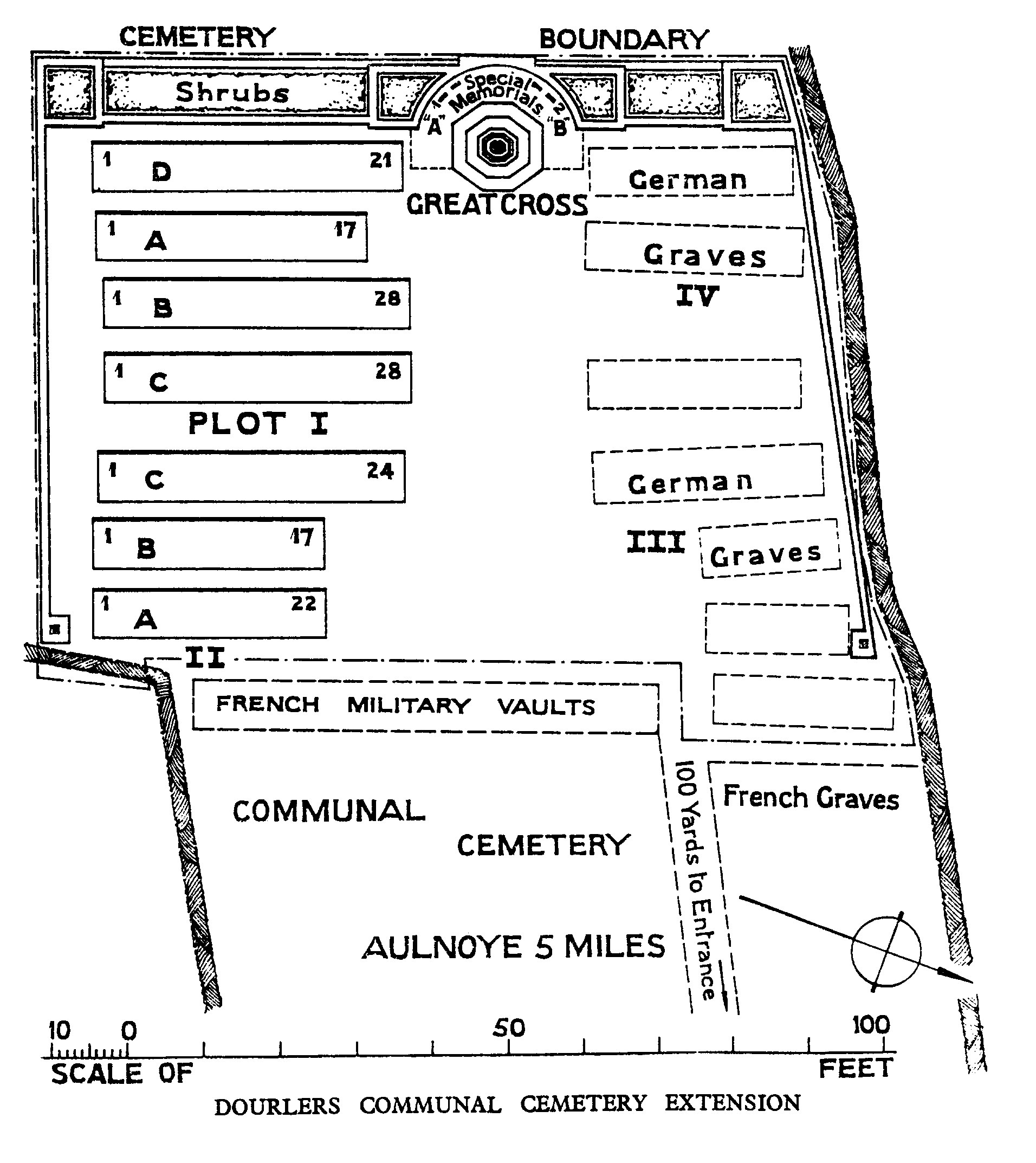
Dourlers village was in German hands during almost the whole of the First World War. It was taken on 7 November 1918, after heavy fighting, by the 6th Royal Inniskilling Fusiliers and the 1st K.O.Y.L.I. The communal cemetery was used by the Germans during the war, but in November 1918, a small extension was made by Commonwealth troops at the west end. After the Armistice, the German graves from the communal cemetery and others from the battlefields, together with Commonwealth graves from isolated positions and the following small cemeteries, were brought into the extension:- LIMONT-FONTAINE COMMUNAL CEMETERY GERMAN EXTENSION, contained 45 graves; LANCASHIRE CEMETERY, ST. HILAIRE-SUR-HELPE, contained 15 graves. The Extension contains 161 Commonwealth burials and commemorations of the First World War. 14 of the burials are unidentified but there are special memorials to four casualties known or believed to be buried among them. The extension also contains 108 German burials, 62 of which are unidentified.