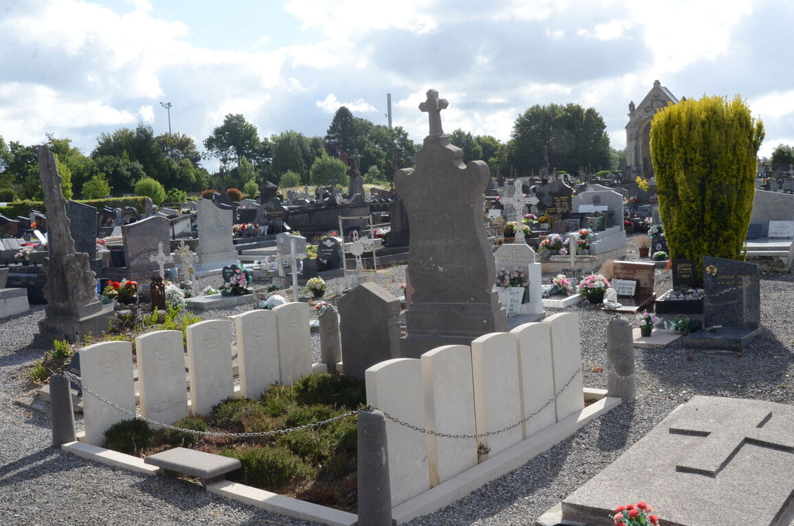
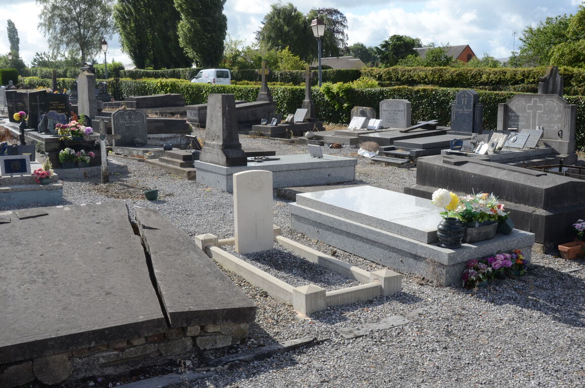
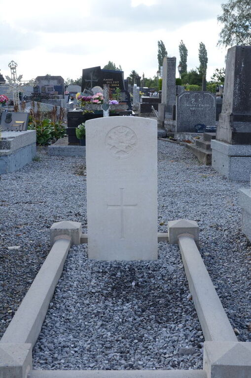
Maroilles Communal Cemetery
- Country France
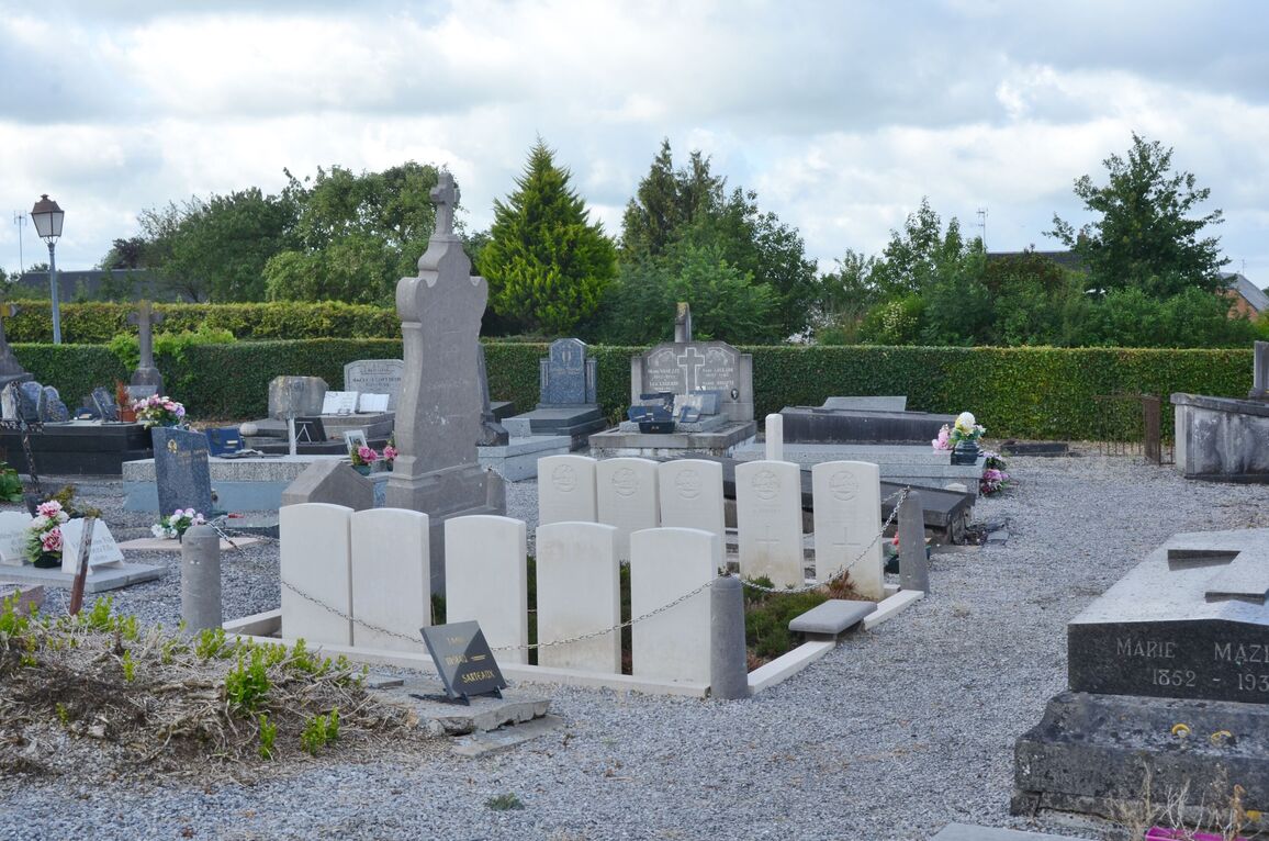
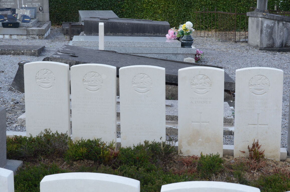
- Total identified casualties 20 Find these casualties
- Region Nord
- Identified casualties from First World War
- GPS Coordinates Latitude: 50.13574, Longitude: 3.77078
Location information
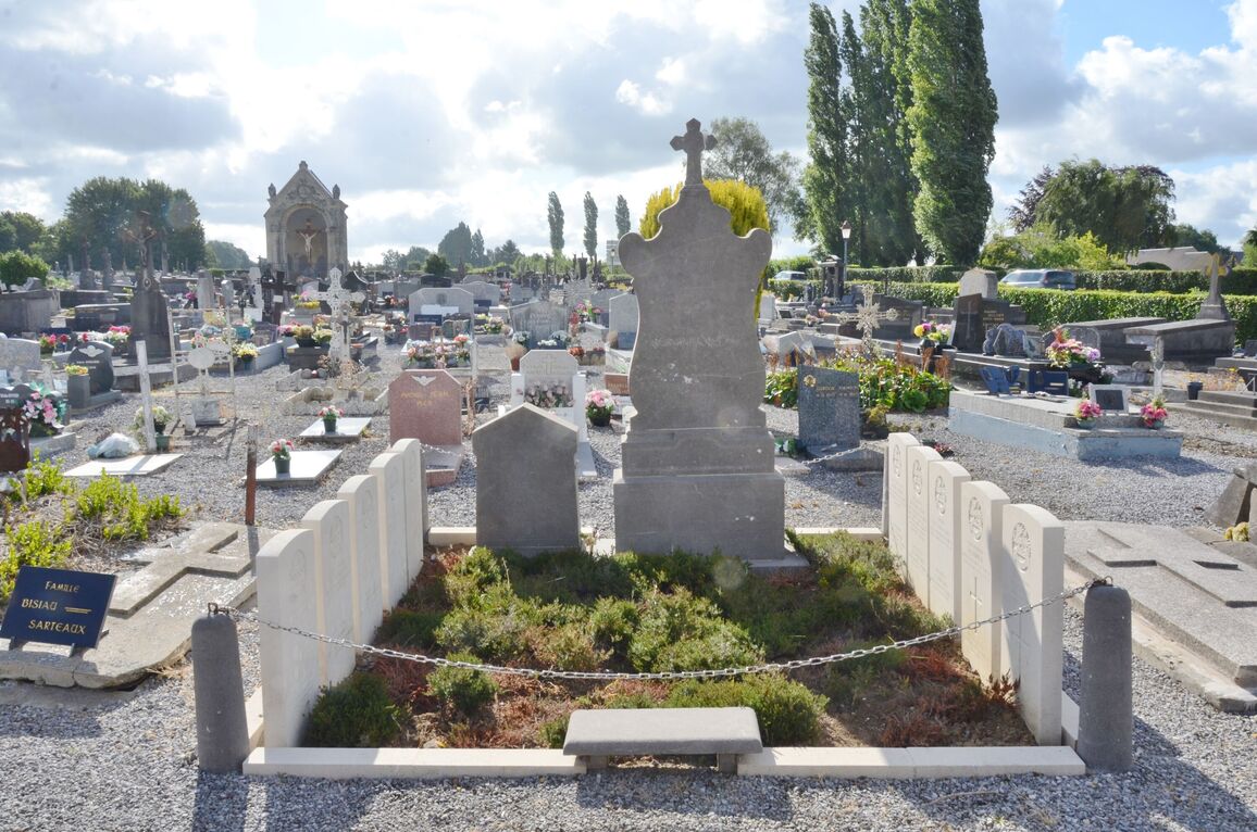
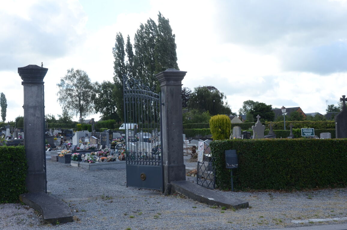
Maroilles is a village in the Department of the Nord, some 30 kilometres south-east of Valenciennes, 5.5 kilometres north-north-east of Landrecies. The village is on the D959 Landrecies/Avesnes-sur-Helpe road. The cemetery is to the north of the village up the hill, and the Commonwealth war graves are near the right hand side of the entrance.
History information
Maroilles was the scene of fighting on 25 August 1914, but then remained in German hands until it was captured by the 25th Division on 5 November 1918. Maroilles Communal Cemetery contains 20 Commonwealth burials of the First World War.