Beaurevoir Communal Cemetery British Extension
- Country France
- Total identified casualties 82 Find these casualties
- Region Aisne
- Identified casualties from First World War
- GPS Coordinates Latitude: 49.99245, Longitude: 3.31745
Location information
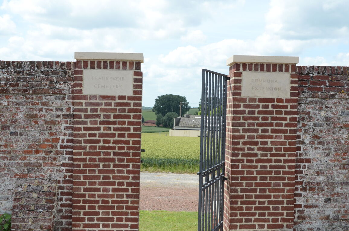
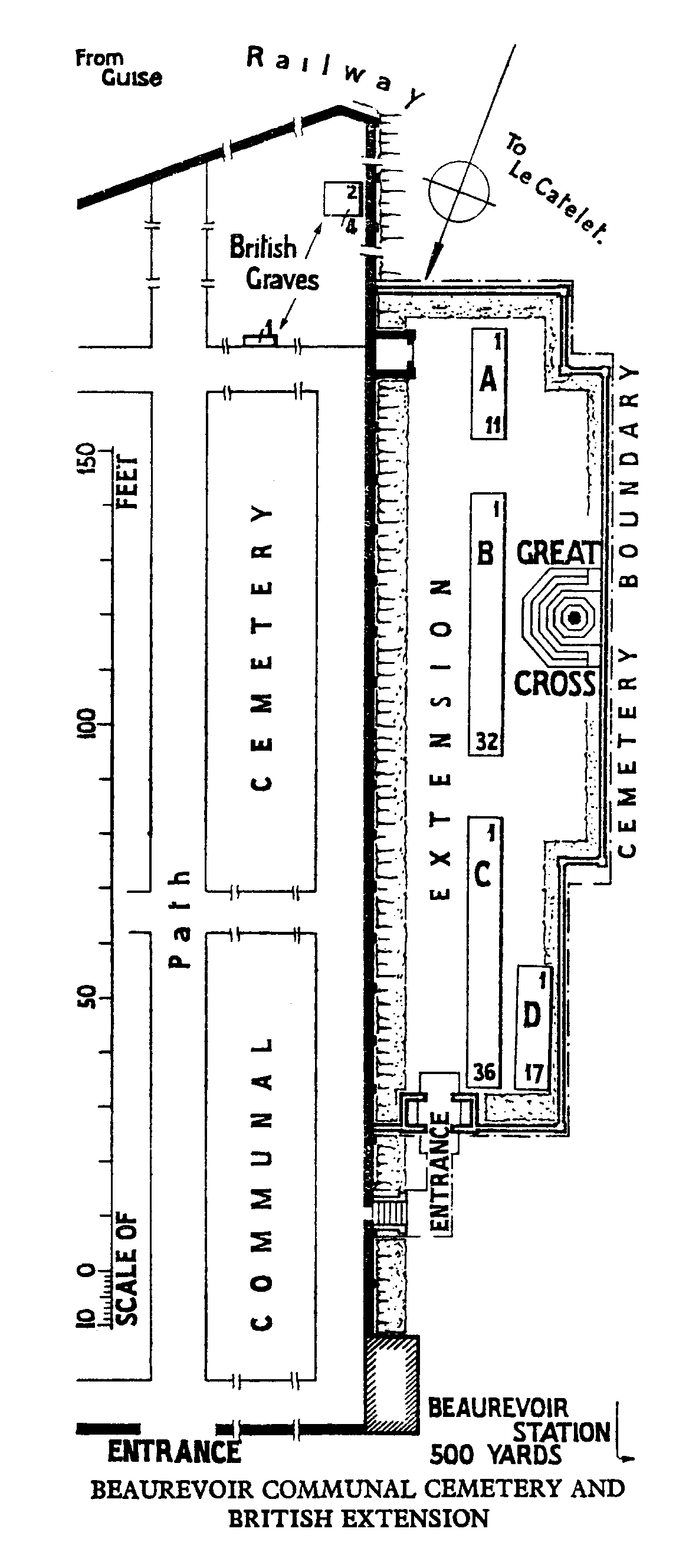
Beaurevoir is a village in the north-eastern corner of the Department of the Aisne, midway between Cambrai and St Quentin (approximately 19 kilometres north of St. Quentin). Beaurevoir Communal Cemetery is situated on the D28 in the direction of Montbrehain. It is first signposted by the square in front of the church and then again at the road fork of the D28 and D716. The British Extension will be found behind the Communal Cemetery.
History information
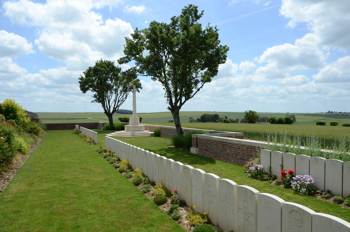
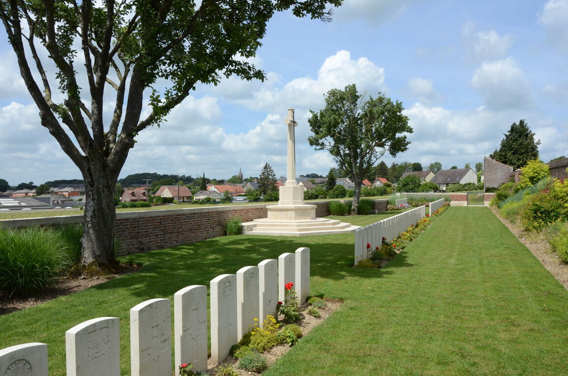
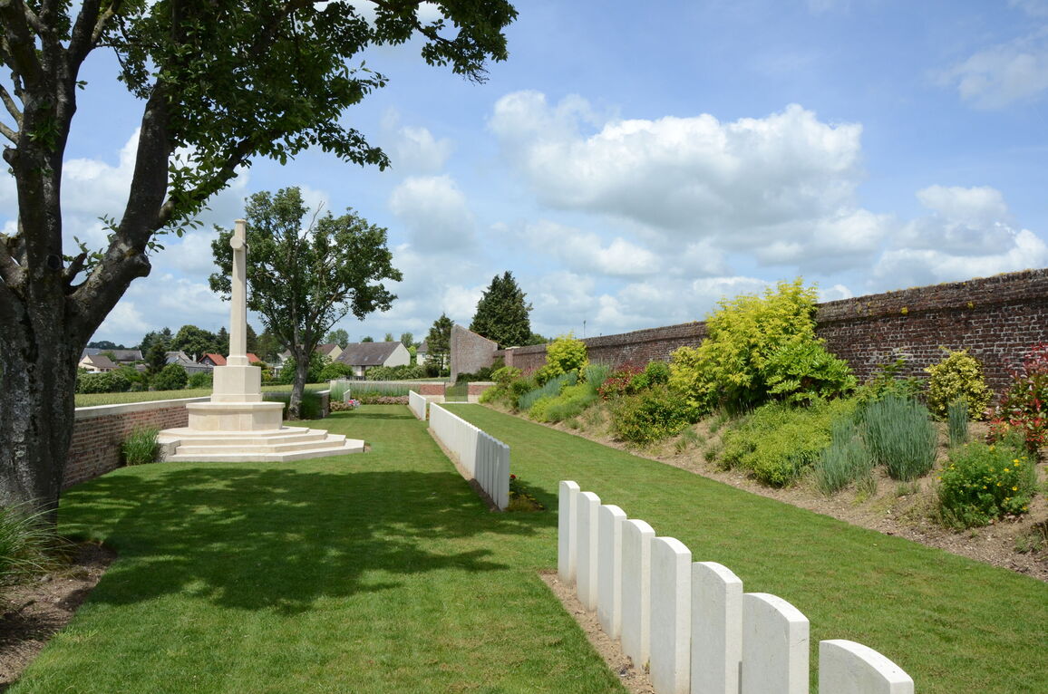
The village of Beaurevoir was attacked by the 2nd Australian Division on the 3rd October, 1918, and taken by the 25th Division on the 5th. The Communal Cemetery British Extension was made by the 25th Division in October, 1918.
There are now nearly 100, 1914-18 war casualties commemorated in this site. Of these, over 10 are unidentified.
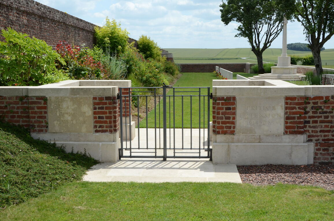
The British Extension covers an area of 578 square metres and is enclosed on three sides by a low brick wall and on the fourth by the high brick wall of the Communal Cemetery.