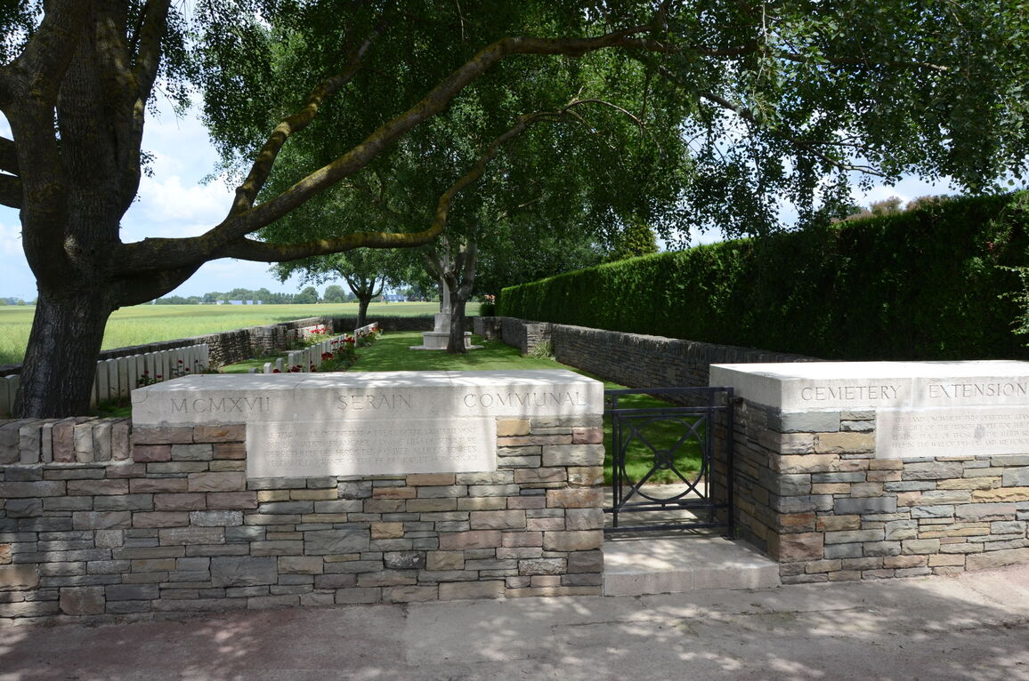
Serain Communal Cemetery Extension
- Country France
- Total identified casualties 91 Find these casualties
- Region Aisne
- Identified casualties from First World War
- GPS Coordinates Latitude: 50.03123, Longitude: 3.36363
Location information
Serain is a village in the Department of Aisne, 19.5 kilometres south-east of Cambrai, and 6.5 kilometres west of Busigny Railway Station.
Visiting information
Wheelchair access is possible with some difficulty.
For further information regarding wheelchair access, please contact our enquiries department on telephone number 01628 634221.
History information
Serain was captured by the 66th (East Lancashire) Division on the 8th October 1918.
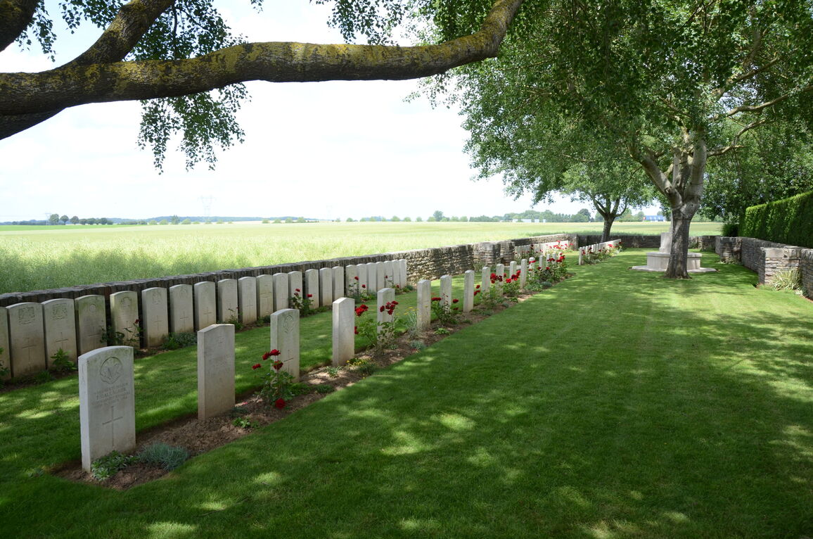
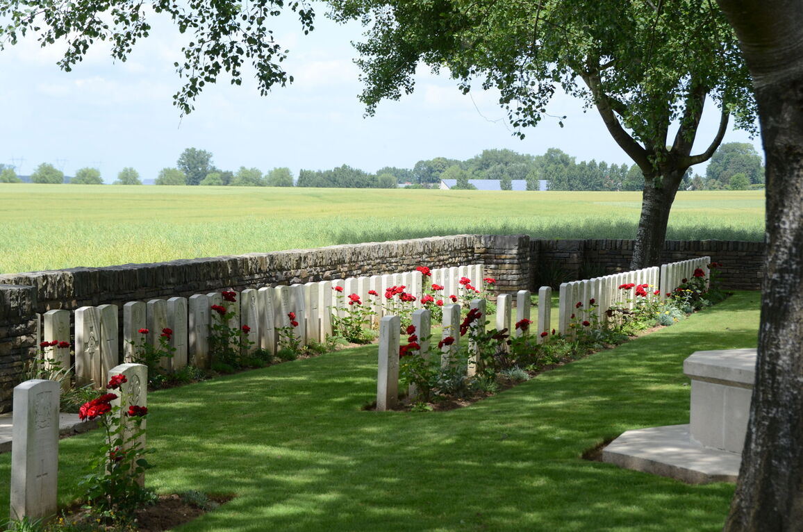
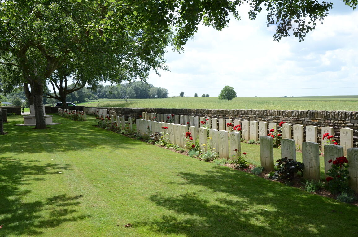
The Communal Cemetery was extended by the Germans on the North-West side, and in October 1918, the present British Extension was made on the North-West side of the German. After the Armistice the German Extension was removed; 264 German, seven Russian graves and one American were taken to other cemeteries; and 32 British graves (from the German Extension and other German cemeteries) were brought into the British Extension.
There are now over 100, 1914-18 war casualties commemorated in this site. Of these, nearly 20 are unidentified.
The cemetery covers an area of 630 square metres and is enclosed by a stone rubble wall.