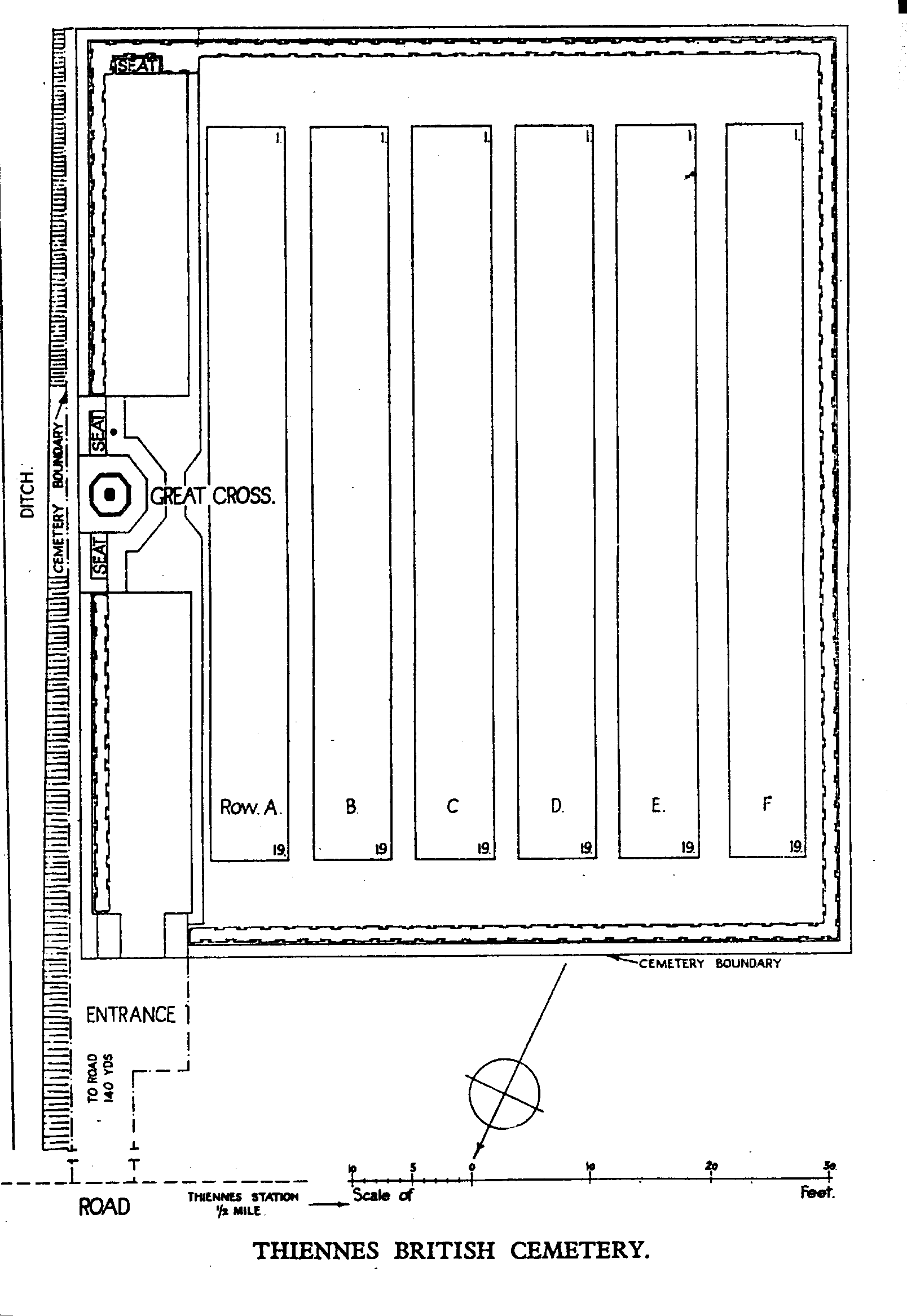
Thiennes British Cemetery
- Country France
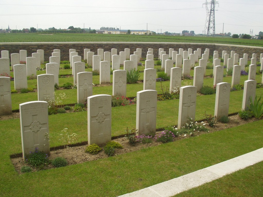
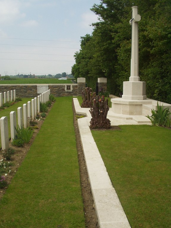
- Total identified casualties 114 Find these casualties
- Region Nord
- Identified casualties from First World War
- GPS Coordinates Latitude: 50.65339, Longitude: 2.48021
Location information
The village of Thiennes is 9 kilometres south-west of Hazebrouck and 17 kilometres north-west of Bethune. Take the D 194 from Aire Sur La Lys to Thiennes. Travel through the town on the D 122 and turn immediately left after the level crossing. Follow the small road alongside the railway line for 100 metres and bear right at the small junction and follow the road for 500 metres. The cemetery is in the field on the right.
Visiting information
Wheelchair access to this cemetery is possible with some difficulty. For further information regarding wheelchair access, please contact our Enquiries Section on 01628 507200.
History information
The German offensive of April 1918 pushed the front line back almost as far as St. Venant in this sector and this was one of the cemeteries made for Commonwealth burials arising from the fighting in the area. Thiennes British Cemetery was started by the 5th Division in May and used by the 59th and 61st Divisions before being closed in August 1918. There are now 114 First World War burials in the cemetery. The cemetery was designed by W H Cowlishaw.