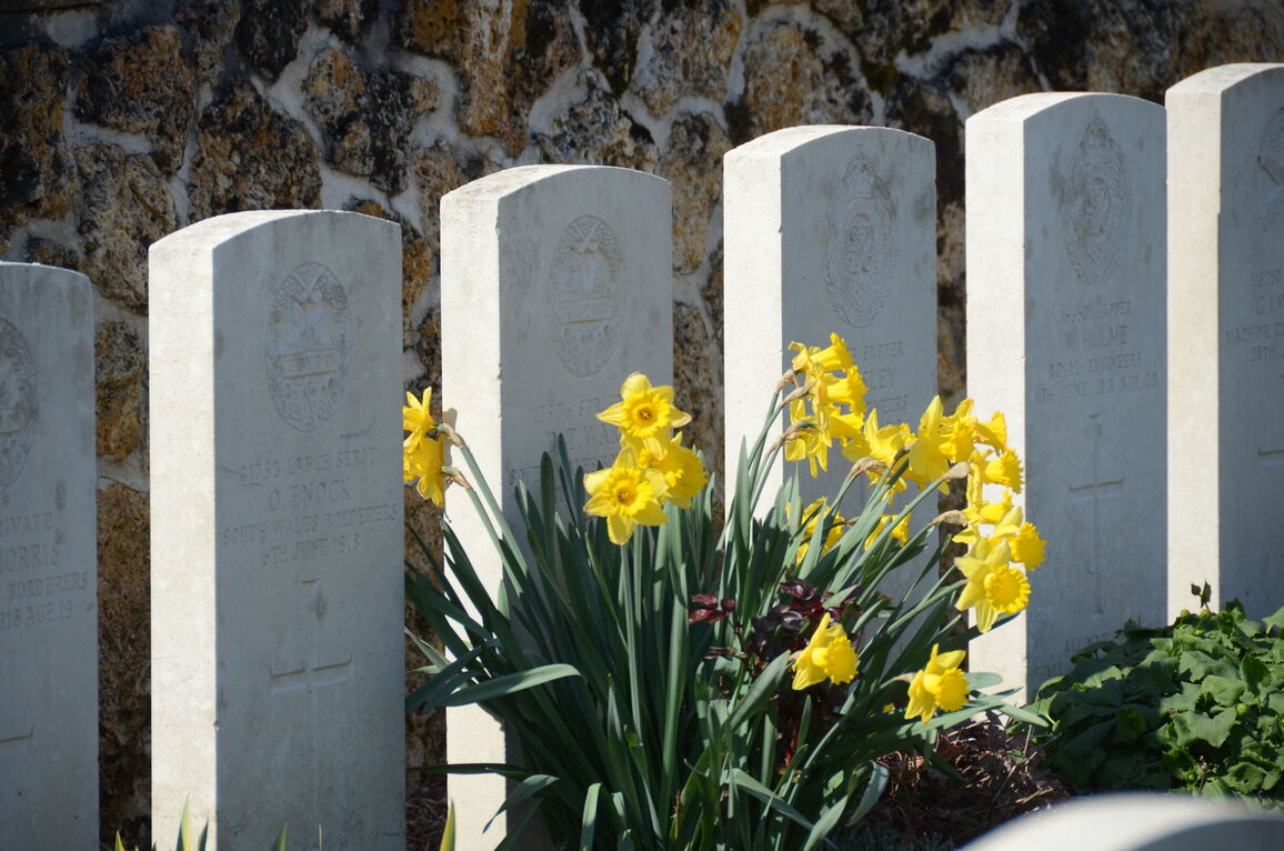
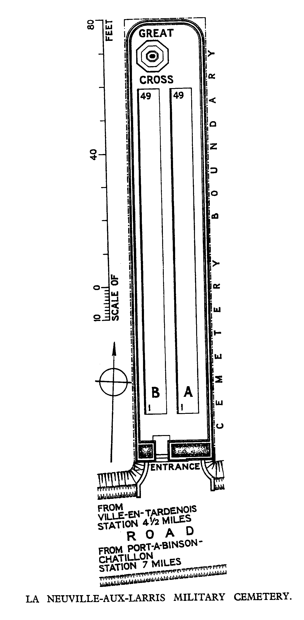
La Neuville-Aux-Larris Military Cemetery
- Country France
- Total identified casualties 67 Find these casualties
- Region Marne
- Identified casualties from First World War
- GPS Coordinates Latitude: 49.14214, Longitude: 3.84582
Location information
La Neuville-aux-Larris is 22 kilometres west of Reims. It can be reached from the direction of Reims by following the RD980, the Reims to Chateau Thierry road. Twenty minutes from the outskirts of Reims take the third exit at a roundabout, following the signs for Marfaux and Chaumuzy, via the RD386 road. After about 1 kilometre, turn right in the village of Chaumuzy following the signs for la Neuville-aux-Larris, via the D24 road. Shortly after entering the village of La Neuville-aux-Larris, turn left following the CWGC sign. The cemetery is visible on the left side of the road after about 150 metres.
Visiting information
Wheelchair access to this cemetery is possible with some difficulty. For further information regarding wheelchair access, please contact our Enquiries Section on telephone number 01628 507200.
History information
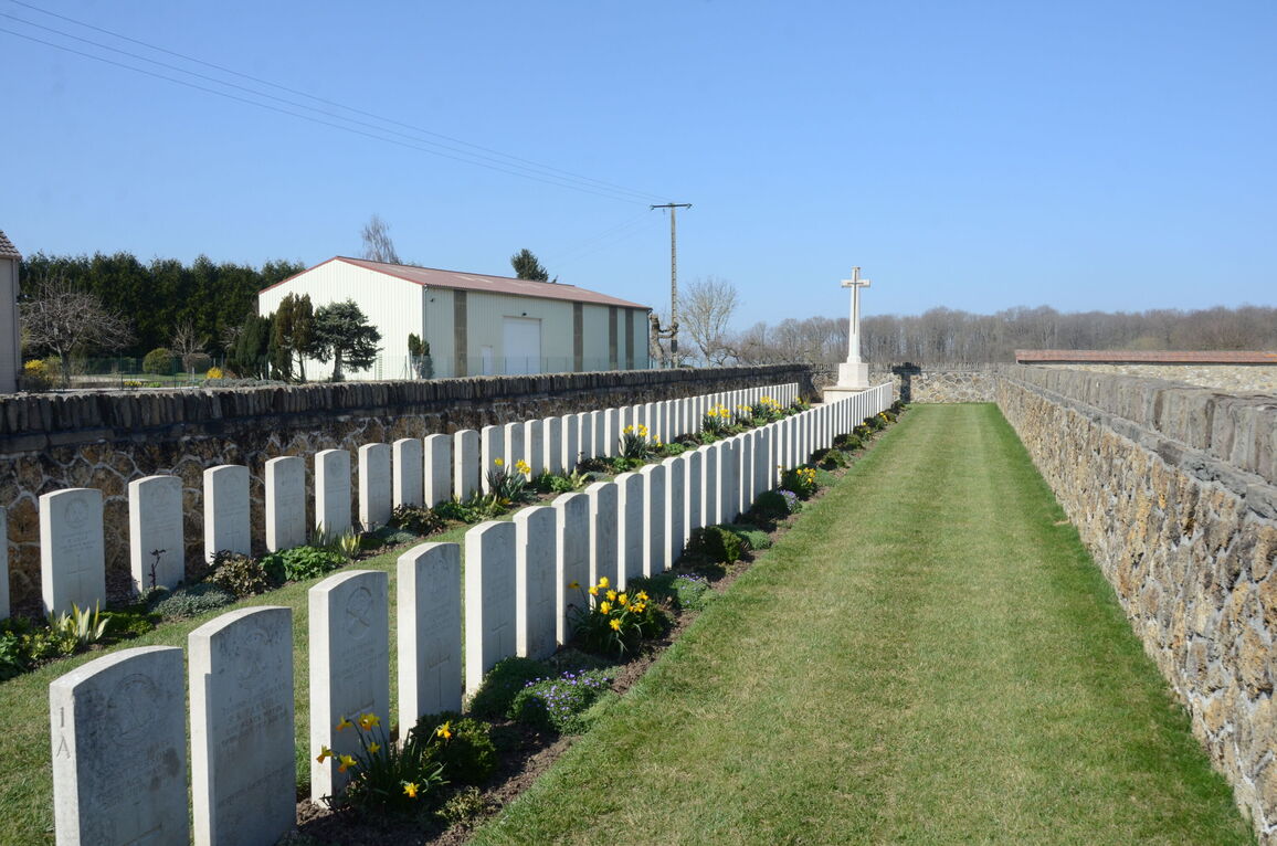
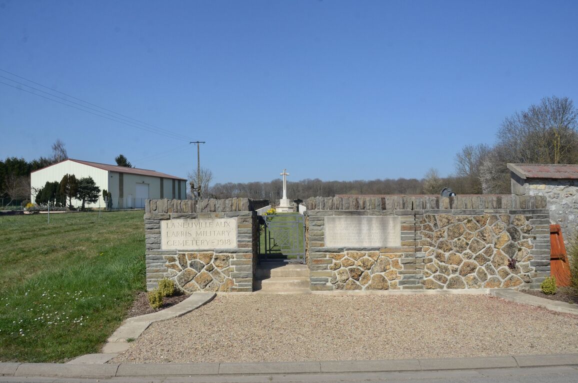
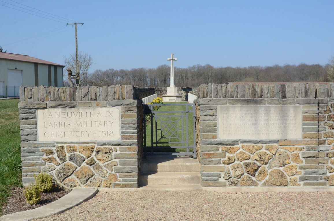
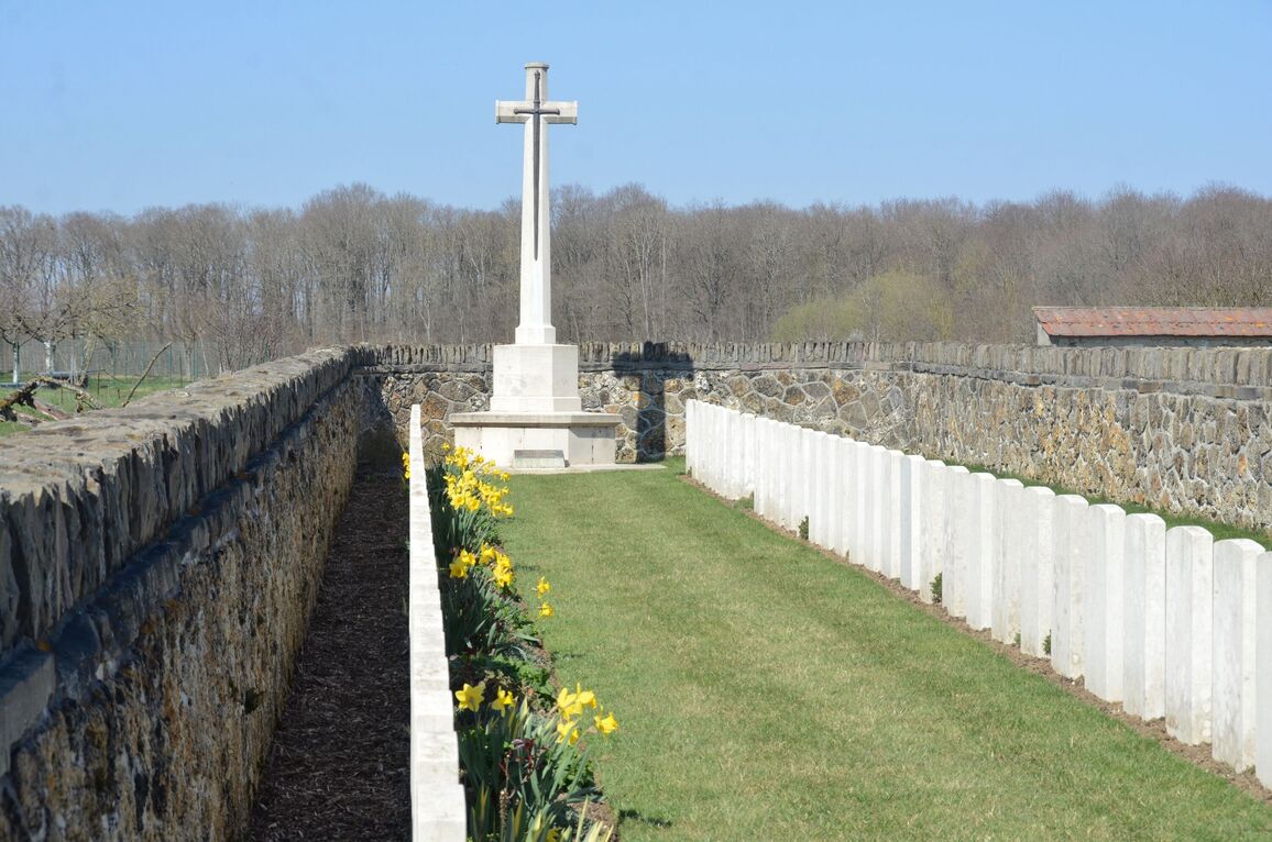
The cemetery was begun by French African troops in June 1918, and closed in the middle of July; the British graves, and other French and German, were brought in after the Armistice; but the 137 French and 42 German graves were removed later. There are now nearly 100, 1914-18 war casualties commemorated in this site. Of these, one-third are unidentified. The cemetery covers an area of 303 square metres and it is enclosed by a low stone rubble wall.