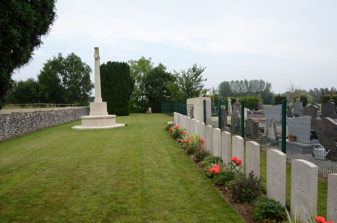
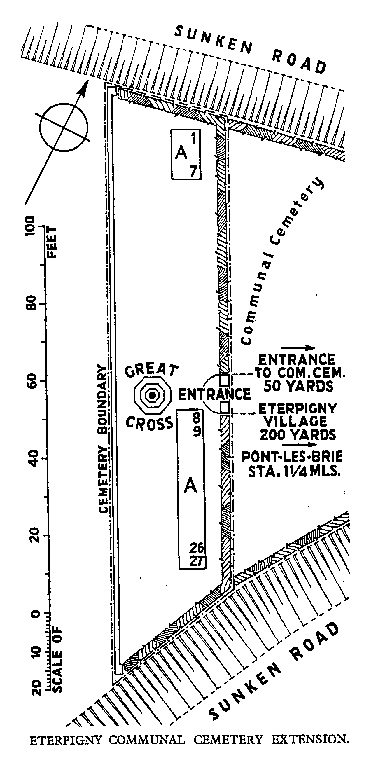
Eterpigny Communal Cemetery Extension
- Country France
- Total identified casualties 18 Find these casualties
- Region Somme
- Identified casualties from First World War
- GPS Coordinates Latitude: 49.89006, Longitude: 2.92188
Location information
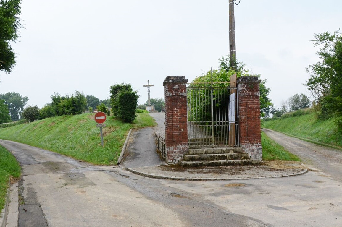
Eterpigny is a small village 2 kilometres south of Peronne on the D1017. The Extension, where the war graves are situated, is behind the Communal Cemetery and is signposted from the centre of the village.
Visiting information
The location or design of this site makes wheelchair access very difficult. For further information regarding wheelchair access, please contact our Enquiries Section on enquiries@cwgc.org or 01628 507200.
History information
Eterpigny was captured by German forces in March 1918, and recovered at the end of the following August; in October 1918, it was H.Q. Fourth Army.
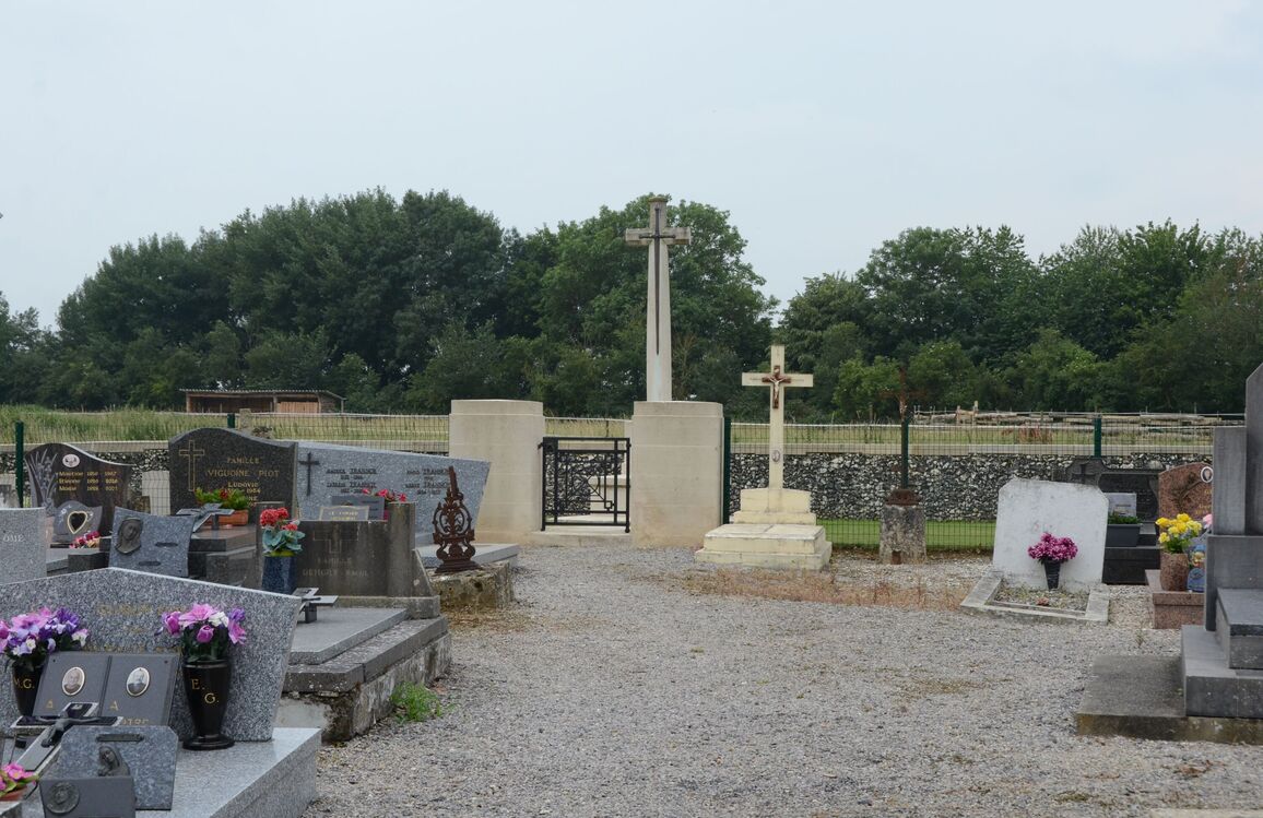
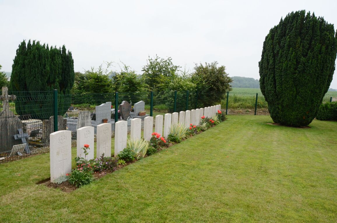
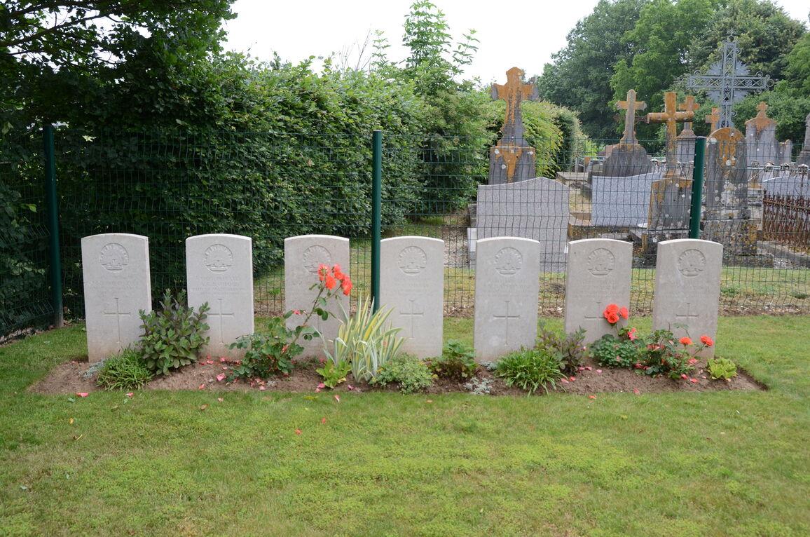
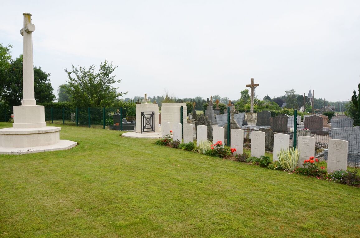
The Extension was a row of graves, begun by the enemy in March, 1918, when United Kingdom and German soldiers were buried, and completed at the end of August when Australian soldiers were buried by their comrades. The German graves were removed in 1924.
There are now 27, First World War casualties commemorated in this site. Of these, 9 are unidentified.
The Extension covers an area of 409 square metres.