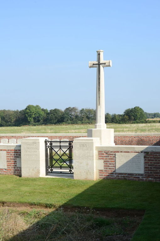
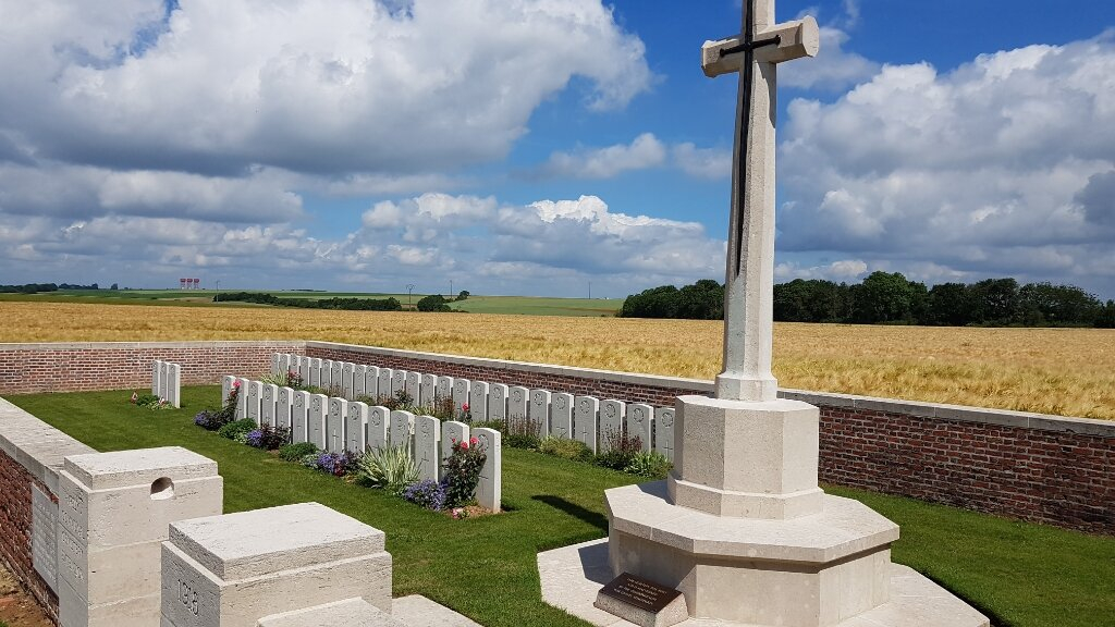
Vrely Communal Cemetery Extension
- Country France
- Total identified casualties 39 Find these casualties
- Region Somme
- Identified casualties from First World War
- GPS Coordinates Latitude: 49.80084, Longitude: 2.68762
Location information
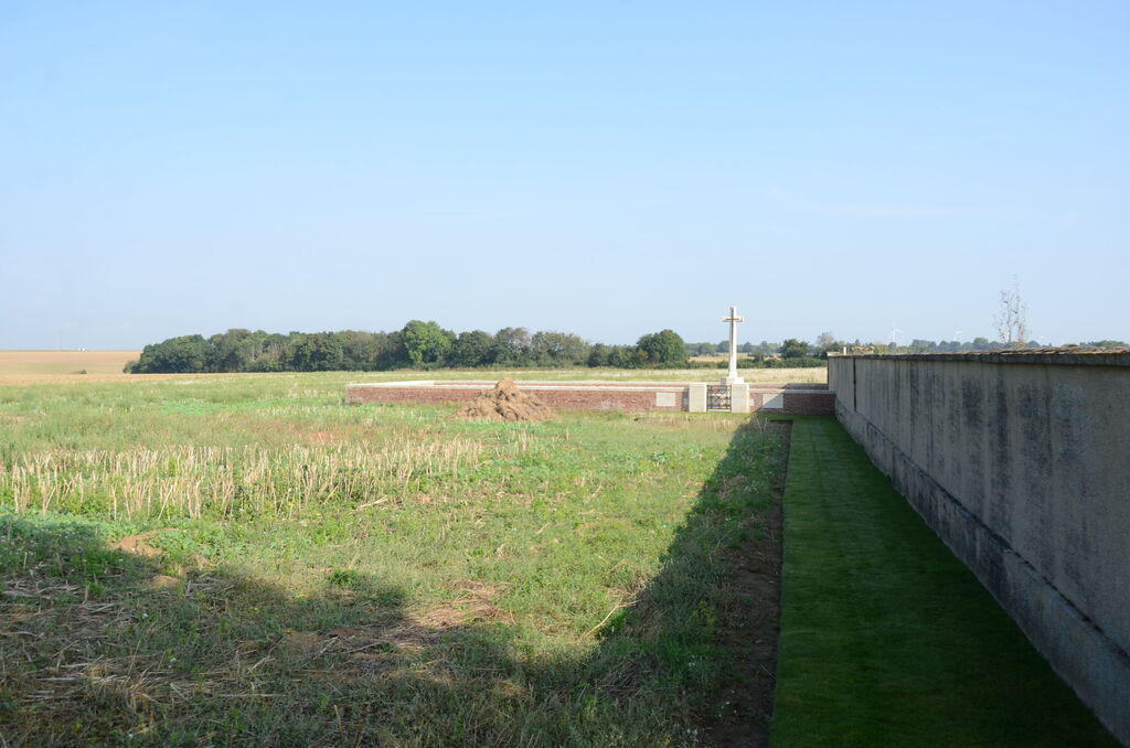
Vrely is a village 32 kilometres East of Amiens, immediately South of Rosieres-en-Santerre. The Communal Cemetery Extension adjoins the rear of the Communal Cemetery which is West of the village on the road to Caix.
Visiting information
Wheelchair access with some difficulty. For further information regarding wheelchair access, please contact our enquiries department on telephone number 01628 634221.
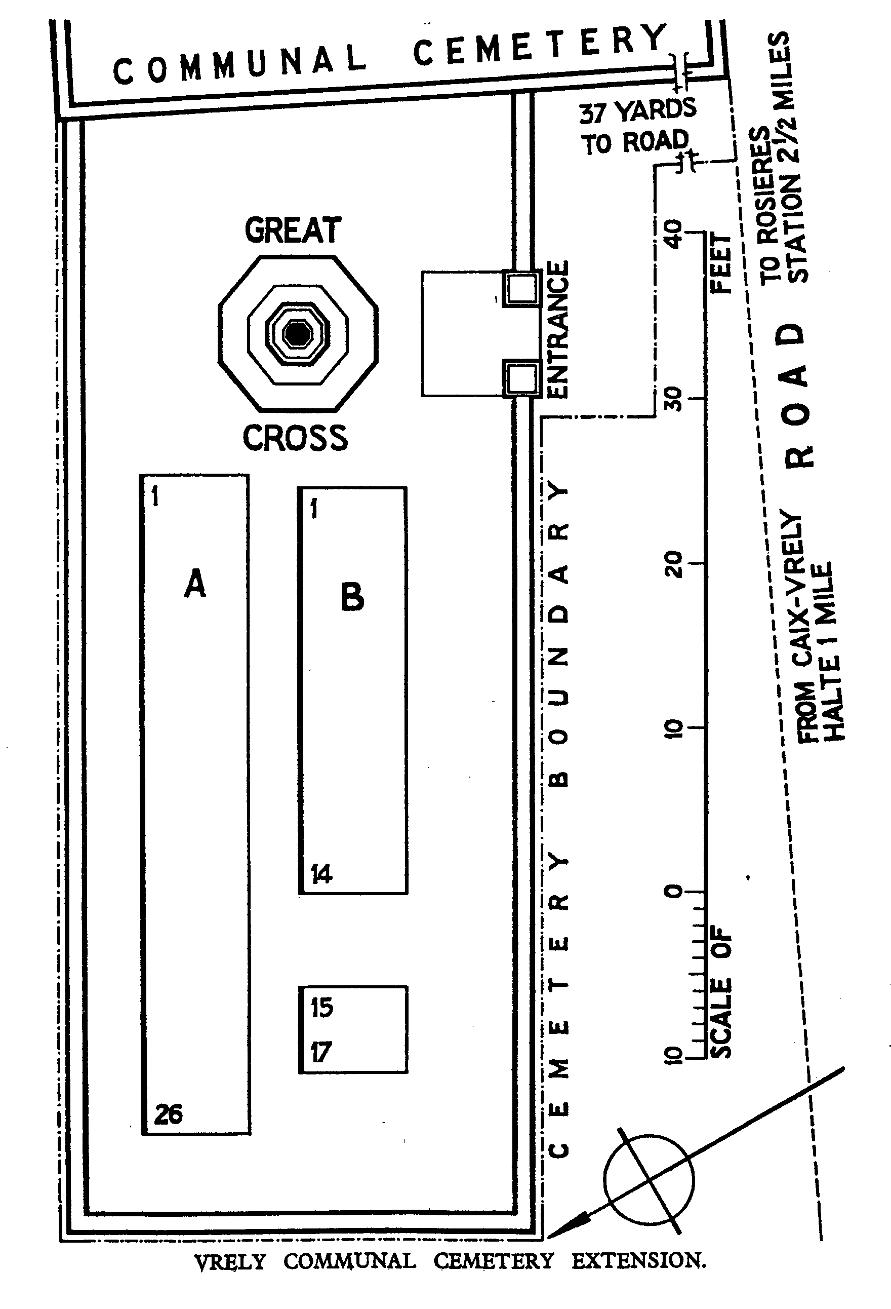
Download Cemetery Plan
History information
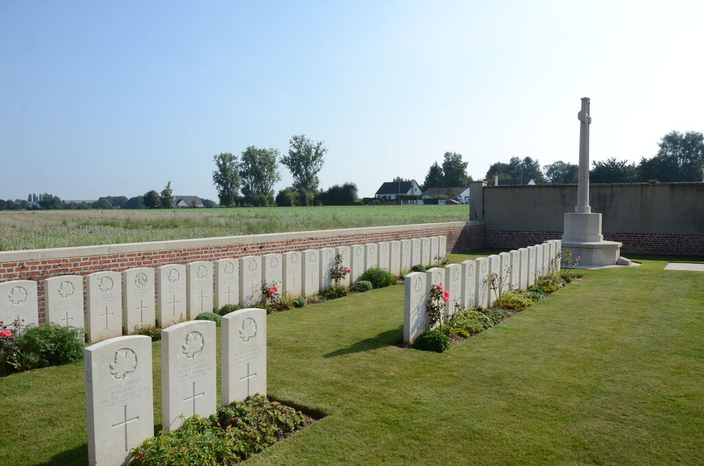
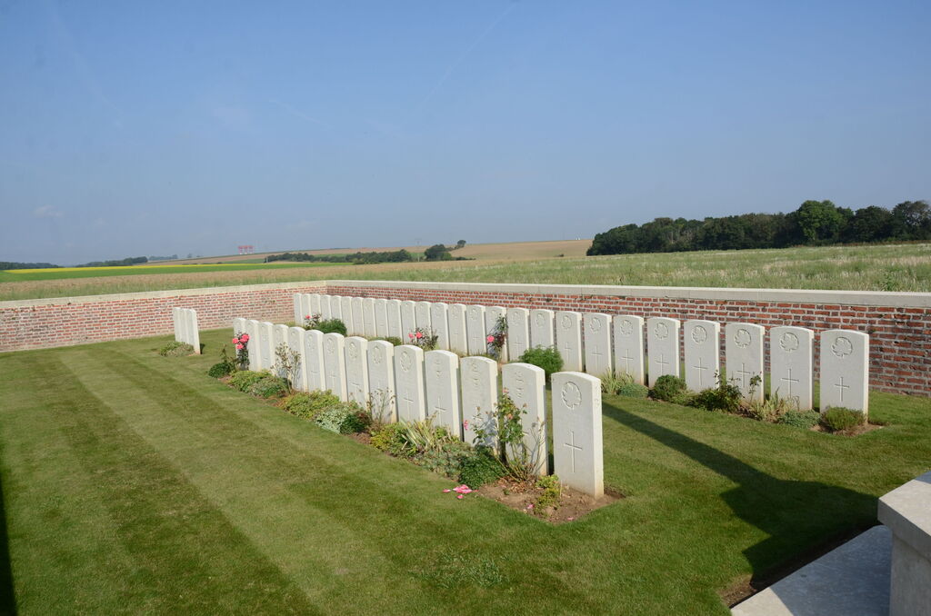
Vrely was captured by the 2nd Canadian Division on 9 August 1918. The communal cemetery extension was made by the Canadian Corps Burial Officer after the capture of the village. The extension contains 43 Commonwealth burials of the First World War, four of which are unidentified.