Broxeele Churchyard
- Country France
- Total identified casualties 1 Find these casualties
- Region Nord
- Identified casualties from First World War
- GPS Coordinates Latitude: 50.83075, Longitude: 2.31989
Location information
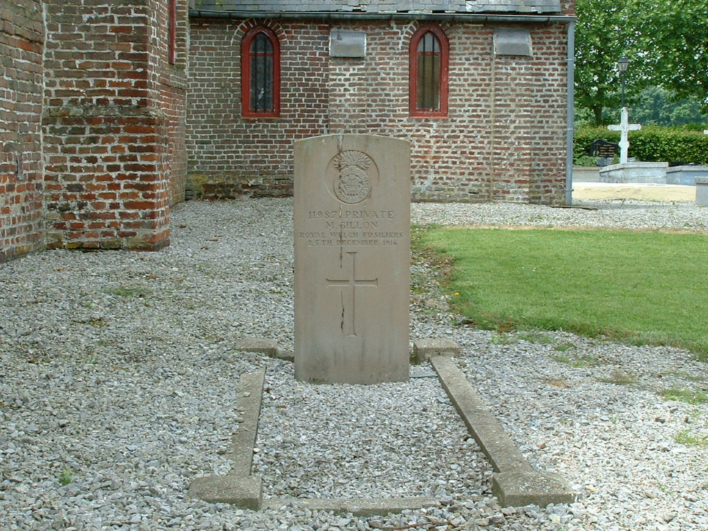
Broxeele is a small village in the Nord Department on the D928 between St Omer and Bergues, approximately 10 kilometres north-north-east of St Omer. The Commonwealth war grave is situated to the left hand side of the church near to the church wall.