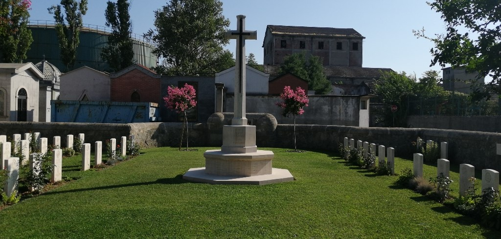
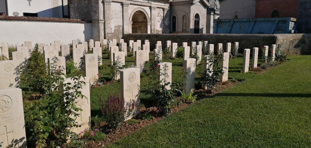
Arquata Scrivia Communal Cemetery Extension
- Country Italy
- Total identified casualties 94 Find these casualties
- Identified casualties from First World War
- GPS Coordinates Latitude: 44.6942, Longitude: 8.87795
Location information
Exit from the A7 motorway at Arquata - Vignole and follow the signs in the direction of Arquata Scrivia. Proceed straight ahead after the stop sign and follow the road as it veers right. The Cemetery is signposted on the right. Cemetery address: Via Serravalle - 15061 Arquata Scrivia (AL). GPS Co-ordinates: Latitude: 44.695505, Longitude: 8.876009. The extension is a CWGC cemetery and is permanently open.
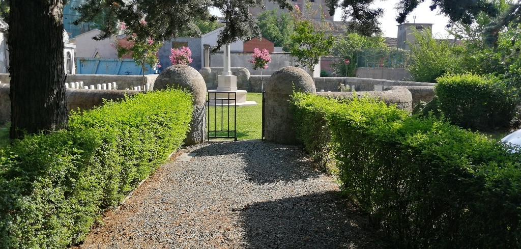
Visiting information
The Cemetery is permanently open and may be visited at any time. Wheelchair access is possible via the main entrance.
For further information and enquiries please contact enquiries@cwgc.org
History information
The Italians entered the war on the Allied side, declaring war on Austria, in May 1915. Commonwealth forces were at the Italian front between November 1917 and November 1918, and rest camps and medical units were established at various locations in northern Italy behind the front, some of them remaining until 1919. From the summer of 1917 until late 1918, the Mediterranean lines of communication for the British Salonika Force ran the length of Italy from Taranto in the south-east, to Turin in the north-west. Arquata contained the headquarters of a lines of communication area, a base supply depot, a camp and a hospital for prisoners of war, and, at different times, two stationary hospitals. The extension, on the east side of the communal cemetery, was used from December 1917 to March 1920, and contains 94 Commonwealth burials of the First World War.