Wanquetin Communal Cemetery
- Country France
- Total identified casualties 8 Find these casualties
- Region Pas de Calais
- Identified casualties from First World War
- GPS Coordinates Latitude: 50.27813, Longitude: 2.61986
Location information
Wanquetin is a village approximately 12 kilometres west of Arras and approximately 6 kilometres north of Beaumetz. Wanquetin Communal Cemetery lies to the north-east of the village on the road to Warlus (D.59)
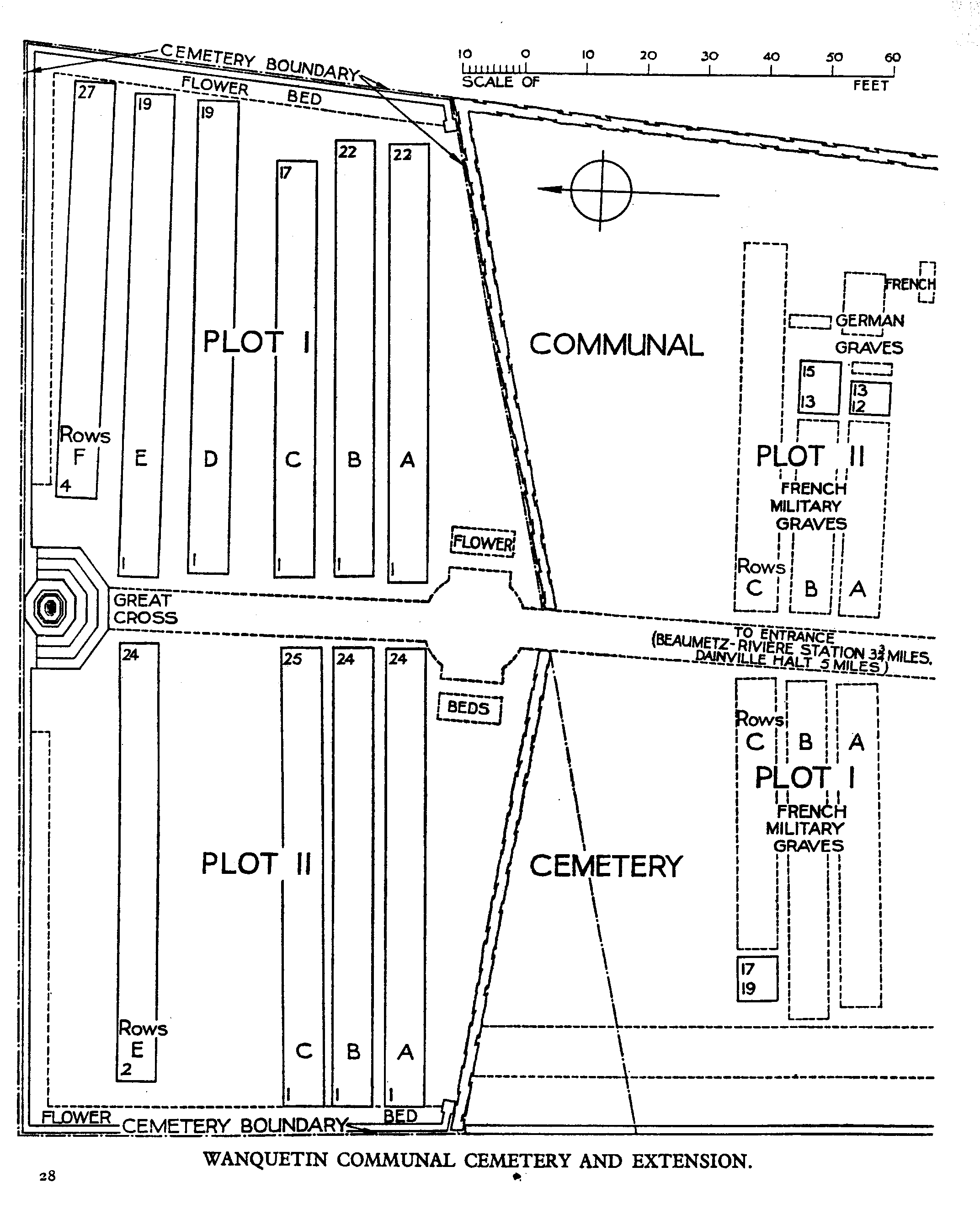
Download Cemetery Plan
History information
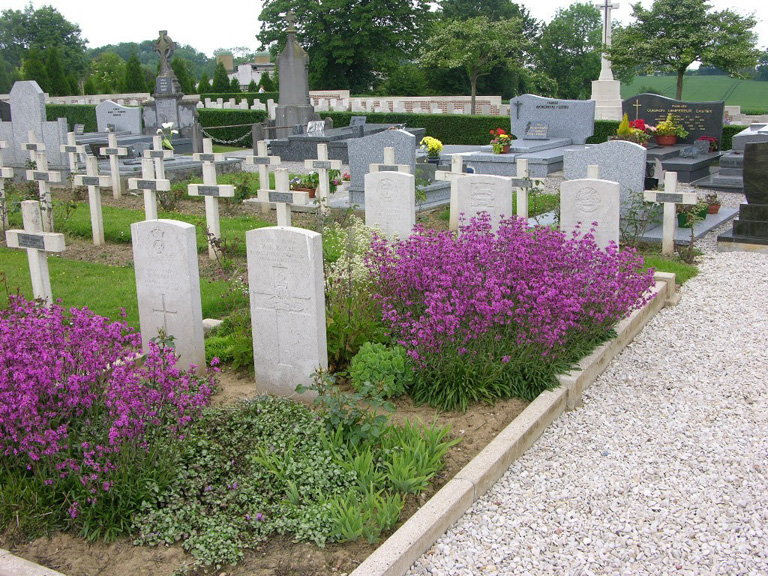
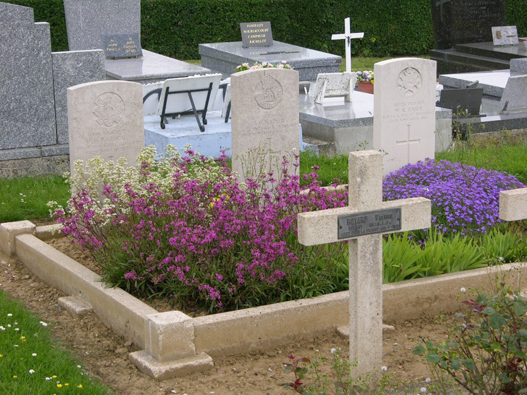
A few burials were made in the communal cemetery from March to November 1916, but in October 1916, the 41st Casualty Clearing Station came to the village, and by the end of November it had become necessary to begin the extension. The communal cemetery contains eight Commonwealth burials of the First World War, the extension 222. The extension also contains nine Second World War burials from May 1940. The extension was designed by Sir Reginald Blomfield.