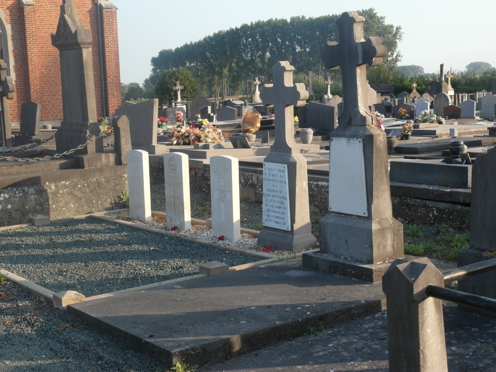
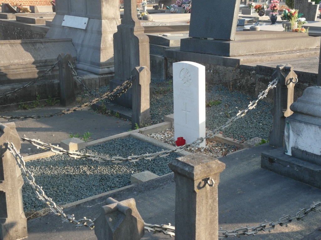
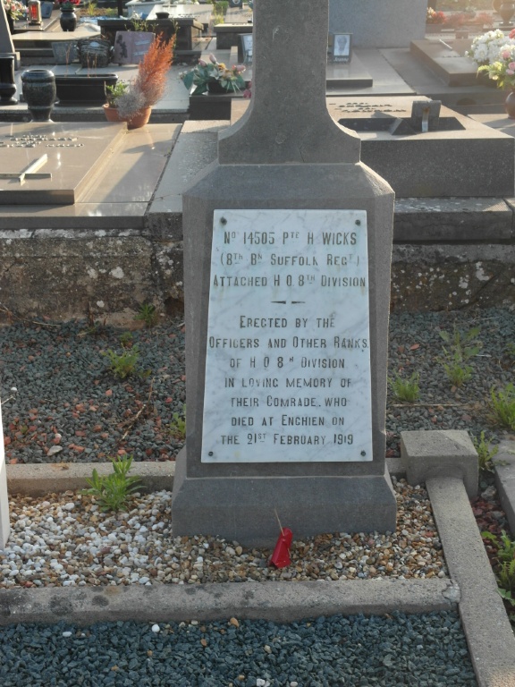
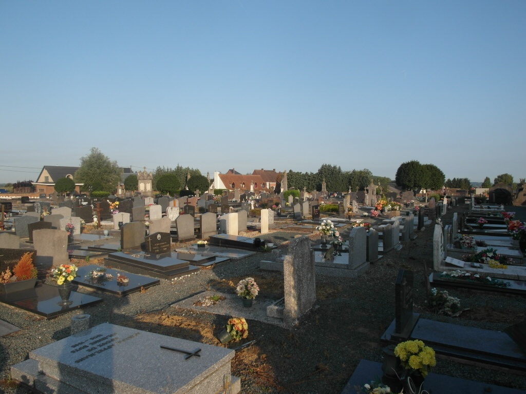
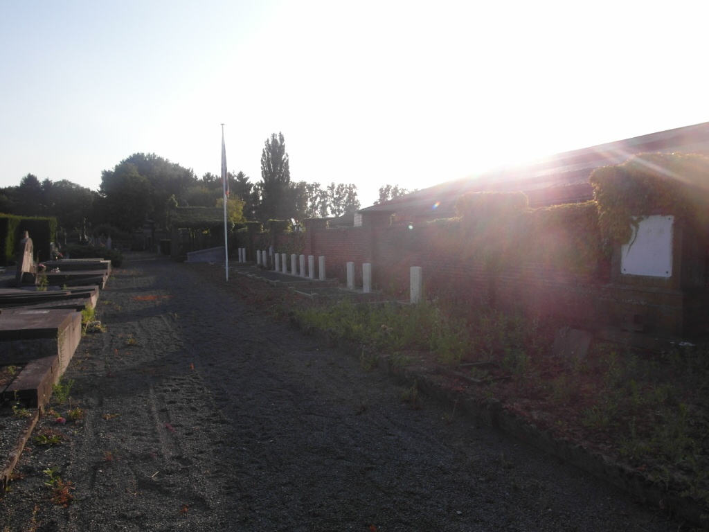
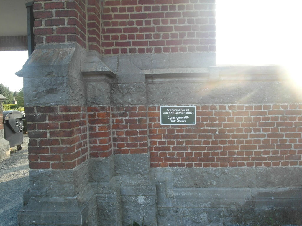
Enghien (Edingen) Communal Cemetery
- Country Belgium
- Total identified casualties 17 Find these casualties
- Region Hainaut
- Identified casualties from First & Second World War
- GPS Coordinates Latitude: 50.70049, Longitude: 4.03353
Location information
The town of Enghien is located south-east of Brussels on the N255. From the E40 motorway turn off at junction 19 Aalst and onto the N45 direction Ninove. Follow the N45 to Ninove round the ring to the junction with the N8, turn right onto the N8 and follow for a short distance to the junction with the N255. Turn left onto the N255 direction Denderwindeke, follow the N255 to the junction with the N495 which is just before the town of Enghien. The cemetery is after this junction on the left of the road before the railway crossing. The graves are located through the main entrance and then to the right.
History information
The British Expeditionary Force was involved in the later stages of the defence of Belgium following the German invasion in May 1940, and suffered many casualties in covering the withdrawal to Dunkirk. Commonwealth forces did not return until September 1944, but in the intervening years, many airmen were shot down or crashed in raids on strategic objectives in Belgium, or while returning from missions over Germany. Enghien Communal Cemetery contains 13 Commonwealth burials of the Second World War. There is also a small plot containing five First World War burials.