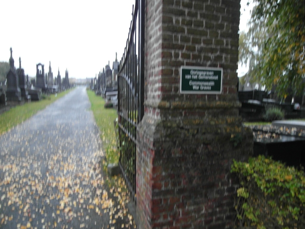
Handzame Communal Cemetery
- Country Belgium
- Total identified casualties 6 Find these casualties
- Region West-Vlaanderen
- Identified casualties from Second World War
- GPS Coordinates Latitude: 51.02867, Longitude: 3.00524

Location information
The village of Handzame is located 10 kilometres east of the town of Lichtervelde off the N35 which runs between Lichtervelde and Diksmuide. Driving along the N35 from Lichterveld in the direction of Diksmuide cross the railway line and take the third turning on the right signed for Handzame. Follow this road into the village and out the other side, the cemetery is located on this road. The graves are toward the left in the middle of the cemetery.
History information
The British Expeditionary Force was involved in the later stages of the defence of Belgium following the German invasion in May 1940, and suffered many casualties in covering the withdrawal to Dunkirk. Commonwealth forces did not return until September 1944, but in the intervening years, many airmen were shot down or crashed in raids on strategic objectives in Belgium, or while returning from missions over Germany. Handzame Communal Cemetery contains the graves of six Commonwealth airmen of the Second World War.