Dinant (Citadelle) Military Cemetery
- Country Belgium
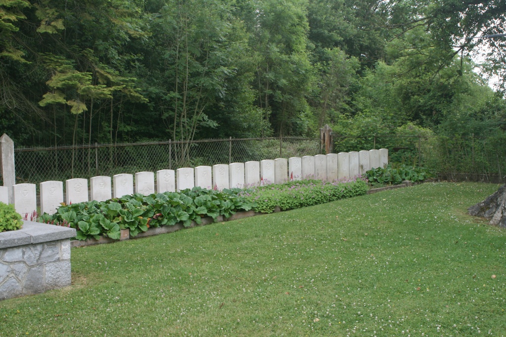
- Total identified casualties 25 Find these casualties
- Region Namur
- Identified casualties from Second World War
- GPS Coordinates Latitude: 50.26161, Longitude: 4.9157
Location information
The town of Dinant is located on the junctions of the N96/92. From the motorway E411/A4 which runs between Brussel and Luxembourg turn off at junction 20 onto the N97 direction Dinant. Follow the N97 to the first exit and turn onto the N936 Tige de Taviet direction Dinant. The road changes name to Grand'Route de Ciney and then Rue Saint-Jaques. After several kilometers the road passes through a commercial zone then bends left and descends down a steep hill. Turn left at the first junction into Rue Pont d'Amour, there are tourist signs to La Citadelle. Then take the first right into Chemin d'Herbuchenne. Then again first right into Chemin de la Citadelle. The cemetery is on the left. The graves are located in the far left hand corner of the French Military Cemetery and cannot be seen from the entrance.
History information
The British Expeditionary Force was involved in the later stages of the defence of Belgium following the German invasion in May 1940, and suffered many casualties in covering the withdrawal to Dunkirk. Commonwealth forces did not return until September 1944, but in the intervening years, many airmen were shot down or crashed in raids on strategic objectives in Belgium, or while returning from missions over Germany. Dinant (Citadelle) Military Cemetery contains the graves of 25 airmen of the Second World War.